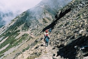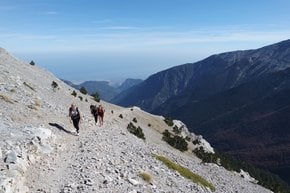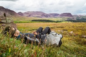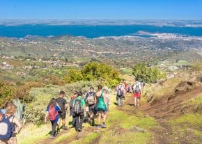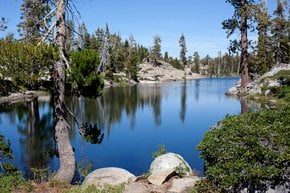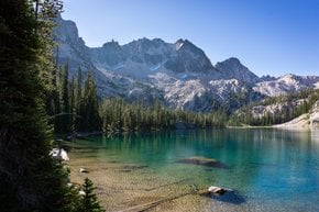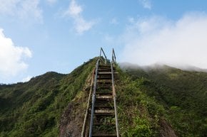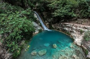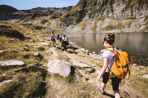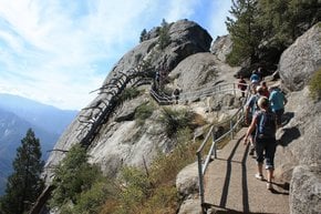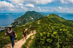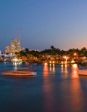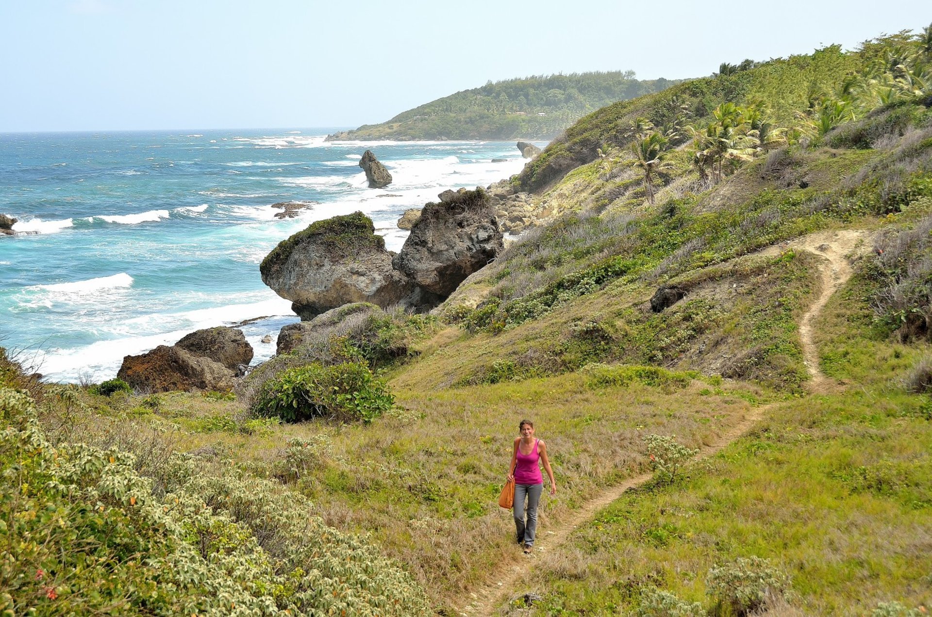
Barbados is only 21 mi (34 km) long and 14 mi (23 km) wide. So why not explore it on foot? You can choose to hike coastal trails or rural inland areas, walk rolling hills and grasslands, breathe in the fresh air of dense rainforests, or head to the unbeatable rugged northeast with its dramatic cliffs. Dozens of guided hikes around the island are organized by the Barbados National Trust and Barbados Hiking Associations. The tours are free, but feel free to make donations to the National Trust.
Best season for hiking in Barbados
For the best weather, skip the hurricane season from June to November. The other drier half of the year, December through May, is also better since the average temperature drops slightly. At least, avoid the month of August, which is excessively hot and humid. Anyway, tropical climate means the days are pretty hot year-round. So most guided trips start either around 6 am, or 3:30 pm, when the sun is less scorching.
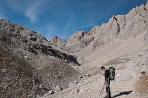
Barbados hiking trails
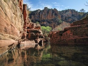
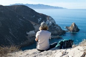
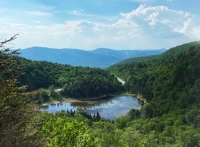
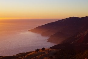
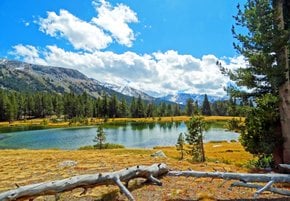
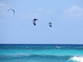
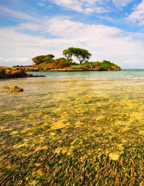
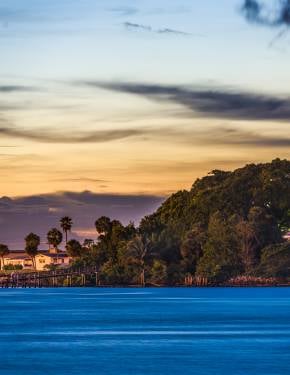
While the best beaches sit mainly on the west Caribbean coast, the most breathtaking hiking trails can be found along the wild east Atlantic coast, further from tourist sites. The distances differ from 5 mi (8 km) to 20 mi (32 km). Most routes are rated easy, and only some are moderate.
Bathsheba Coastal Walk
You can start your hiking adventures in Bathsheba. Go southeast to Bathsheba Coastal Walk, spanning 4 mi (7 km) to Bath. You'll see an abandoned railway and fascinating seascapes all along the way. The route is easy and requires about 2.5 hours to complete.
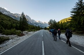
Coast-to-Coast Trail
If you want to escape the sea and explore the in-land, set off to the Coast-to-Coast Trail, which starts north of Bathsheba, at the border of St. Andrew and St. Joseph parishes, and ends on the opposite side of the island at Holetown. This route is 10 mi (17 km) long and takes a little more than 5 hours.
Nature & Heritage Trail
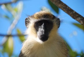
If you prefer to remain on the west coast, Nature & Heritage Trail, designed by Barbados National Trust, is your best option. This leisurely 3-hour round-trip starts outside St. Peter's Church in Speightstown. It features panoramic views of the Caribbean coast, the mysterious gully called The Whim, Warleight Plantation, the 18th-century Dover Fort, and Heywoods Beach. Besides the cultural and historical sites, you will likely encounter indigenous Barbados Blackbelly sheep.
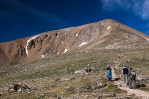
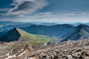
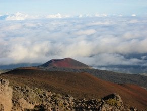
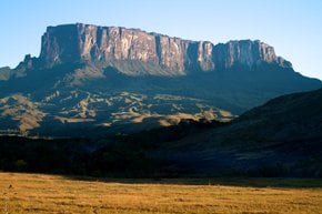
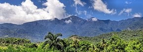
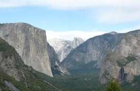
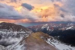
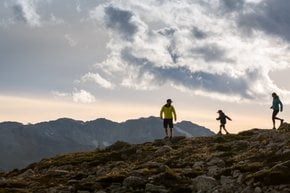
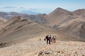
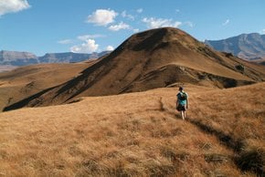
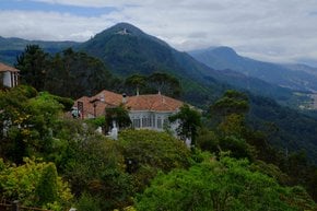
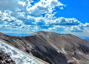
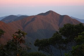
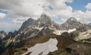
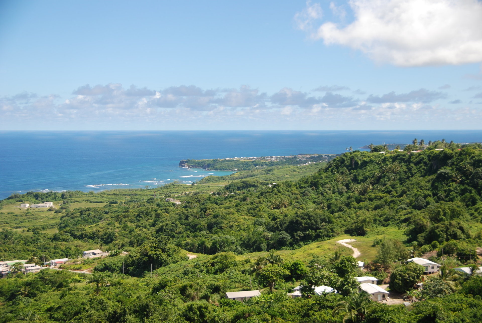
Mount Hillaby
If you feel like a bit more strenuous hiking, opt for Mt. Hillaby, which is Barbados' highest point at 1,115 ft (340 m). The peak, known for its misty morning views, is located in the north-central part of the island. The summit reveals captivating panoramas of northern and eastern Barbados. To the west, you'll see a series of terraces descending to the sea.
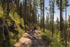
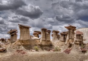
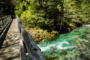
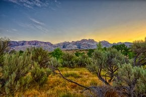
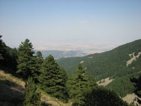
Turner's Hall Wood
Also, we suggest that you explore the biodiversity of the Scottish District at Turner's Hall Wood. The pre-colonial Barbados must have looked somewhat similar to this tropical rainforest with thick vegetation, undisturbed and completely immaculate. When you've got enough green therapy, you can hike through the Barkleys Trail down to the east coast and also meditate by the side of the Atlantic.
Hiking trails map
Lastly, what could be more comforting than a refreshing shower and a cozy bed after hours of walking? You can find all Barbados' hiking areas on the map and book accommodations nearby.
Practical info
What is the best season to hike in Barbados?
From December through May is the ideal time to hike in Barbados due to dry weather and cooler temperatures. The other half of the year, from June to November, is characterized by hurricane season with possible storms. August is the hottest and most humid month, making hiking extra challenging. Show more
Which hiking trail is considered the most challenging in Barbados?
Mt. Hillaby is the highest point in Barbados, standing at 1,115 ft (340 m), and is the most challenging hiking trail due to its steepness. The scenic views from the summit are breathtaking and worth the strenuous hike. Be sure to bring along plenty of water and suitable footwear. Show more
Where should I start my hiking adventures in Barbados?
For hiking expeditions in Barbados, Bathsheba is a recommended starting point. Enjoy the Bathsheba Coastal Walk, showcasing scenic coastal views and an abandoned railway. If you want to explore inland, the Coast-to-Coast Trail starts north of Bathsheba and ends in Holetown, providing great outdoor experiences. Show more
What can I see on the Nature & Heritage Trail?
Touring the Nature & Heritage Trail in the west coast of Barbados is an ideal outdoor adventure. Attractions included in the trail range from the Caribbean coast, Warleight Plantation, the 18th-century Dover Fort, Heywoods Beach, and The Whim, a mysterious gully. The area is home to the native Barbados Blackbelly sheep as well. Show more
Is there a hiking trail map available for Barbados?
Barbados offers a hiking trail map, providing an overview of all hiking areas in the region. Hikers can book nearby accommodations after long walks. It is essential to use the map and the services of knowledgeable guides to avoid the risk of getting lost or encountering unsafe routes. Show more