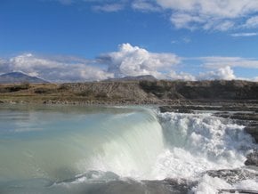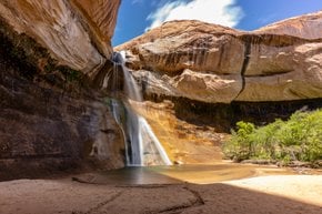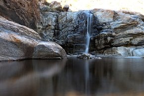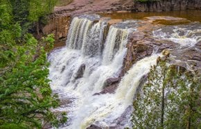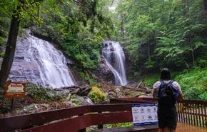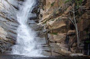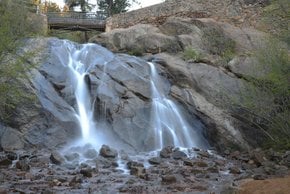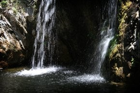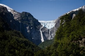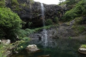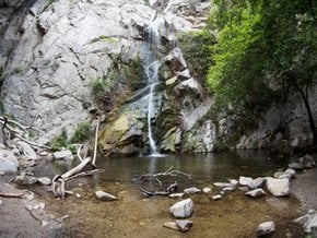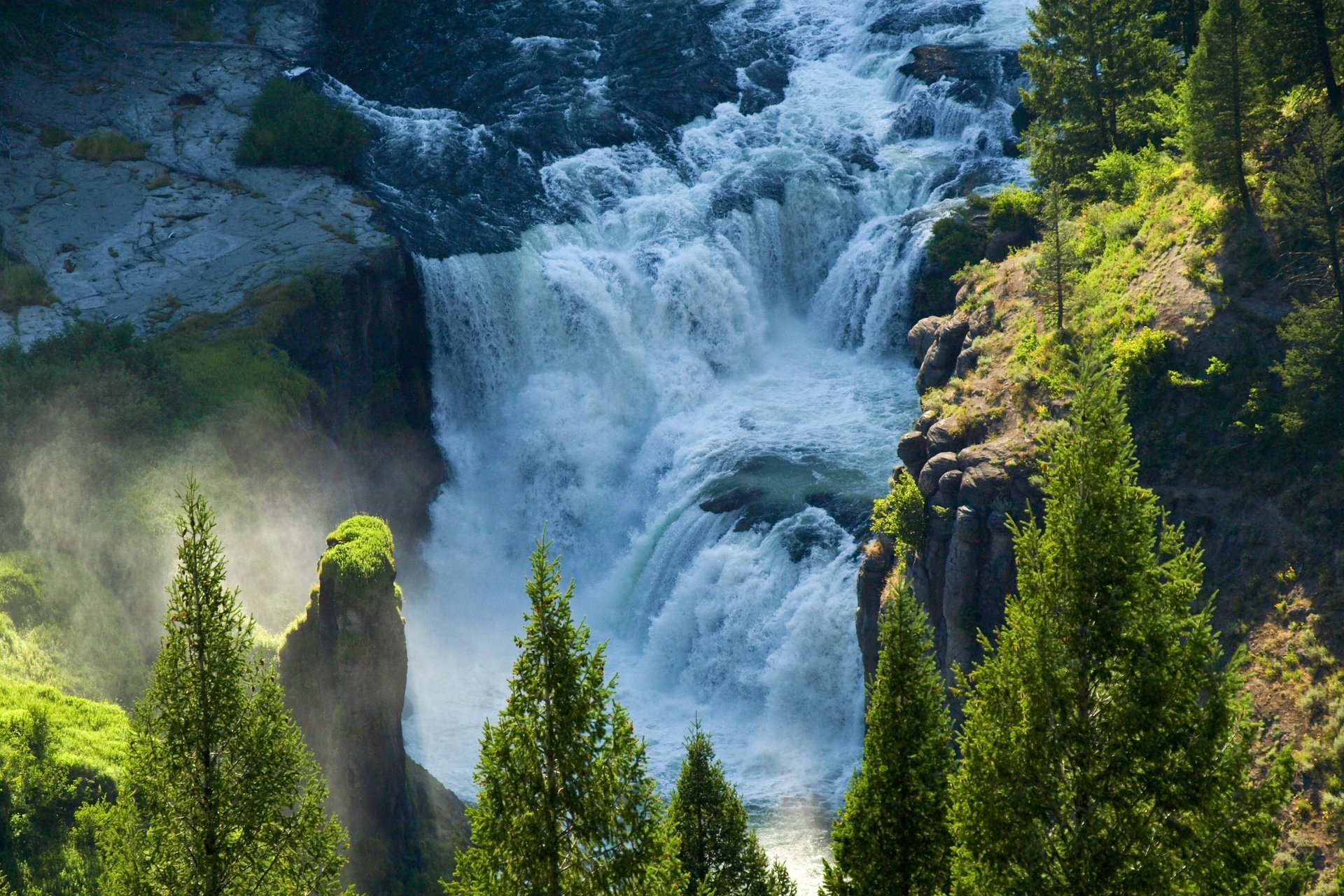
The breathtaking Upper and Lower Mesa Falls are the major waterfalls on the Snake River located in a scenic natural setting. The Mesa Falls Visitor Center operates every day in the summer and just on certain weekends in the winter. The trail to the falls is best used between May and October. In the cold season, the area is accessible only by snowmobile or skis.
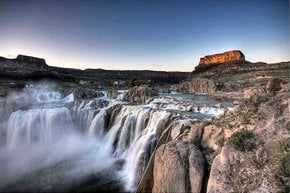
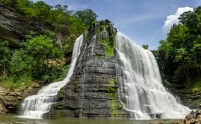
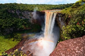
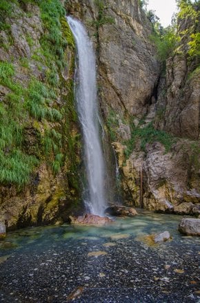
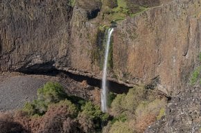
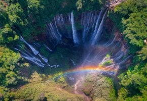
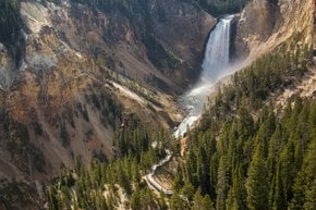
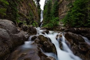
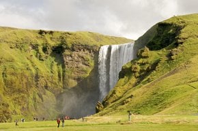
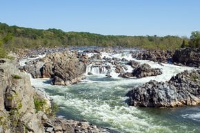
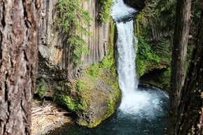
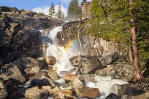
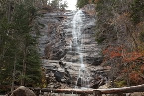
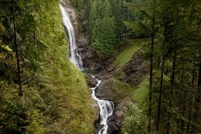
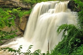
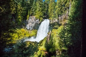
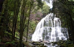
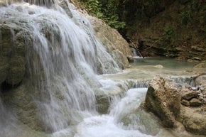
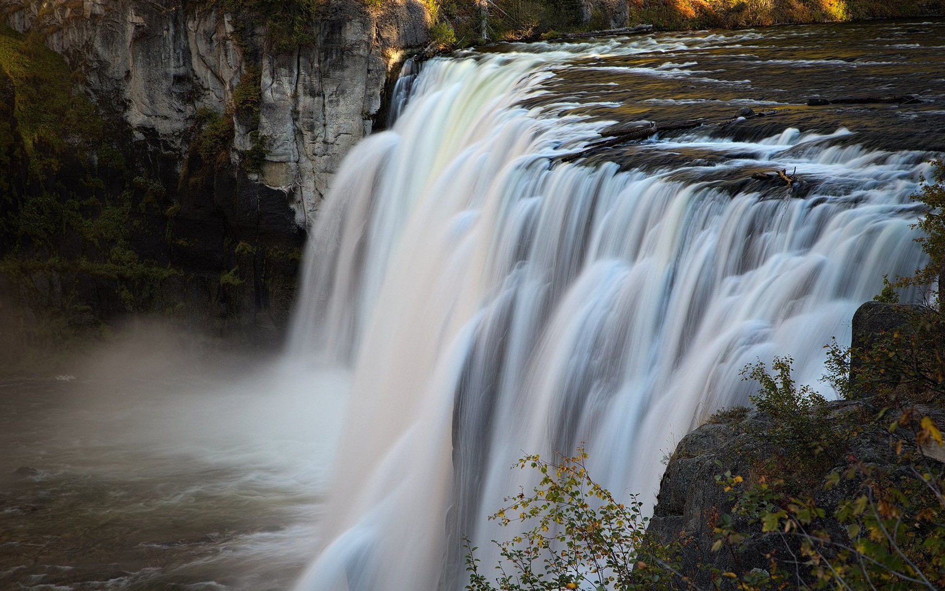
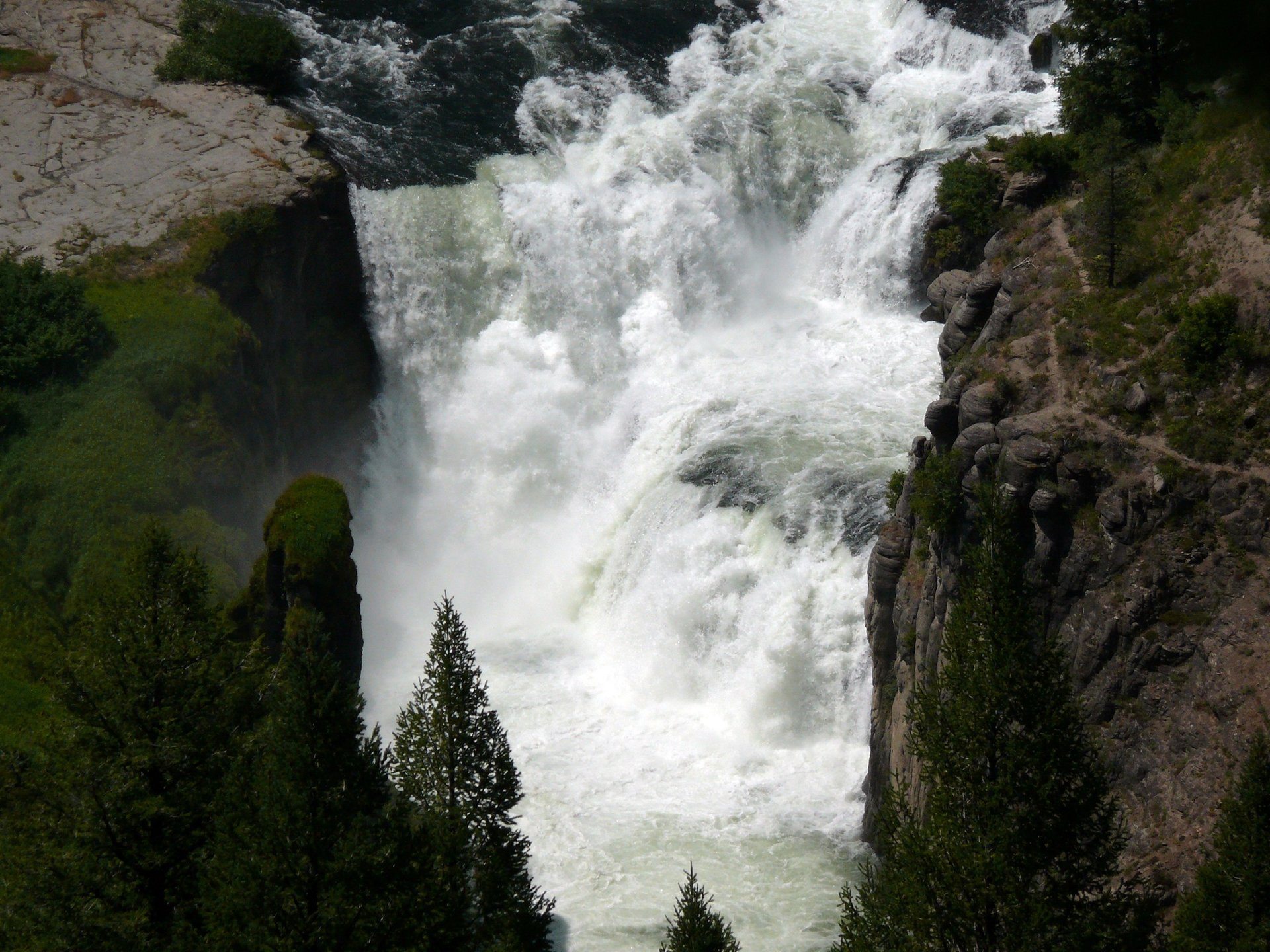
Mesa Falls is located along the Henrys Fork River in the Grand Targhee Forest, near Ashton, Idaho. The mighty curtain of water falls on remnants of a volcanic super-eruption that happened over a million years ago. The Upper Falls, 120 ft (37 m) are among most photographed sites in Idaho. Visitors can see beautiful rainbows on sunny days between morning and noon. The Lower Falls, 114 ft (35 m), produce a series of giant rapids. Since they are located deeper into the canyon, you will get the best view by looking down on top of them.
The falls are located on the way to West Yellowstone entrance from Idaho on Highway 20. In Ashton, turn east onto Hwy 47 and ride for about 15 miles (24 kilometers) through the Grand Targhee Forest.
Practical info
When is the best time to visit Mesa Falls?
It is advisable to plan a visit to Mesa Falls from May to October. The area is accessible only by snowmobile or skis during the winter months. While the Mesa Falls Visitor Center operates every day in summers, its operations are limited to specific weekends in the winter season. Show more
Where is Mesa Falls located?
Mesa Falls is situated on the Snake River in the Grand Targhee Forest, near Ashton, Idaho. The fall can be found while traveling towards the West Yellowstone entrance from Idaho on Highway 20. Take the east turn onto Hwy 47 from Ashton and travel for about 15 miles through the Grand Targhee Forest to reach there. Show more
What is the distance of the falls from the nearest town?
Mesa Falls is about 15 miles (24 kilometers) from Ashton, the nearest town. To reach the fall, travel on highway 47 through the Grand Targhee Forest. Note that the route closes for winter, and the area is approachable only through snowmobiles or skis. Show more
How high are the Upper and Lower Mesa Falls?
The Upper Mesa Falls, located closer to the entrance, has an altitude of 120ft (37m). The Lower Mesa Falls, situated deeper into the canyon, is 114ft (35m) high. Although the Upper Mesa Falls is an iconic spot and is one of the most photographed sites in Idaho, the Lower Falls create a series of giant rapids and can be best viewed from the top. Show more
What is the unique feature of the rainbows viewed at Mesa Falls?
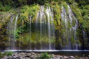
Mesa Falls offers an opportunity to gaze at beautiful rainbows throughout mornings and until noon on sunny days at the Upper Mesa Falls. The mist caused by the fall makes it possible to witness a full circle of the rainbow under specific lighting conditions. Not to mention, this is a unique feature and a once-in-a-lifetime photography opportunity that makes Upper Mesa Falls a must-visit attraction in Idaho. Show more