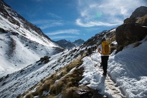
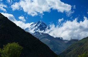
Best time to visit China

Climbing Kongur Tagh in China

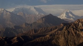
The highest peak of the Pamirs and the Kunlun Range. Until the 20th century, this grand mountain was hidden among its similarly huge neighbours, and it was first conquered only in the 80s

Best time: June–September

Climbing Kongur Tagh

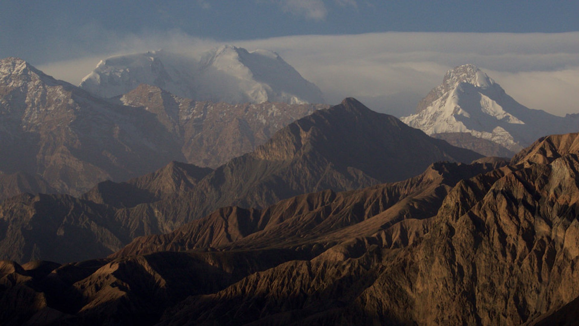
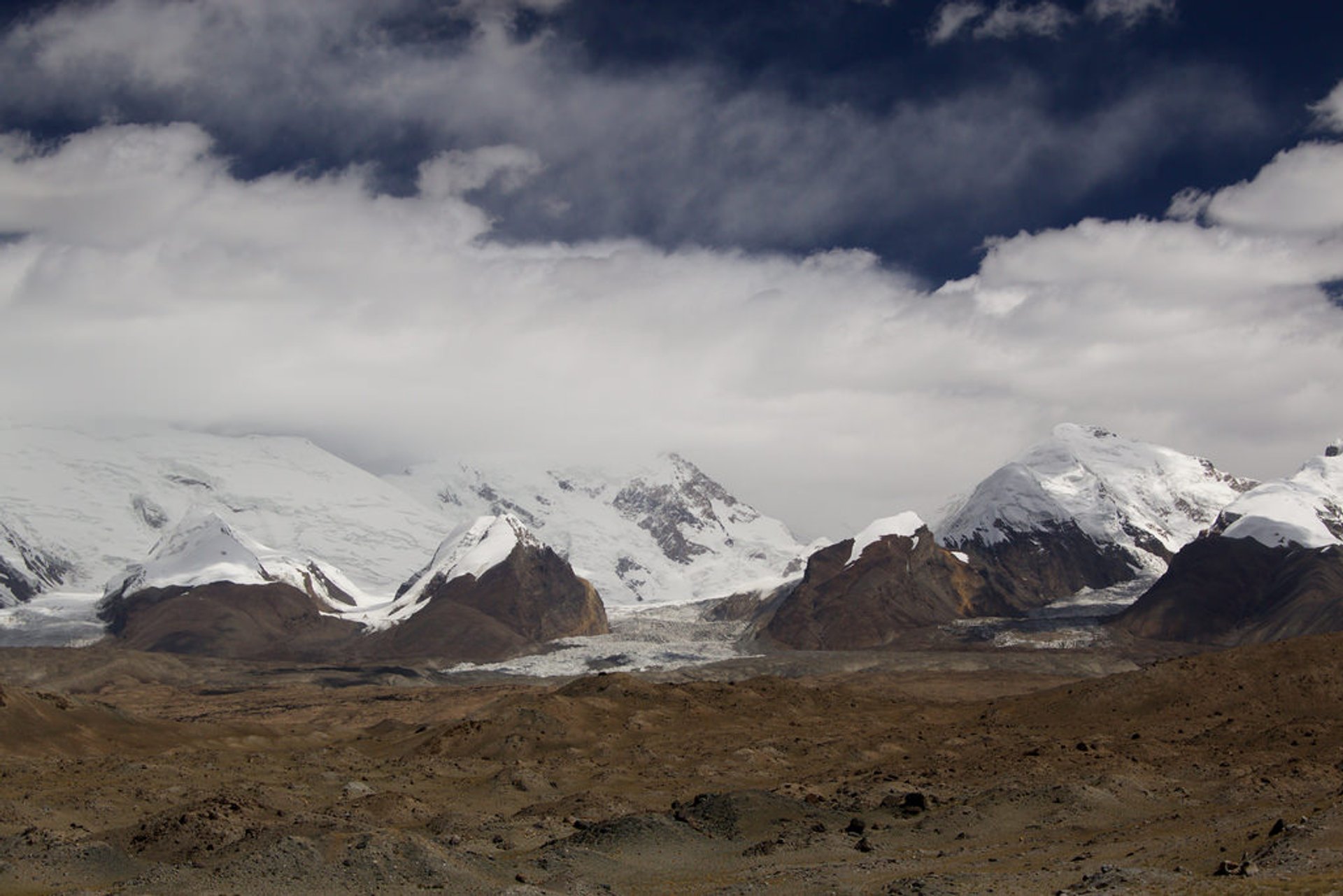
In spite of its impressive prominence of 7,649 m, the mountain has been hidden among almost equally high surrounding peaks. It was first discovered by the Europeans in 1900. The first attempt to ascend the peak in 1956 wasn't meant to be successful—the party realised they had largely underestimated the mount and simply abandoned the climb. The first successful ascent was accomplished by a British expedition only in 1981.

Kongur Tagh is generally acknowledged as the highest peak of Pamir Mountain Range. Yarkand River valley separates Eastern Pamirs from the Kunlun Mountains. All the same, some authorities classify Kongur Tagh peak as the top summit of the Kunlun Range. A win-win reference seems to be the highest peak of the entire Xinjiang Uyghur Autonomous Region.

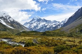
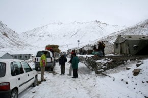
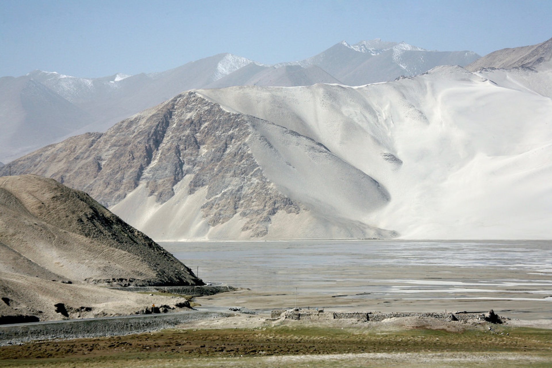
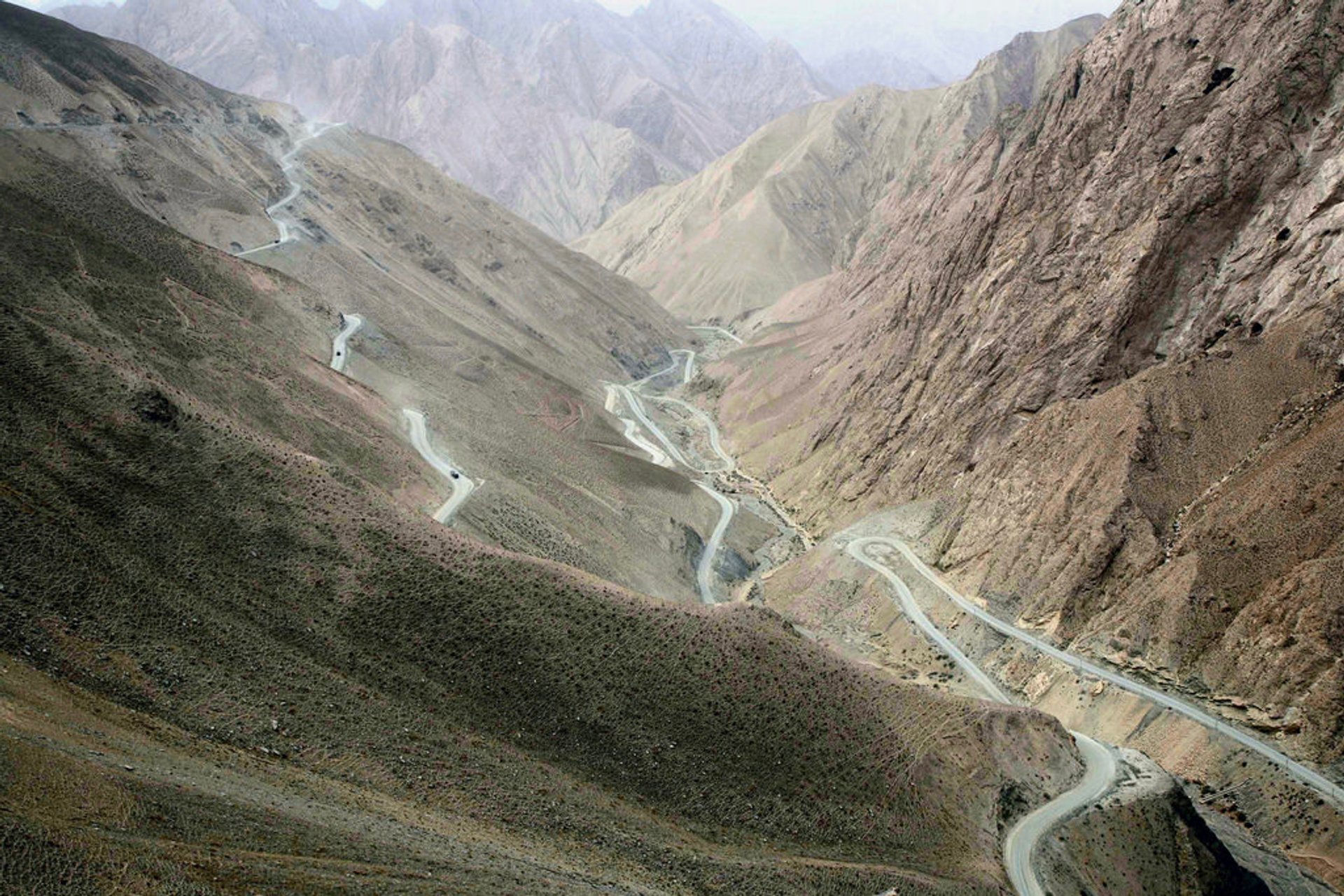
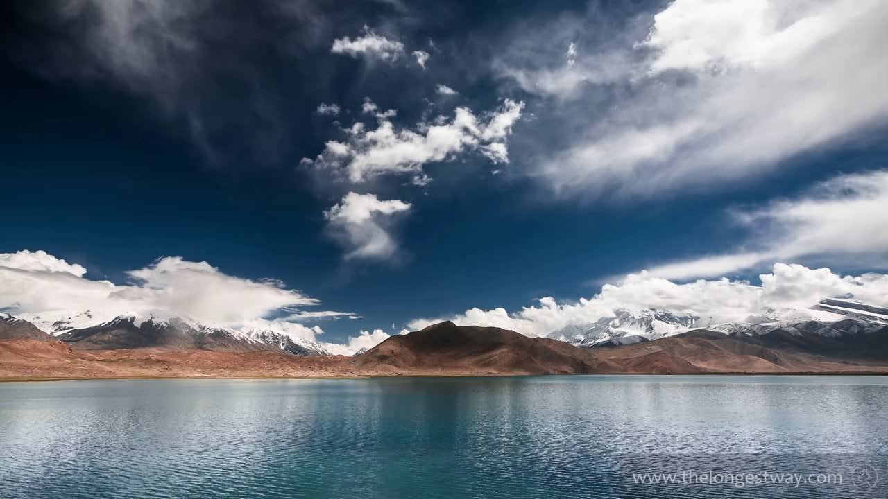
Thanks to the Karakoram Highway that unites Pakistan and China, the access to the mountain is much easier nowadays than it used to be. Some of the best shots of magnificent mountains may be taken near Tashkurgan and Karakul Lake even without ascending the mountains. For those who have higher ambitions, the best season for hiking Kongur Tagh is considered summertime—from June to September.

Practical info

When is the ideal season to visit Kongur Tagh?

From June to September or during summer, is the perfect time to explore Kongur Tagh. These months offer warm weather with minimal precipitation, making them suitable for outdoor activities and hiking. Moreover, visitors can witness the magnificent view of the mountain and capture some great shots at Tashkurgan and Karakul Lake. Show more

How was Kongur Tagh discovered by Europeans, and during which period?

The Europeans found Kongur Tagh hidden among the surrounding peaks in 1900. Despite this, the first successful expedition took place in the 80s carried out by a British team. Due to underestimated height, another team abandoned the first attempt to climb the peak in 1956. Kongur Tagh is now one of the highest summits in both the Pamirs and Kunlun Range. Show more

Is Kongur Tagh identified as the highest peak in the Kunlun Range or the Pamir Range?

Primarily, Kongur Tagh is known as Pamir Mountain Range's highest peak, but some authorities classify it as a top summit of Kunlun Range. It is still regarded as a magnificent mountain within the Xinjiang Uyghur Autonomous Region, regardless of classification. The breathtaking peak is perfect for outdoor enthusiasts and hikers, providing them with stunning scenery and a fulfilling experience. Show more

Apart from Kongur Tagh, what other nearby attractions should visitors check out?

Visit the county of Tashkurgan, located in China's westernmost part, bordering Tajikistan and Pakistan, to explore other attractions near Kongur Tagh. Visitors can take the Karakoram Highway, which provides quick and easy access to the mountain. The scenic route offers opportunities to capture stunning pictures of the breathtaking landscapes, mountains, and more. Show more

What beginner-friendly trekking routes are available in the region?

Hikers and beginners who seek thrilling adventures should choose from several recommended trekking routes, such as the Muztagh Ata Base Camp and Karakul Lake trekking. Though these treks are relatively undemanding and provide stunning views of the glaciers and mountains in the region, trekkers still need to maintain fitness levels and avoid altitude sickness due to the region's altitude. Show more

Ask a question

Find hotels and airbnbs near Climbing Kongur Tagh (Map)

Last updated: