Best time to visit France

Col de la Bonette in France

Ride along one of the highest roads in Europe nestled in the French Alps

Best time: July–October

Col de la Bonette
Col de la Bonette
Col de la Bonette
Col de la Bonette

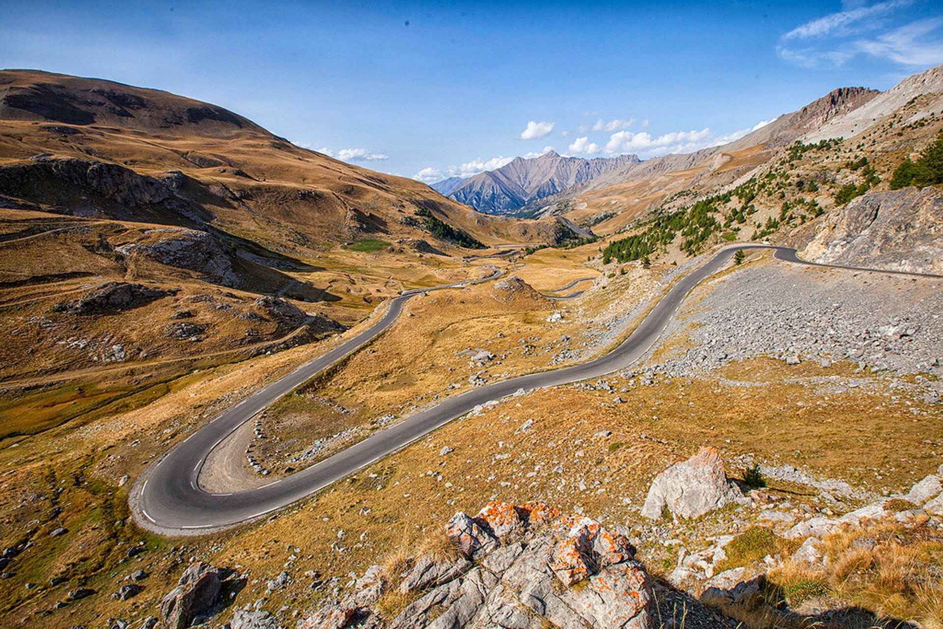
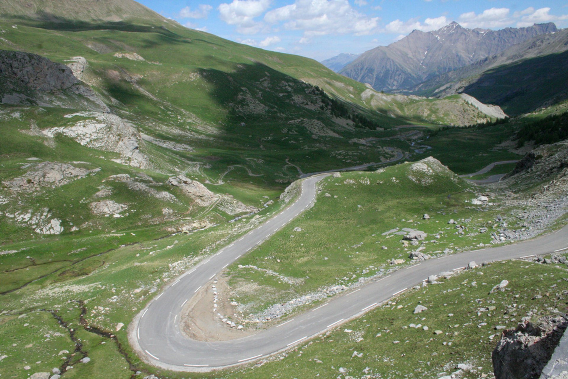
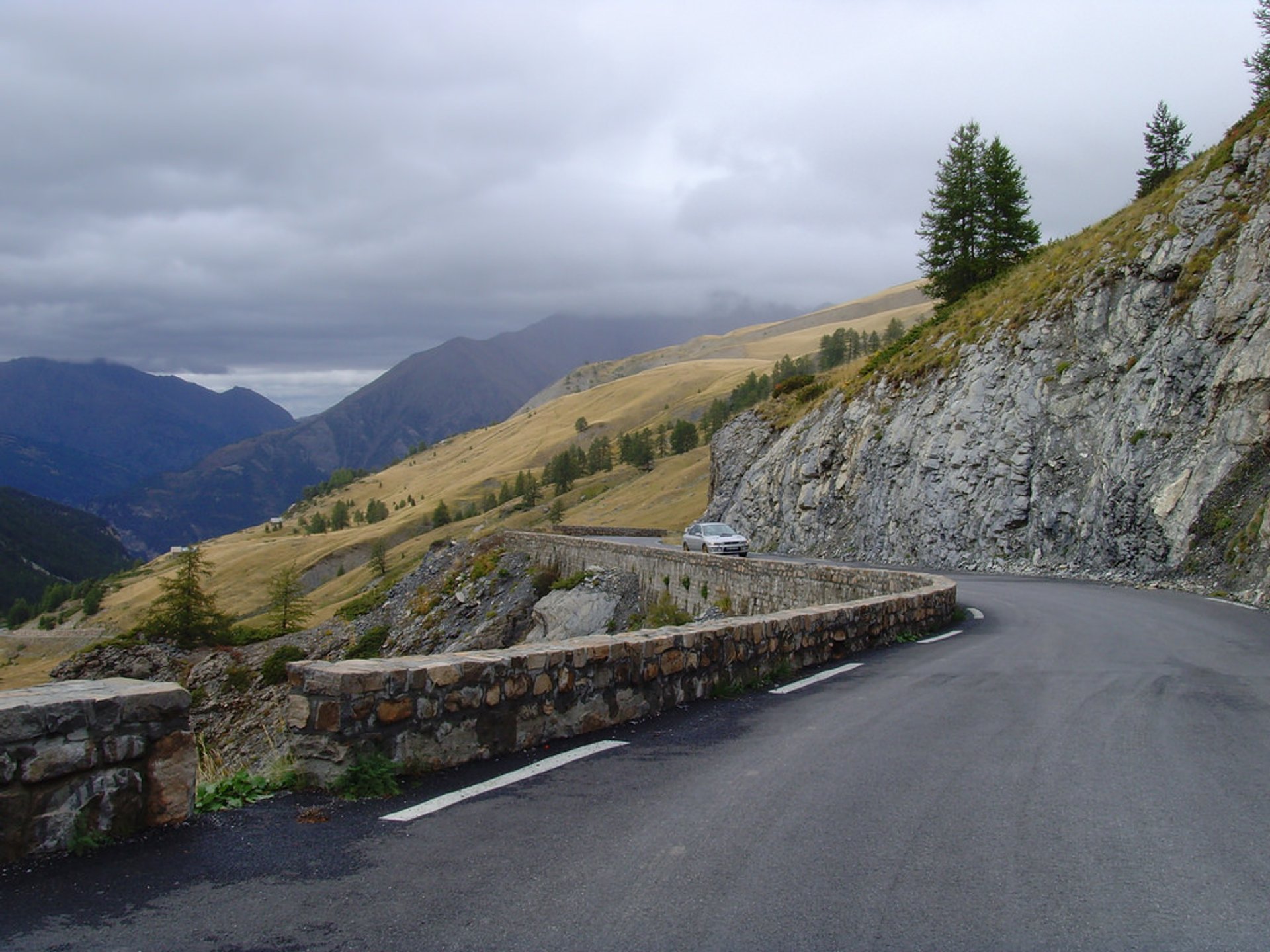
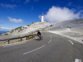
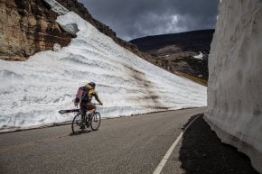
Col de la Bonette is one of the iconic mountain passes in the French Alps, featured in the Tour de France cycling race. With an elevation of 2,715 m (8,907 ft) above the sea level, Col de la Bonette is located near the border with Italy within the Mercantour National Park. It marks the border between departments of Alpes-Maritimes and Alpes-de-Haute-Provence. The road over the pass, which is ranked as seventh highest in the Alps, is open only from July to October, depending on weather conditions.

The road was built in 1961 as a part of the highway connecting Nice to Briançon. The original dirt road existed since the 1860s, but the final route by the summit of the Bonette was constructed in 1960-1961.

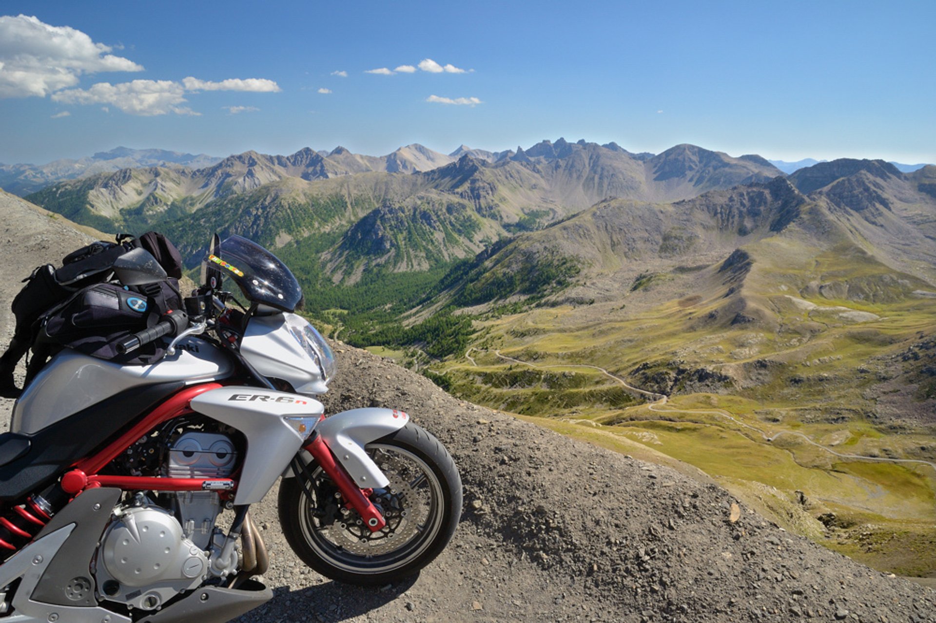
The climb to the Col de la Bonette is not that steep, around 8-10%. It begins quite easily but turns more challenging towards the end. The Route des Grandes Alpes crosses the scenic pass. There are two ways to reach the summit. Via a 24-km route from Jausiers with 1,589 m of elevation gain, or a 26-km route from Saint-Étienne-de-Tinée with 1,652 m of elevation gain. When on top, visitors can take a 2-km long scenic loop around the Cime de la Bonette Peak, 2,802 m (9,193 ft), which is the highest paved road in France.

The pass attracts many cyclists thanks to its exposure during Tour de France in 1962, 1964, 1993 and 2008. Cycling markers are placed at every kilometer on both sides of the mountain road, indicating height, the distance from the start, and the distance to the summit.

Practical info

When is the best time to explore Col de la Bonette?

The ideal period to explore Col de la Bonette is from July until October since the road is often closed depending on the climatic conditions. During winter, the pass is inaccessible due to heavy snowfall, making it unfavorable for tourists. Show more

Where is Col de la Bonette situated within the French Alps?

Located in the French Alps bordering Italy, Col de la Bonette is between Alpes-Maritimes and Alpes-de-Haute-Provence. Additionally, this area's natural reserve is the Mercantour National Park, attracting tourists frequently. Show more

What is the steepness of the climb to Col de la Bonette?

The steepness of the ascent to Col de la Bonette differs according to the origin. The climb features an elevation gain of 1,652 m from Saint-Étienne-de-Tinée and 1,589 m from Jausiers. The gradient on average is 8-10% along the 24-kilometer climb from Jausiers or the 26-kilometer journey from Saint-Étienne-de-Tinée. Show more

What is the background of the Col de la Bonette road?

Constructed in 1960 and inaugurated a year later, the Col de la Bonette road was originally a dirt path built in the 1860s. The road is well-known for its steep ascent and was a part of the Tour de France cycling race in 1962, 1964, 1993, and 2008. Show more

What is the composition of the highest paved road on top of Cime de la Bonette Peak?

The highest paved road on Cime de la Bonette Peak is composed of a scenic 2-kilometer road that loops around at 2,802 m (9,193 ft) elevation. The narrow road itself has few turns, with signposts at every kilometer, making it incredibly easy to navigate for visitors. Moreover, visitors who embark on this journey will be astounded at the stunning panoramic views of the French Alps. Show more

Ask a question

Find hotels and airbnbs near Col de la Bonette (Map)

Last updated: