Best time to visit California

Lassen Peak Trail in California

Stand atop an active volcano with the largest lava dome on Earth

Best time: mid-June–September

Lassen Peak Trail
Lassen Peak Trail
Lassen Peak Trail
Lassen Peak Trail
Lassen Peak Trail
Lassen Peak Trail

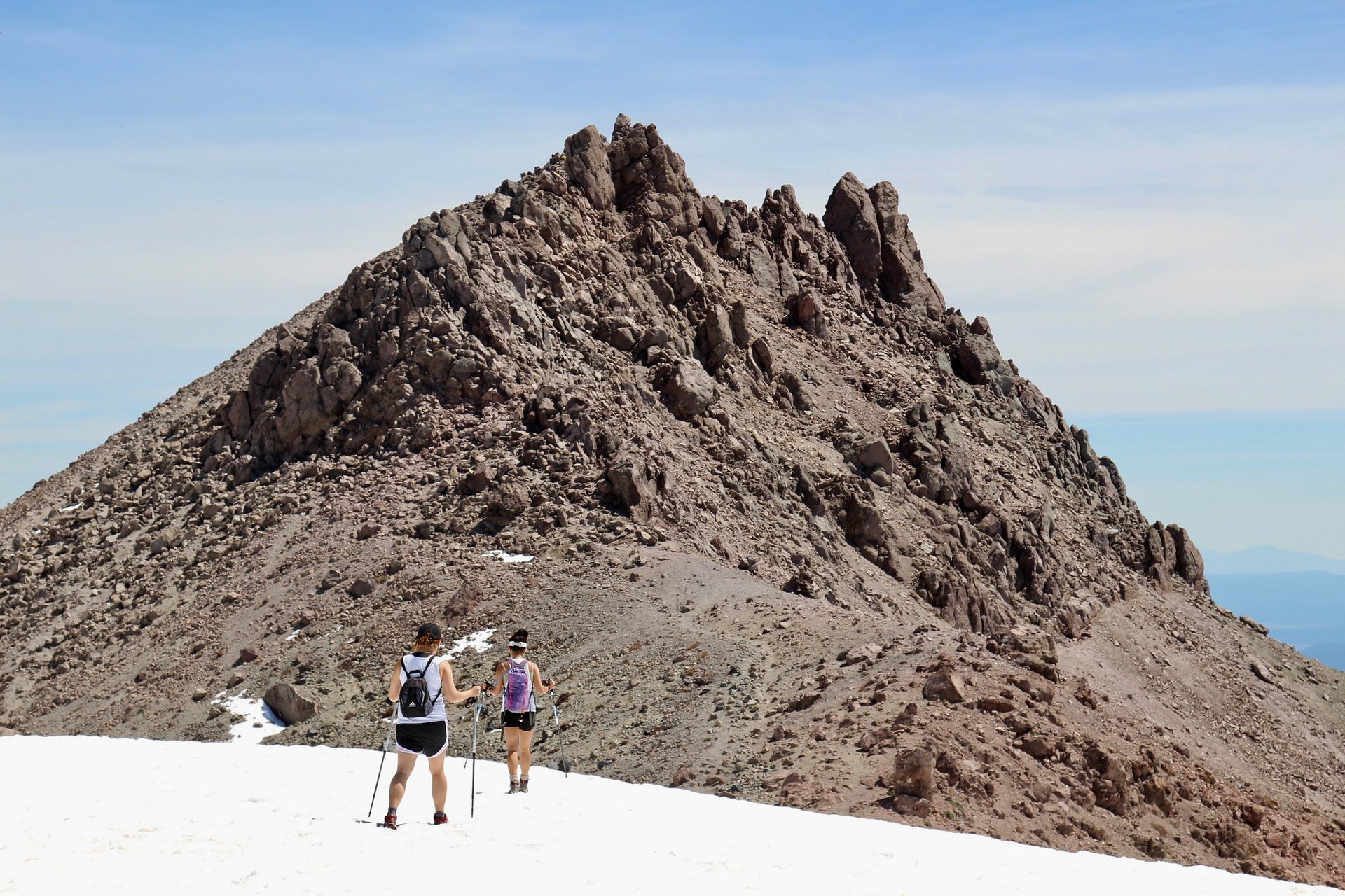
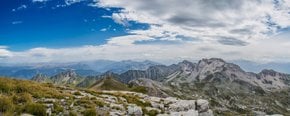
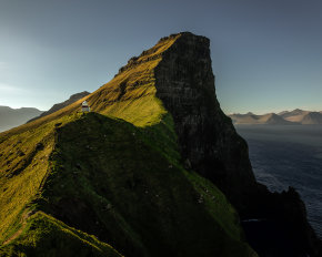
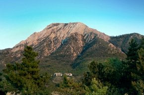
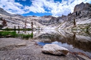
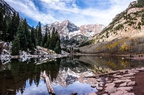
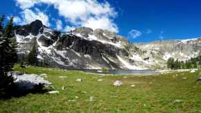
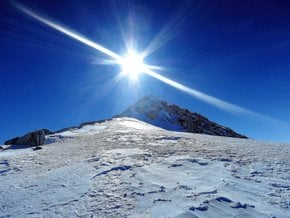
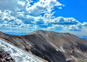
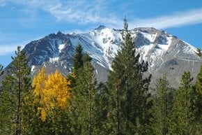
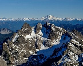
Lassen Peak, also called Mount Lassen, is an active volcano in within the Lassen Volcanic National Park in the Southern Cascade Range, located in the Shasta Cascade region of Northern California. The peak belongs to the so-called Cascade Volcanic Arc, which stretches from British Columbia to California. Towering above the Sacramento Valley, Lassen Peak has an elevation of 3,187 m (10,457 ft). It has a prominent lava dome with a volume of 2.5 cubic km (0.6 cubic mi), the largest on the planet.

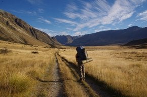
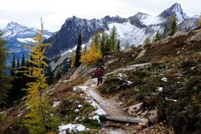
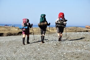
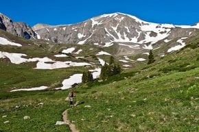
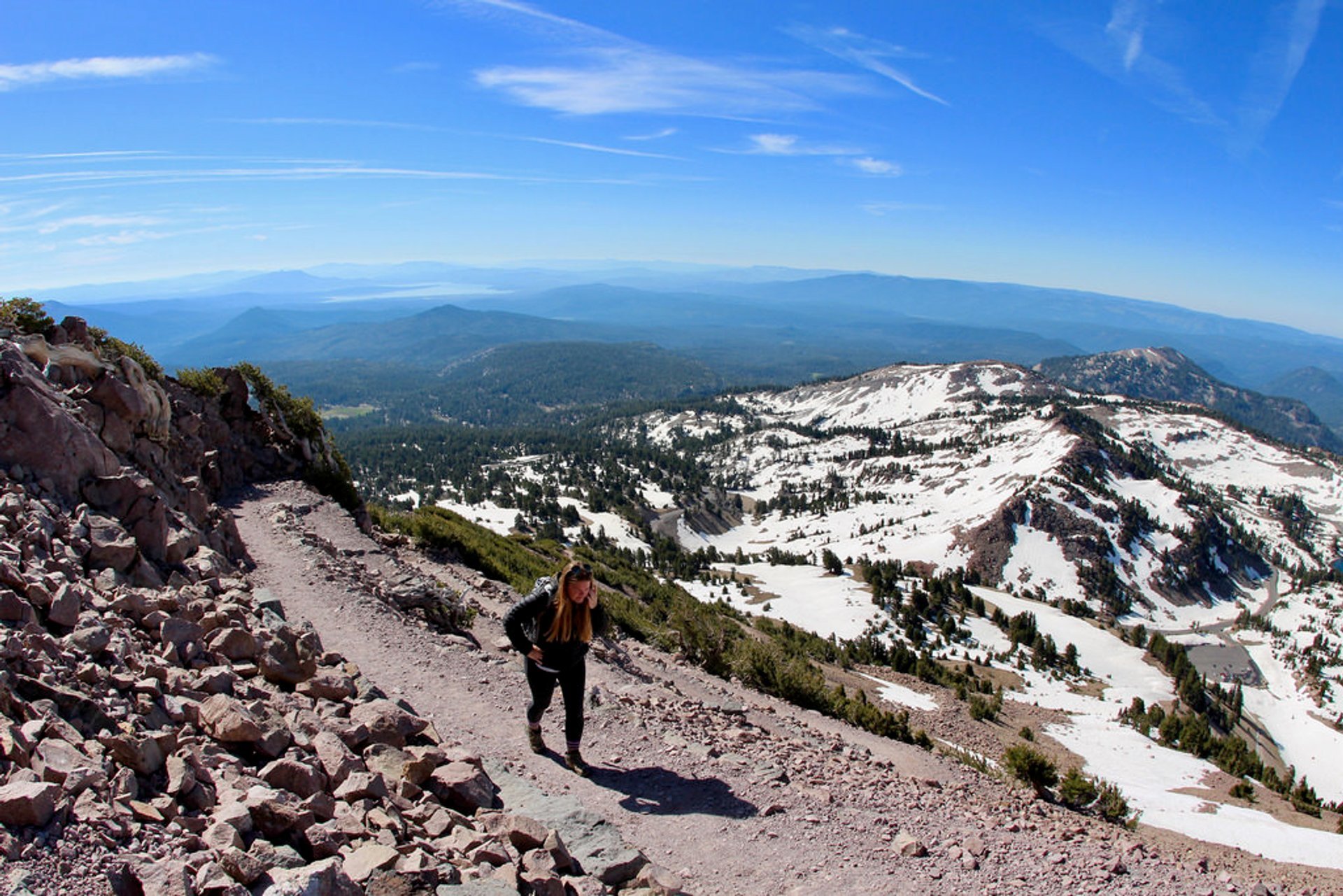
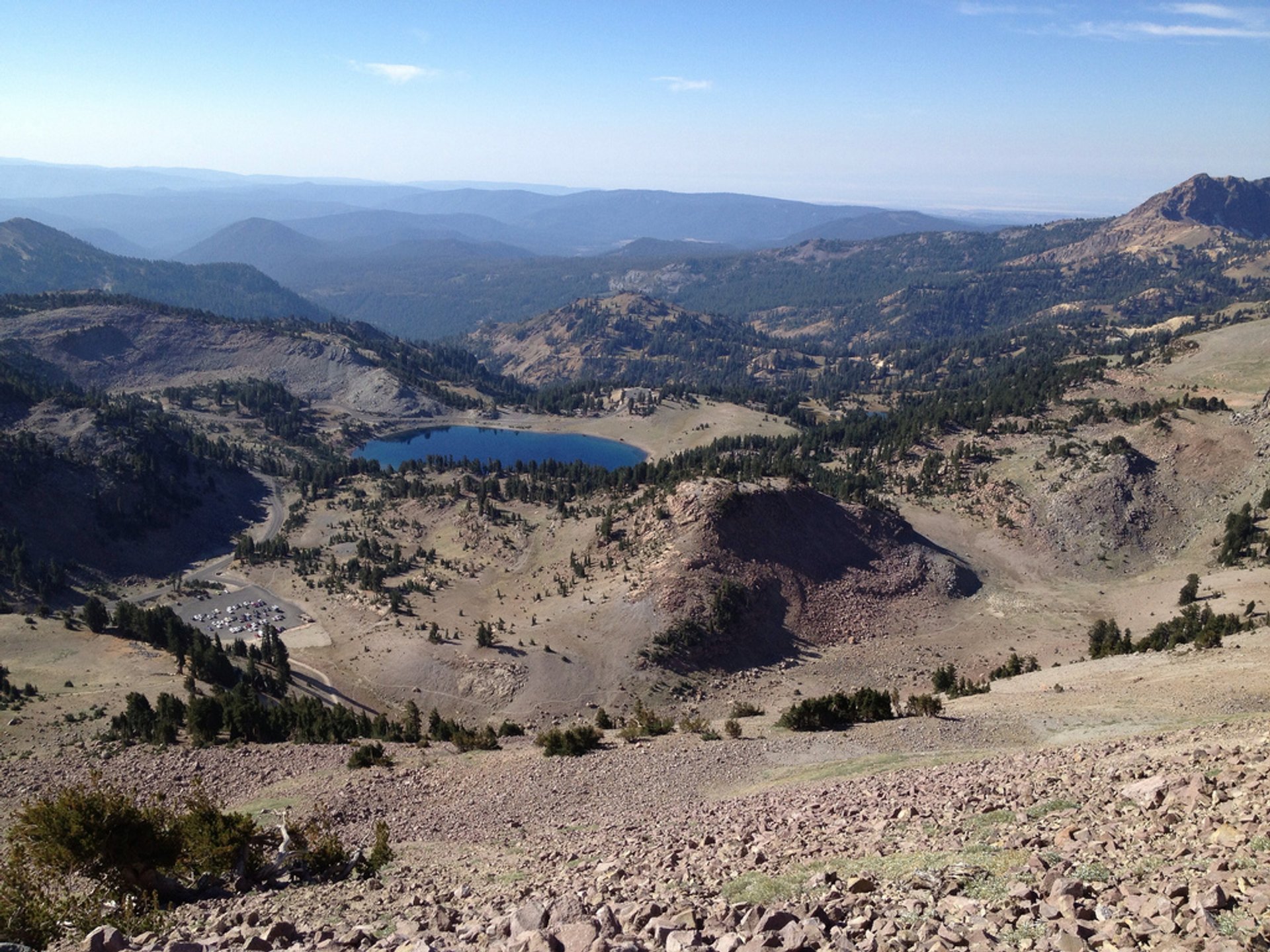
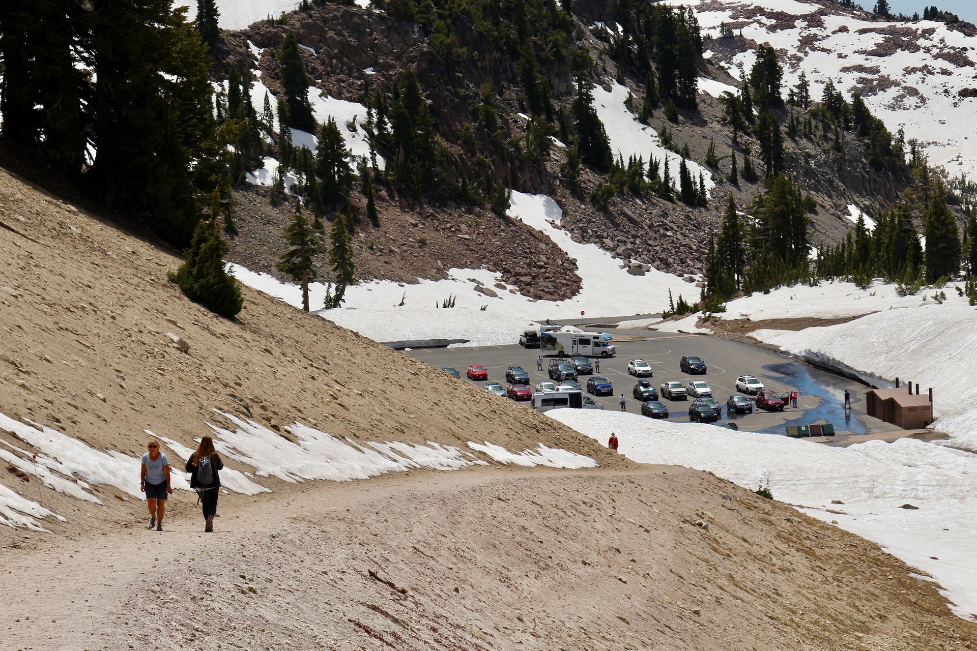
Lassen Peak can be reached by a 4-km (2.5-mi) trail that starts at the parking lot on the northern side of the California State Route 89 not far from Old Station, California. The trail has moderate traffic and is rated as difficult. Due to heavy snowfalls in winter and spring, the path is best to be used from mid-June until September.

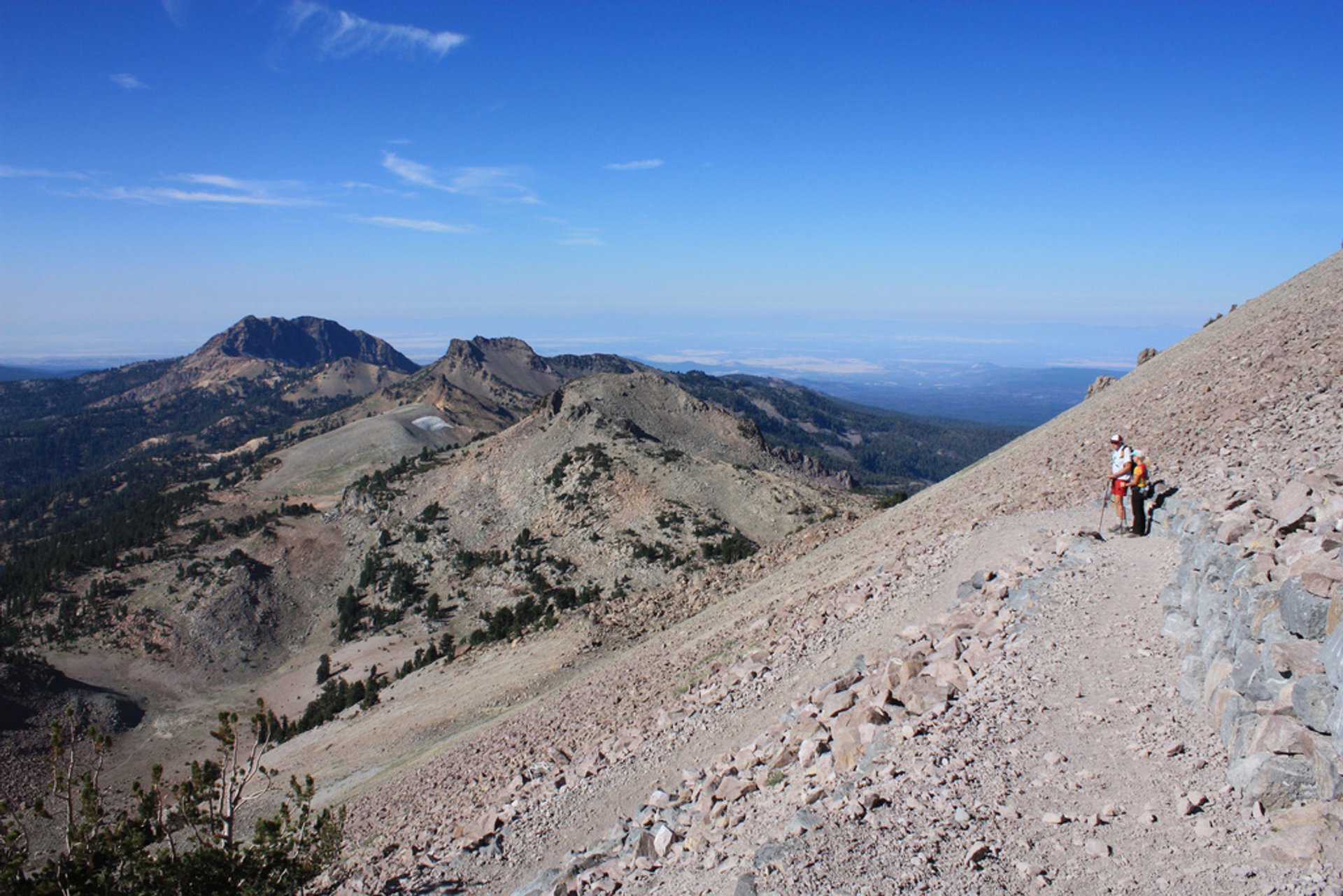
The trail head is located near the parking lot of the Lassen National Park, by the shores of Lake Helen, opening an impressive view of the mountain. The ascent to the summit of Lassen Peak is steep and exhausting with 600 m (1,967 ft) of elevation gain and no place to hide from direct sunlight. But spectacular views are rewarding. It takes about 4 km (2.5 mi) to get to the top. Climbing this prominent active volcano is an experience that will be remembered for ages.

Practical info

When is the best time to hike Lassen Peak Trail?

The trail leading to Lassen Peak is typically unobstructed from mid-June after the snow melts till September. Climbing between late June and early September is highly recommended because of the favorable weather. The trail is inaccessible during other months, predominantly due to snow and ice. Understanding the current trail conditions and weather forecast is crucial before beginning the journey. Show more

Where is Lassen Peak located?

Situated precisely in the Shasta Cascade vicinity of North California is Lassen Peak, held firmly within the Lassen Volcanic National Park. The park is a short 50 miles east of Redding, California, and 120 miles north of Sacramento, California's state capital. The trailhead portion of the hike starts from the northern parking lot found off California State Route 89 and spans 4 kilometers or 2.5 miles. Show more

How long is the Lassen Peak Trail?

Hiking Lassen Peak Trail is rated as a demanding feat due to its steepness and exposure to direct sunlight. The trail has a 600-meter elevation gain covering a distance of 4 kilometers or 2.5 miles. Hikers are recommended to be ready for strenuous sections since there are no shaded parts. On average, hikers complete the round trip in roughly 4-6 hours. Show more

Are there any shaded areas on the Lassen Peak Trail?

Direct sunlight and elevated temperatures typify the climatic conditions on Lassen Peak Trail, with no shaded portions to rest. Hikers must carry lightweight clothes that are breathable, water, sunscreen, and hats to protect themselves against the elements. Hikers should be cautious in the summer months to avoid the hottest periods of the day and regularly rehydrate during breaks to ensure an enjoyable hike. Show more

What is the difficulty level of the Lassen Peak Trail?

Lassen Peak Trail is uneven, steep terrain with no shaded areas, making it rated as difficult. The hike has an elevation gain of 600 meters (1,967 feet), which may be difficult for some hikers. Typical round-trip time is 4-6 hours. Hikers should be physically fit and have the proper equipment before they begin their hike. Show more

Ask a question

Find hotels and airbnbs near Lassen Peak Trail (Map)

Last updated: by Eleonora Provozin