Best time to visit Colorado

Decalibron Loop in Colorado

Hike four epic Colorado mountains at once

Best time: May–October (the area is currently closed)

Decalibron Loop
Decalibron Loop
Decalibron Loop
Decalibron Loop
Decalibron Loop

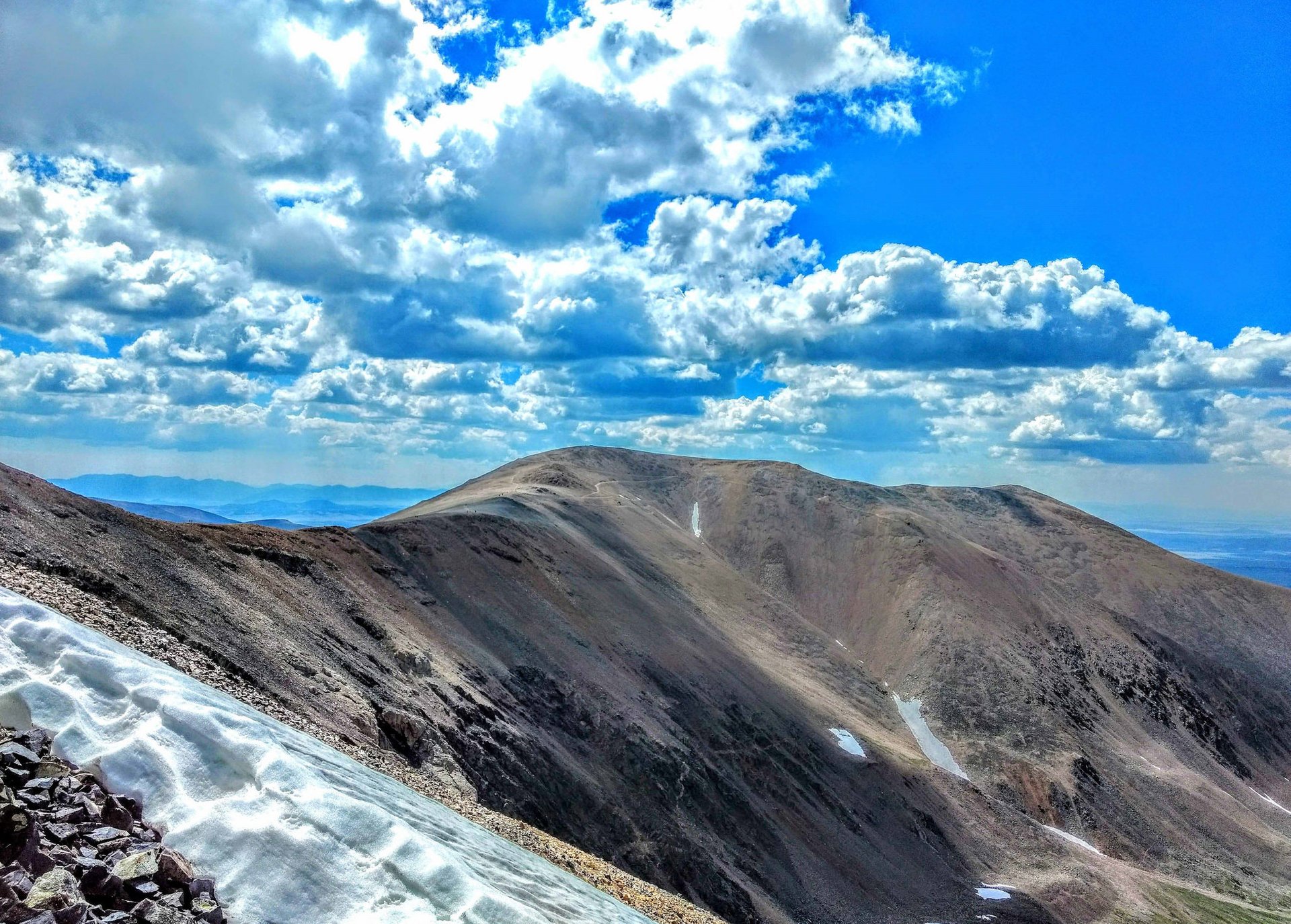
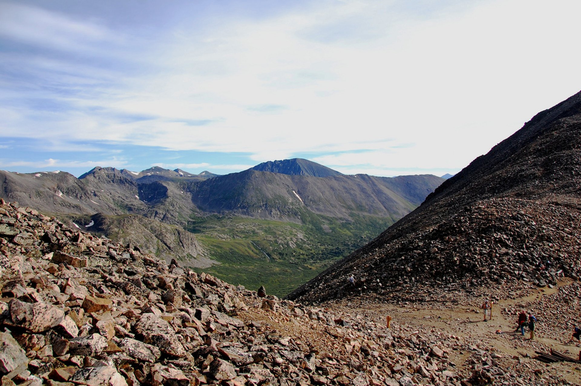
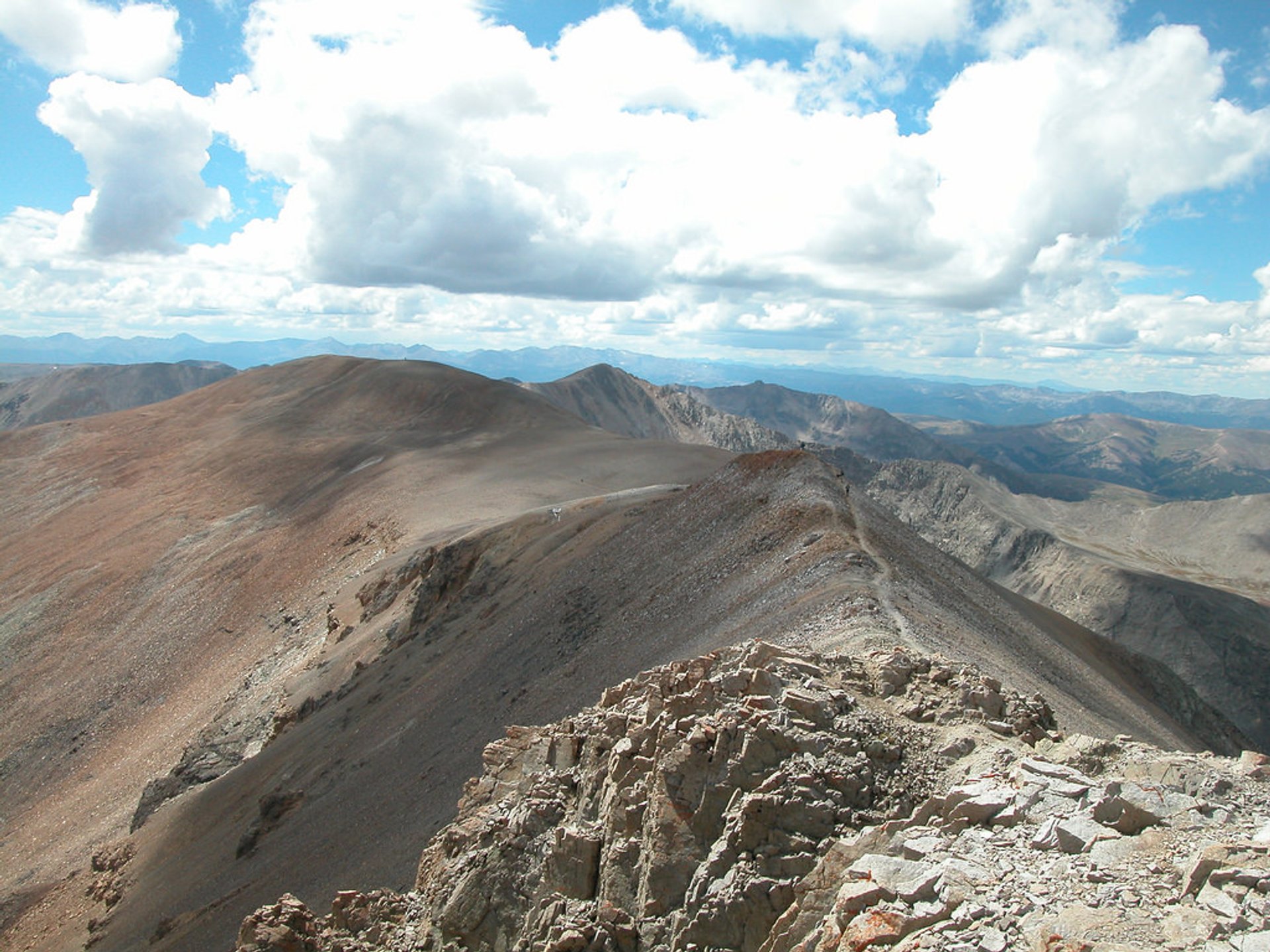
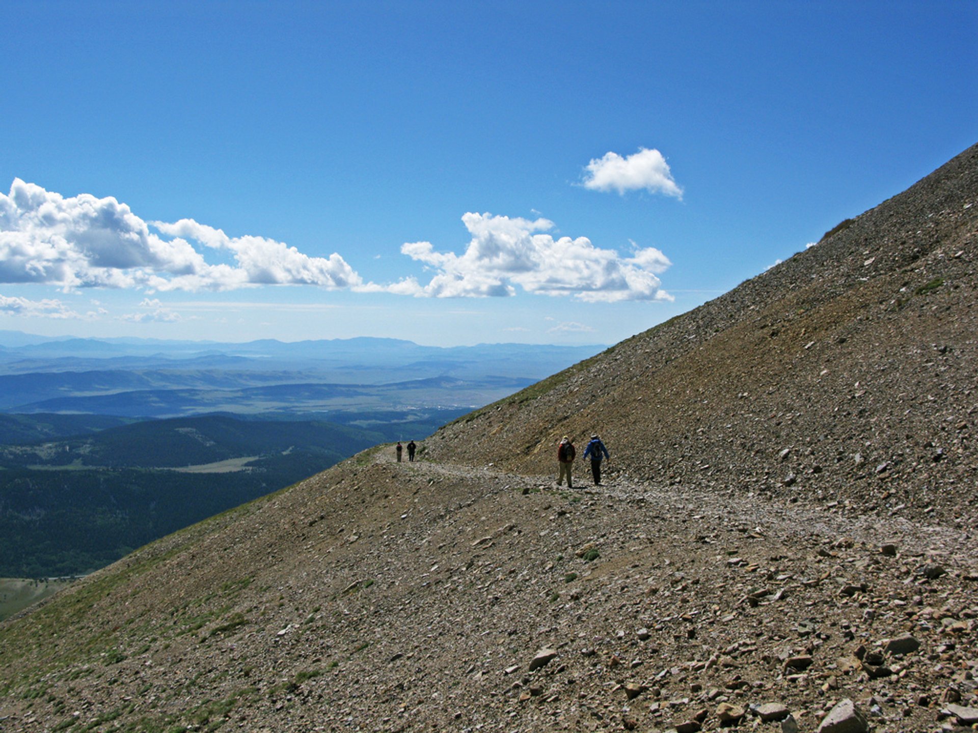
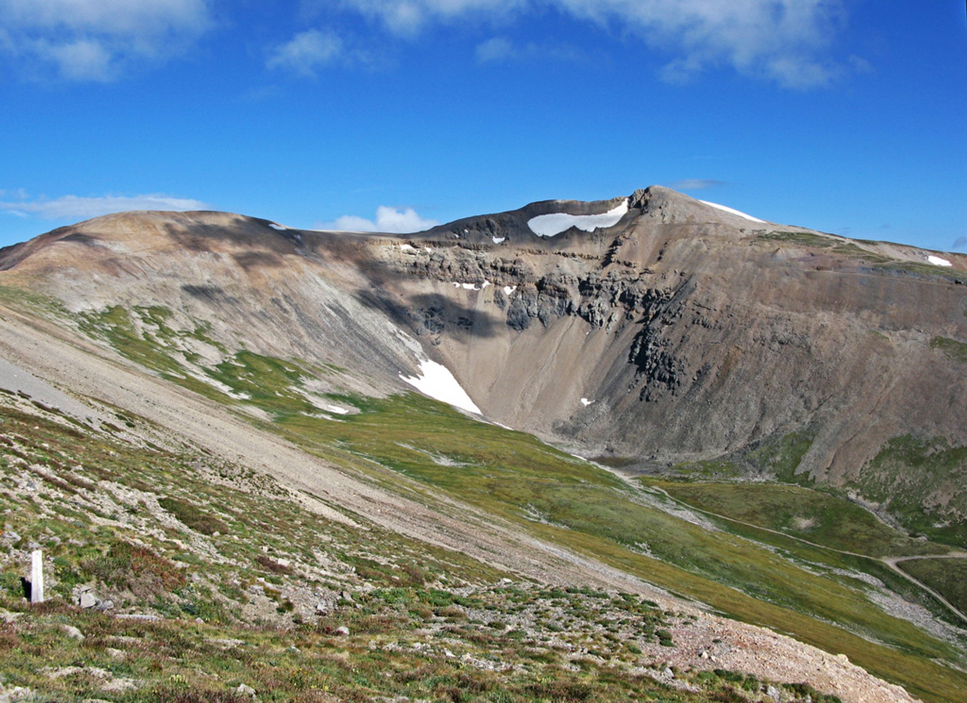
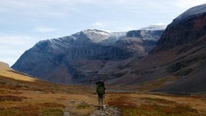
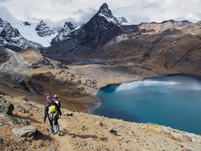
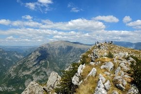
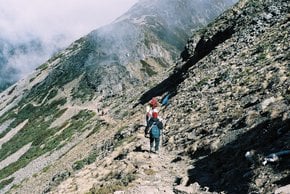
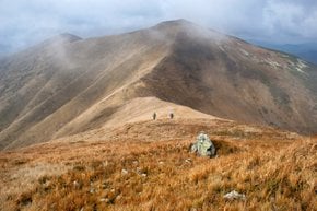
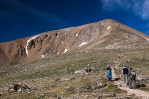
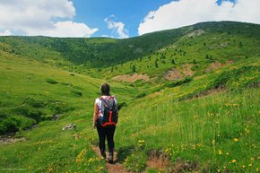
The Decalibron got its peculiar name since it covers four Colorado's 14ers: Mt. Democrat, Mt. Lincoln, Mt. Cameron, and Mt. Bross. Most of the hike is above the elevation of 13,500 ft (4,114 m), however other than that, the trail is not too difficult and incredibly scenic. The 7.5-mi (12-km) loop is located near Alma, Colorado, and even features a lake. The best season to go up there is from May until October.

The hike begins at the Kite Lake trail head, which also features a camping site. First, hikers should conquer Democrat's east slope, then the trail goes down to the saddle between Democrat and Cameron. It continues up the west side of Cameron. After Cameron-Lincoln saddle, it goes up to a rocky, yet small summit called "Lincoln." From Mt. Bross summit hikers take a steep trail down to the Kite Lake trail head. The whole trail can be completed in 3-4 hours.

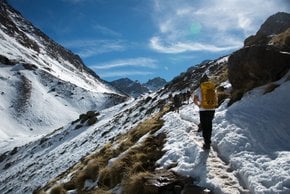
No matter when you decide to hike Decalibron Loop make sure to take some warm clothes for the evenings as it gets rather cold at high elevations.

Practical info

What is Decalibron Loop and where is it located?

The Decalibron Loop is a 7.5 mile hiking trail that covers four of Colorado's 14ers: Mt. Democrat, Mt. Lincoln, Mt. Cameron, and Mt. Bross. Based in Alma, Colorado, the trail offers scenic beauty and challenges, with most parts above the elevation of 13,500 ft (4,114 m). Show more

What are the four Colorado 14ers covered by Decalibron Loop?

Mt. Democrat, Mt. Lincoln, Mt. Cameron, and Mt. Bross are the four Colorado 14ers covered by Decalibron Loop. Reaching over 14,000 ft, each mountain poses unique challenges and attractions, ranging from the shortest, easiest-to-climb Mt. Democrat to steeply descending Mt. Bross. Show more

How difficult is the Decalibron Loop hike?

Hiking Decalibron Loop requires strenuous efforts, especially because most parts are above 13,500 ft (4,114 m) in elevation. The trail demands warm clothing, enough water, and proper gear, and takes 3-4 hours to complete. Hikers should watch out for risks associated with high elevation. Show more

What is the best time to visit the Decalibron Loop in Colorado?

May to October is the best time to visit Decalibron Loop in Colorado, thanks to the favorable weather conditions. In winter, the trail is covered by snow, resulting in cold hiking conditions, while summer comes with unpredictable thunderstorms and dangerous lightning strikes that endanger hikers. The area is closed when it's not the best season to protect people's safety. Show more

What should I wear when hiking the Decalibron Loop?

Hikers must wear warm clothing, sunscreen, and a hat to protect themselves from the sun in Decalibron Loop, where most of the trail is above 13,500 ft (4,114 m). Carrying enough water, hiking boots, hiking sticks and a first aid kit is important too. Hikers should also have a mobile device with GPS service to use it in case of emergencies like getting lost. Show more

Ask a question

Find hotels and airbnbs near Decalibron Loop (Map)

Last updated: by Eleonora Provozin