Best time to visit Colorado

Hike to Grays and Torreys Peaks in Colorado

Highly popular 14ers not far from Denver

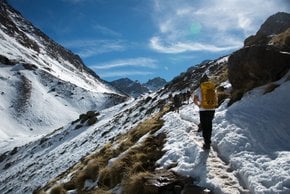
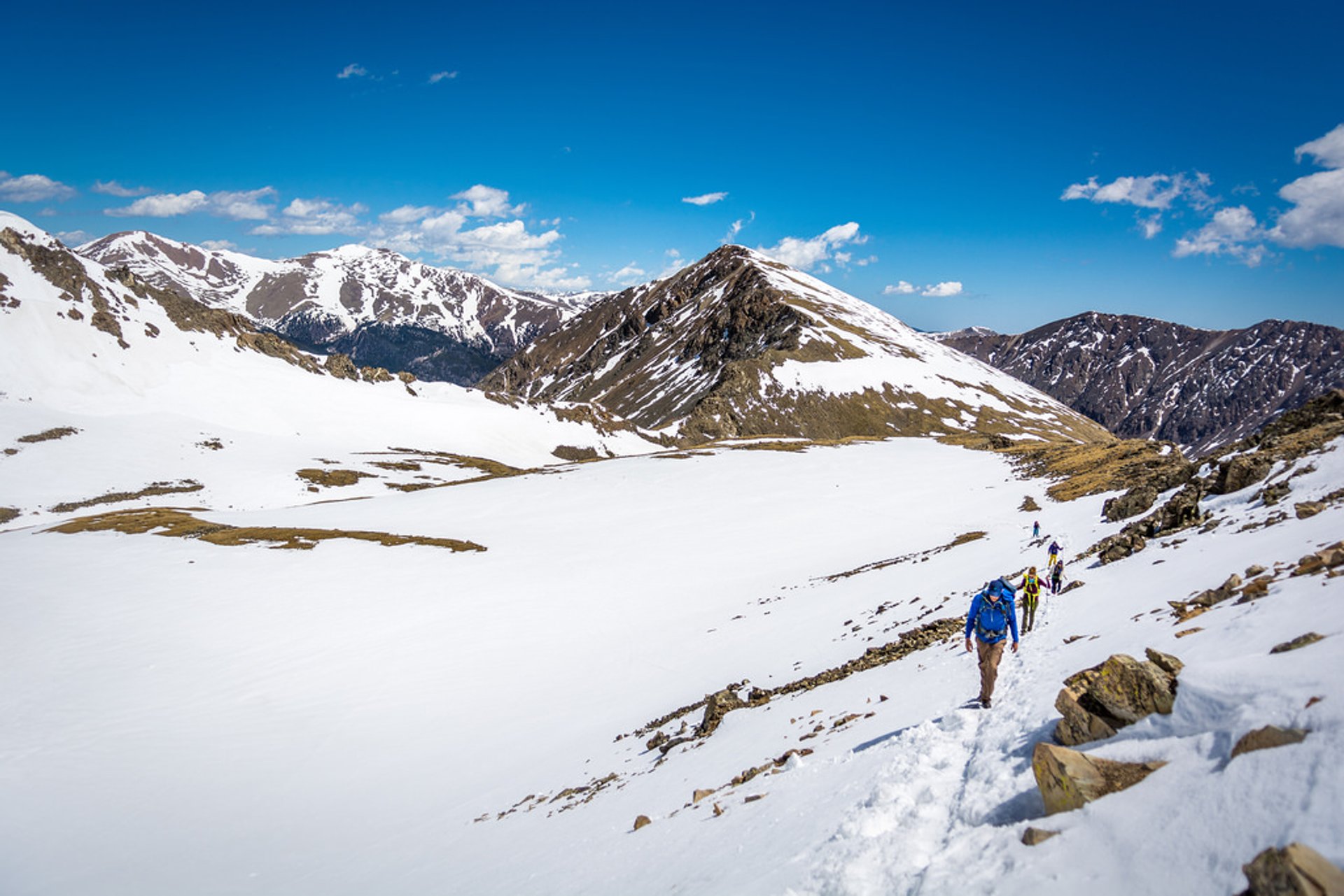
Best time: June–October

Hike to Grays and Torreys Peaks

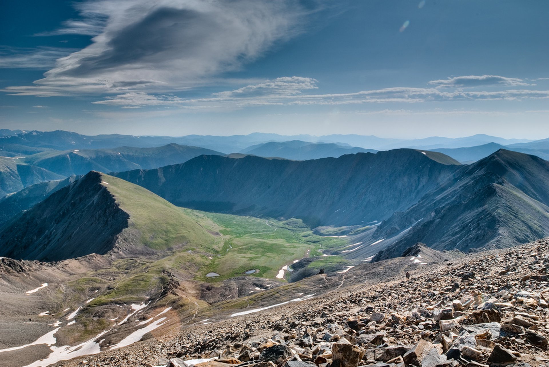
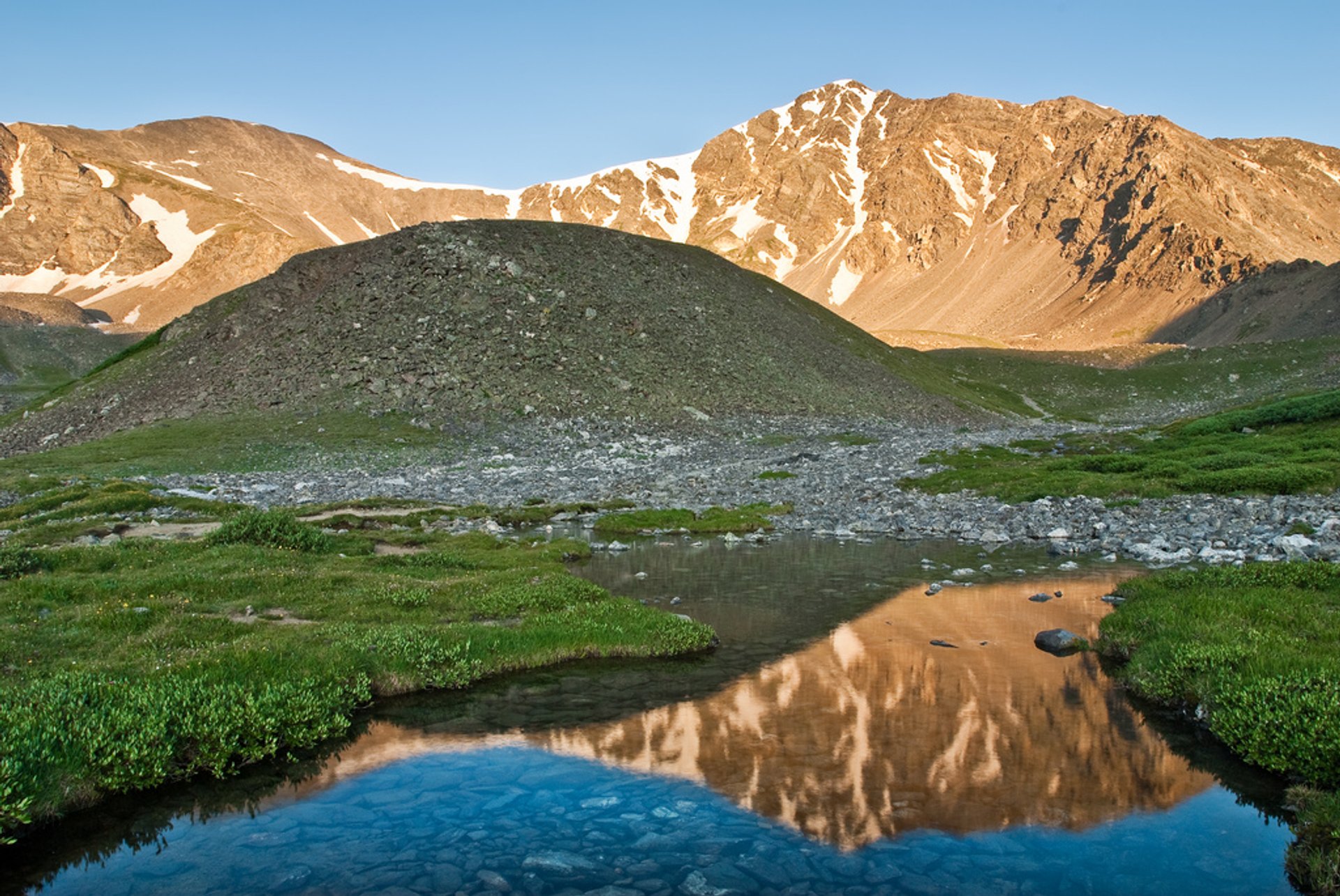
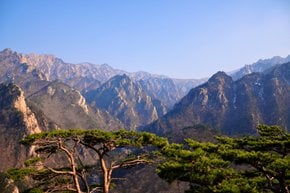
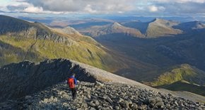
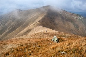
Grays and Torreys Peaks are located in the Front Range region of the Rocky Mountains in Colorado. The peaks are among 53 mountains in the state that exceed 14,000 ft (4267.2 m). Grays Peak's height is 14,278 ft (4352 m), which makes it the highest summit of the Front Range and the highest point on the Continental Divide. Both mountains were first described by Botanist Charles C. Parry in 1861 who named the peaks in honor of his botanist colleagues Asa Gray and John Torrey.

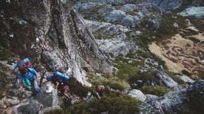
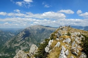
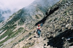
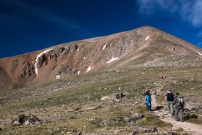
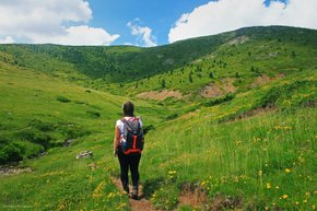
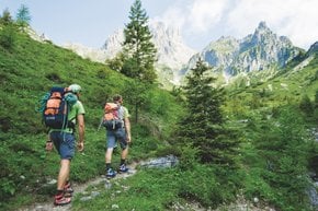
The trail to Grays and Torreys is 7.7 mi (12.4 km) long. It is heavily trafficked and is rated as difficult and like with most Colorado mountains, the best period for climbing is from June through October. The route starts from Grays Peak Trail at Stevens Gulch. Hikers who wish to visit both peaks in one day travel in a clockwise direction, going to Grays Peak first. It is less than a mile from Grays Peak's summit to Torreys Peak. The route goes down the North Ridge of Grays and then through the saddle between the peaks.

The trail is very popular and well-maintained, so it can get rather crowded. Avoid hiking there during the weekends.

Practical info

When is a good time to take on the challenge of hiking Grays and Torreys Peaks in Colorado?

Planning to hike Grays and Torreys Peaks in Colorado should be done from June through October when the weather is favorable, and there are fewer chances of snowfall. Hiking during winter is best avoided because of its dangers due to heavy snow and ice that can make the trail hazardous and difficult to traverse. Show more

What is the location of the trailhead for Grays and Torreys Peaks in Colorado?

Hikers can find the trailhead for Grays and Torreys Peaks by heading towards Stevens Gulch. From I-70, take Exit 221 (Bakerville/Loveland Pass) before driving over the overpass in Bakerville. A left turn on Stevens Gulch Road will take you the last 4 miles to Grays Peak Trailhead. Show more

What is the average time required to hike the challenging Grays and Torreys Peaks trail?

Most hikers take around 6-8 hours to complete the Grays and Torreys Peaks trail, covering 7.7 miles (12.4 km), and an elevation gain of 3,800 feet (1,158 meters). However, the time taken will depend on various factors such as physical fitness, acclimatization to altitude, and hiking experience. Show more

What is the difficulty level of the Grays and Torreys Peaks trail, and what precautions are necessary?

Owing to its elevation gain, steep terrain, length, and occasional exposure to crumbly rocks, the Grays and Torreys Peaks trail is categorized as difficult. Hikers are recommended to be physically fit, have the appropriate equipment and hike experience, especially above the treeline, where altitude sickness can affect hikers. Understanding and being aware of the inherent risks are necessary to avoid danger while hiking the trail. Show more

What was the reason behind naming the peaks 'Grays and Torreys Peaks' in Colorado?

'Grays and Torreys Peaks' were named in recognition of Asa Gray and John Torrey, two renowned botanists of the 19th century. Charles C. Perry, a respected botanist himself, named the peaks after his colleagues in 1861 as he surveyed the Front Range region of the Rocky Mountains in Colorado, in honor of their invaluable contribution to science. Show more

Ask a question

Find hotels and airbnbs near Hike to Grays and Torreys Peaks (Map)

Last updated: by Eleonora Provozin