Best time to visit Lake Tahoe

Freel Peak in Lake Tahoe

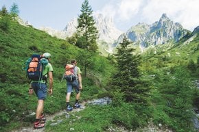
A popular climbing spot in Sierra Nevada Mountains

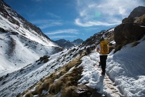
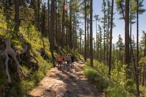
Best time: July–October

Freel Peak
Freel Peak

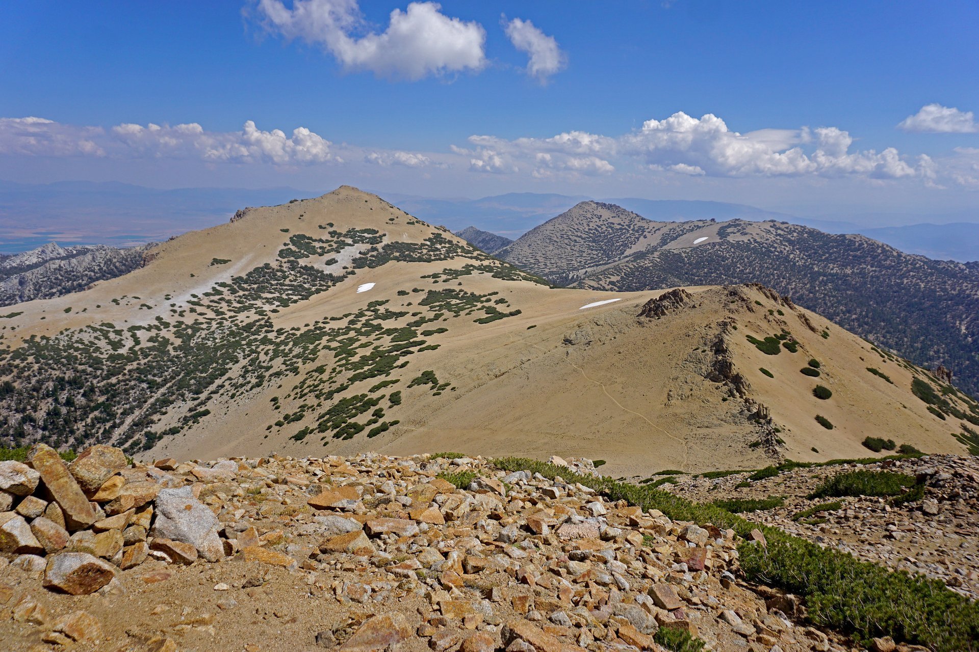
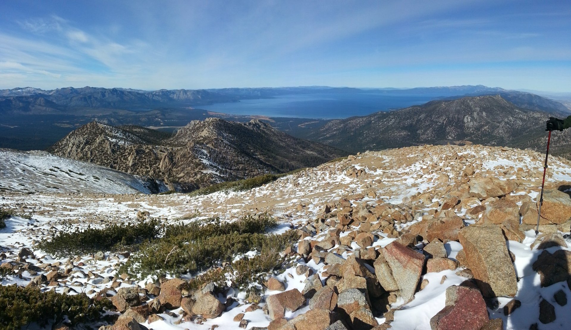
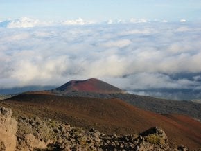
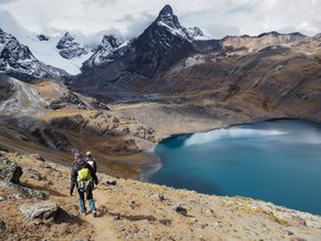
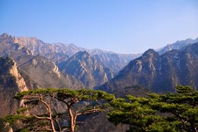
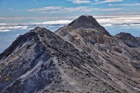
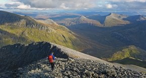
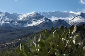
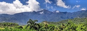
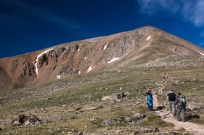
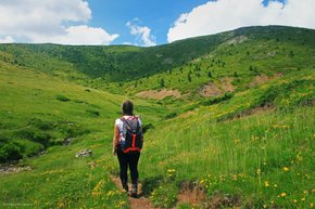
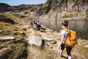
Freel Peak is the highest mountain in the Lake Tahoe Basin and Carson Range, offering panoramic 360-degree views of Lake Tahoe, Carson and Hope Valleys, lots of wildlife and wildflowers. The mountain is located on the border between the Eldorado National Forest and the Humboldt-Toiyabe National Forest at the elevation of 10,881 ft (3,317 m). It was named in 1893 after an early settler James Freel. The peak is located next to Job’s Sister and Job’s Peak—the three peaks are often hiked together.

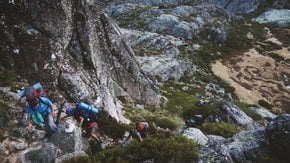
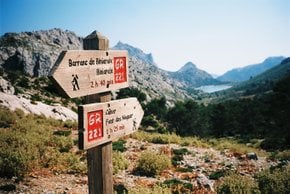
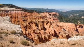
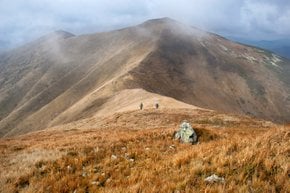
Freel Peak summit is rather sandy and rocky. There are many ways to hike Freel Peak, most of them are Class 1 walk-ups. One route starts at Armstrong Pass Road or Forest Service Road 051 off HWY 89 near Hope Valley and Meyers, California. The trail is best used from July to October.

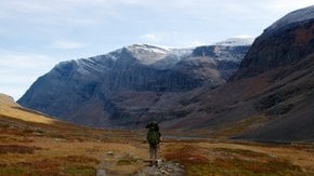
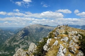
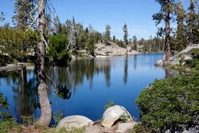
From the parking lot take the trail leading to Armstrong Pass and Star Lake. After the lake, you will reach a saddle between Trimmer Peak and Freel Peak and will see signs towards the Freel Peak Trail. The summit opens up a view of Mokelumne Wilderness and the Sawtooth Ridge in Northern Yosemite, as well as Mount Agassiz, Mount Tallac in Desolation Wilderness. From the summit, you can head back or continue to Jobs Sister. The trail is 7.3 mi (11.7 km).

Practical info

When is the best time to hike Freel Peak in Lake Tahoe?

July to October is the recommendation while considering the best time to hike Freel Peak in Lake Tahoe, as the trail remains nice and clear during this period, and the weather stays salubrious. A thorough no to hiking on the peak during winter and spring months is there owing to the heavy snowfall, which may sometimes turn risky Show more

Where is the starting point for hiking the Freel Peak Trail?

The Armstrong Pass Road, Forest Service Road 051 situated near Hope Valley and Meyers, California is the beginning point for hiking the Freel Peak Trail. One needs to take the trail towards Armstrong Pass and Star lake from there, followed by reaching the pass between Trimmers Peak and Freel Peak, and after that, the Freel Peak Trail can be spotted quickly. The trail enjoys noticeable visibility from the car. Show more

What is the elevation of the Freel Peak summit?

The summit of Freel Peak lies at a substantial elevation of 10,881 ft (3,317 m), offering the unforgettable sight of a beautiful mountain rich in flora and fauna. A standard hiking gear, proper footing, and knowledge about rock-strewn terrain are vital while hiking to the peak. Freel Peak is the highest amongst the entire Lake Tahoe Basin and Carson Range with attractive panoramic views. Show more

What other peaks can be hiked in the Lake Tahoe Basin?

Other than the popular Freel Peak, Mount Tallac, Pyramid Peak, and Mount Rose can also be hiked in the Lake Tahoe Basin, furnishing another beautiful glimpse of the area. Each mountain has its unique and diverse terrain, complexity level, and trekking path, offering breathtaking views of the Basin and nearby places. An adequate amount of study and planning is suggested before embarking on any hiking expedition. Show more

What kind of wildlife and wildflowers can be seen on the Freel Peak trail?

The magnificent Freel Peak trail, during the warm months, gives sight to the delicious beauty of wildflowers like Indian paintbrushes, lupines, and tiger lilies. Besides, a wide variety of fauna like bald eagles, chipmunks, marmots, and golden eagles are seen in this area. Taking care of distancing oneself from wildlife and respecting their habitat is essential while enjoying the marvelous Freel Peak trail. Show more

Ask a question

Find hotels and airbnbs near Freel Peak (Map)

Last updated: by Dari Vasiljeva