Best time to visit Oregon

Mount McLoughlin in Oregon

Climb a volcano for panoramic views of Southern Oregon and Northern California

Best time: late May–October

Mount McLoughlin

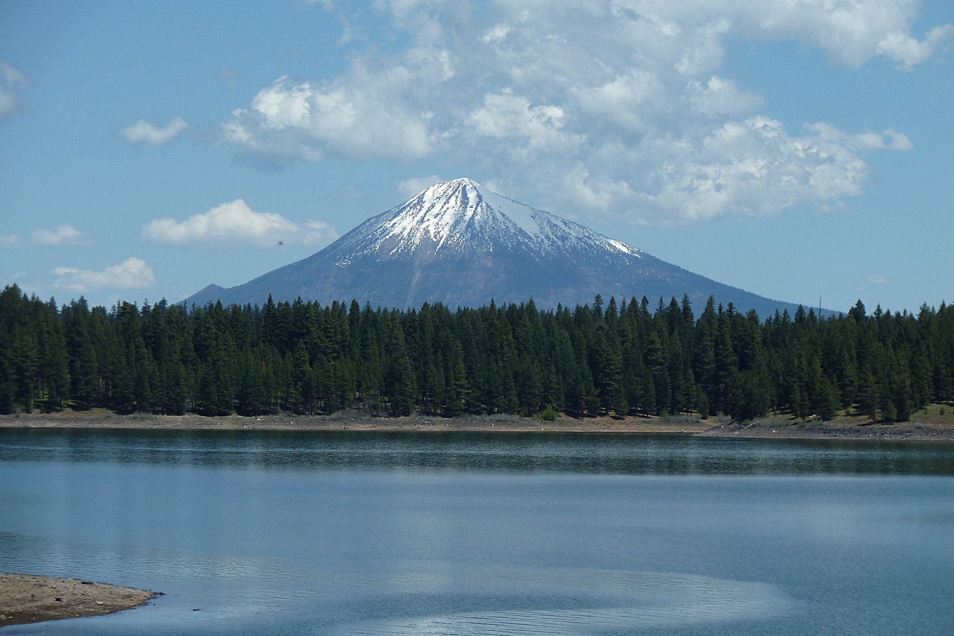
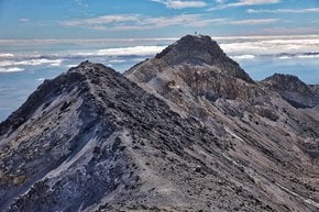
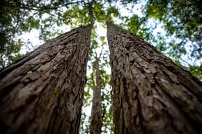
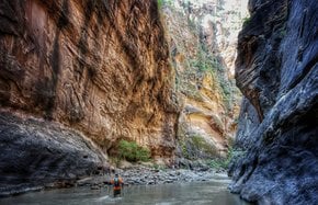
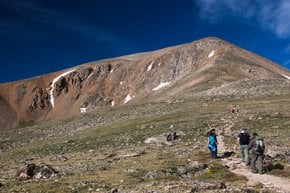
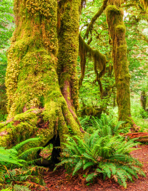
The gorgeous Mount McLoughlin is the highest point in Jackson County, Southern Oregon. A stratovolcano with an elevation of 2,894 m (9,495 ft), belongs to the Cascade Range within the Sky Lakes Wilderness. This scenic area boasts about 200 small and large lakes. It is one of the volcanic peaks in the Cascade Volcanic Arc within the High Cascades sector. It was named in the 19th century for John McLoughlin, a chief factor for the Hudson's Bay Company.

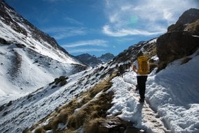
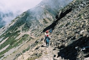
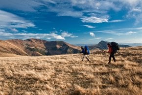
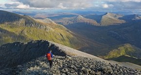
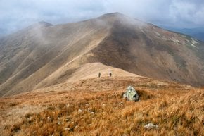
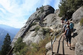
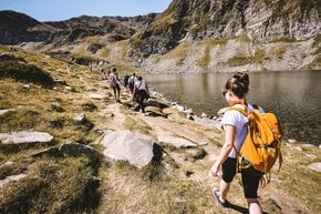
A 14-km (9-mi) trail to the summit is not an easy hike. But unlike some other Cascade peaks, it doesn't require climbing and can be done in one day. When on top, hikers enjoy beautiful views over the peaks like Mount Thielsen and Mount Shasta, admire Crater Lake, and several other lower water reservoirs.

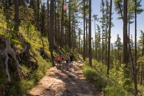
The trailhead can be accessed from Highway 140, north of Lake of the Woods. The route starts easily winding through a picturesque forest and boulder fields. The second half of the trail is much steeper than the first. A steep rocky path to the summit features 381 m (1,250 ft) of elevation gain. The trail can get a lot of snowfall in winter, so it's best to avoid this time of the year. The best time to climb Mt. McLoughlin runs from late May through October, but it is strongly recommended to check weather conditions at any time of the year. Also, on the way to the top, turn back to memorize the trail, as people often get lost on the way back.

Practical info

When is the best time to climb Mount McLoughlin in Oregon?

The ideal time to climb Oregon's Mount McLoughlin is from late May until October. Climb when the weather is good for the best experience. However, the trailhead is snowed under and can be dangerous in winter, making it difficult or impossible to climb. Show more

Where can I access the trailhead to Mount McLoughlin?

The path to Mount McLoughlin's trailhead begins on Highway 140 north of Lake of the Woods. The trail to Mount McLoughlin is picturesque but also steep. The first half of the trail gradually climbs through a beautiful forest and boulder fields the second half climbs more sharply. Show more

What is the elevation of Mount McLoughlin?

Mount McLoughlin's elevation is 2,894 m (9,495 ft), making it Southern Oregon's tallest point. It's one of several volcanic peaks located in the High Cascades section of the Cascade Volcanic Arc. The peak honors John McLoughlin and received its name in the 19th century. Show more

What other peaks can be seen from the top of Mount McLoughlin?

From the peak of Mount McLoughlin, hikers can enjoy breathtaking views of Southern Oregon and Northern California's peaks, which include Mount Thielsen and Mount Shasta. Hikers can also observe the mesmerizing beauty of Crater Lake and locate several other lower water reservoirs in the region. Show more

Is it recommended to climb Mount McLoughlin alone or with a group?

We strongly advise that inexperienced hikers climb Mount McLoughlin with a group. The trail to the summit of Oregon's Mount McLoughlin is challenging and becomes steeper as one approaches the top, with a rocky path that offers an elevation gain of 381 m (1,250 ft). The weather can be unpredictable, and the path may become more difficult, so climbers should always proceed with caution and in groups. Show more

Ask a question

Find hotels and airbnbs near Mount McLoughlin (Map)

Last updated: