Best time to visit Oregon

Saddle Mountain in Oregon

A panoramic view and plenty of wildflowers to enjoy

Best time: April–November

Saddle Mountain
Saddle Mountain
Saddle Mountain
Saddle Mountain
Saddle Mountain
Saddle Mountain
Saddle Mountain
Saddle Mountain

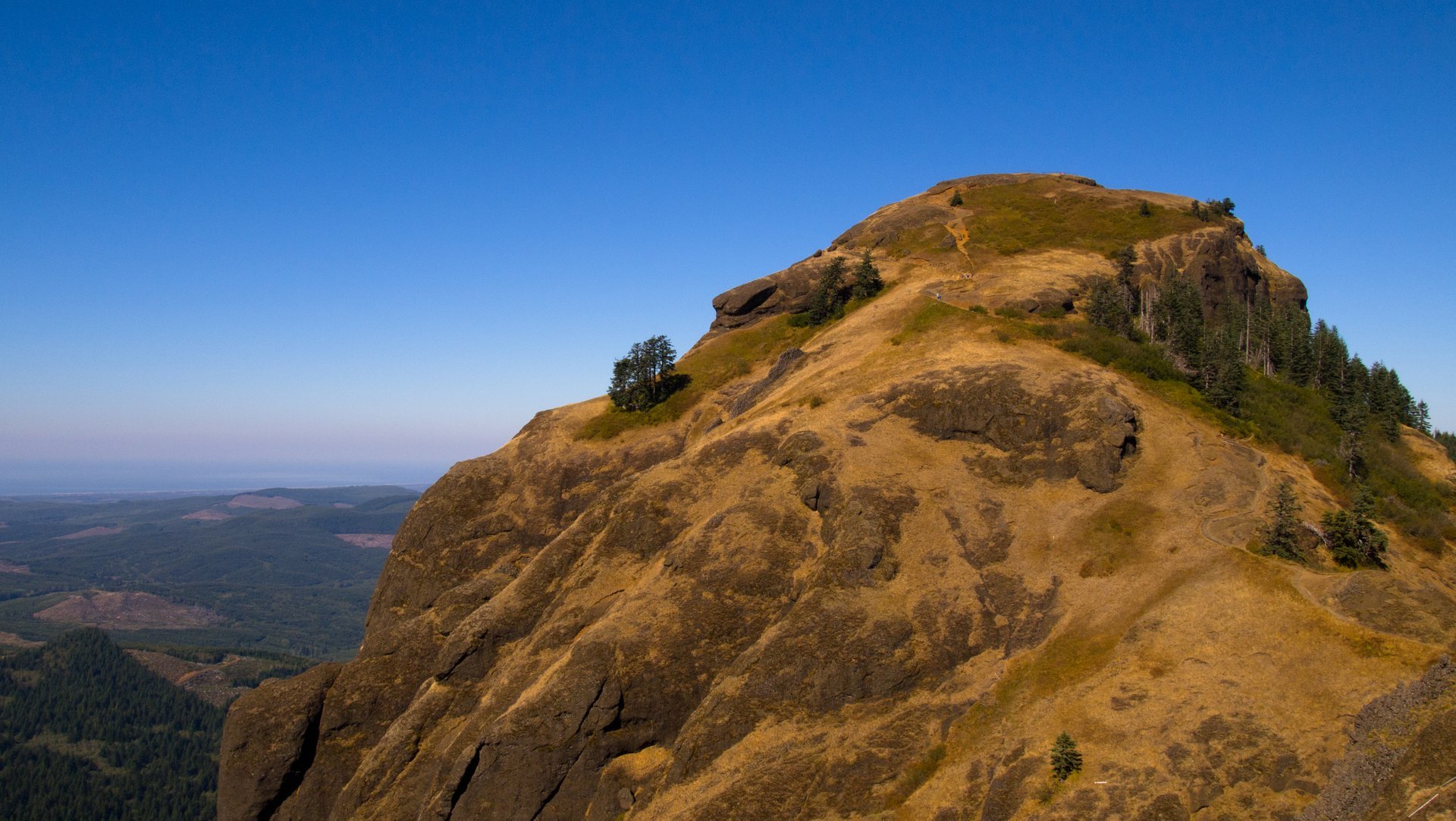
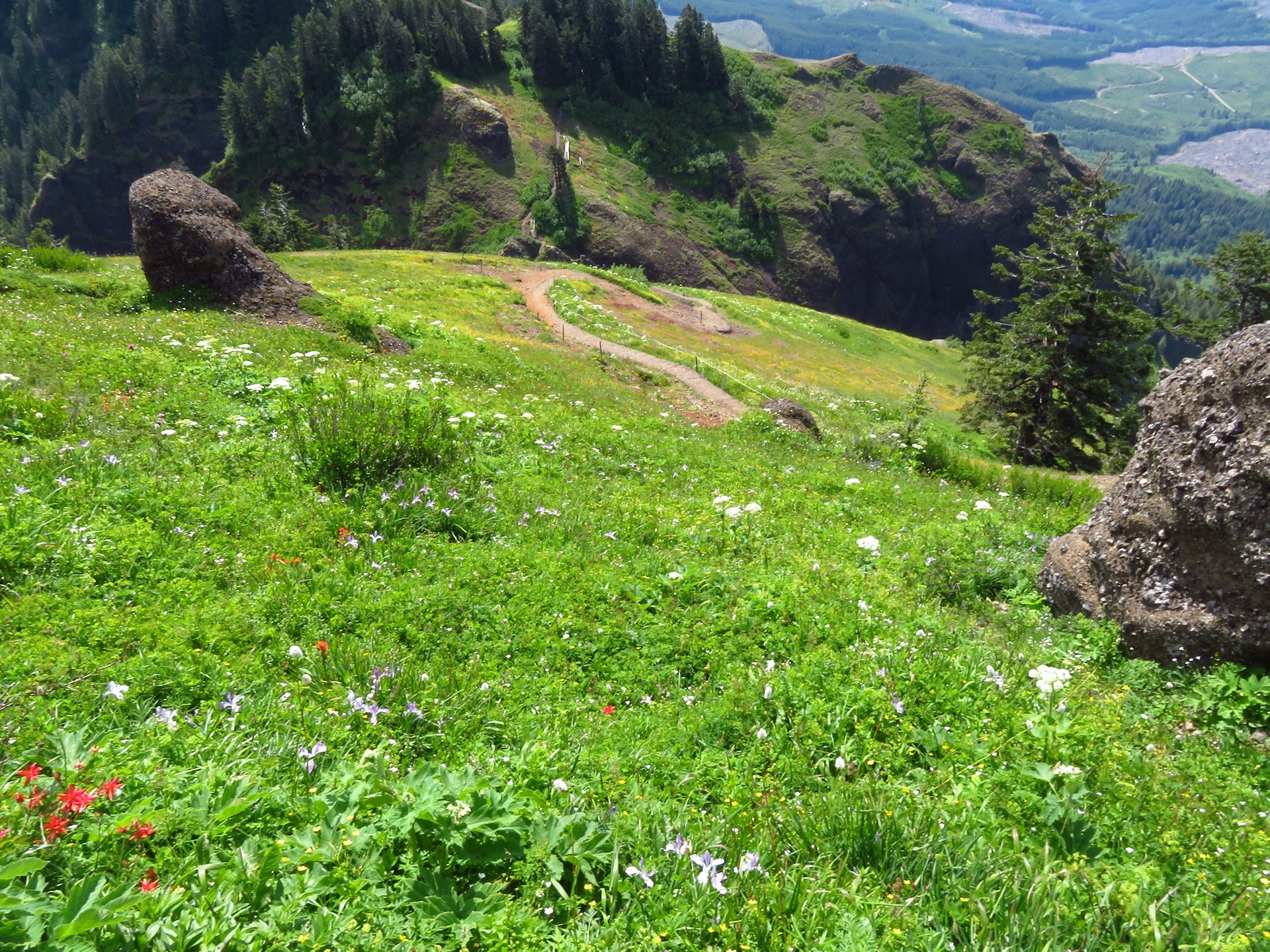
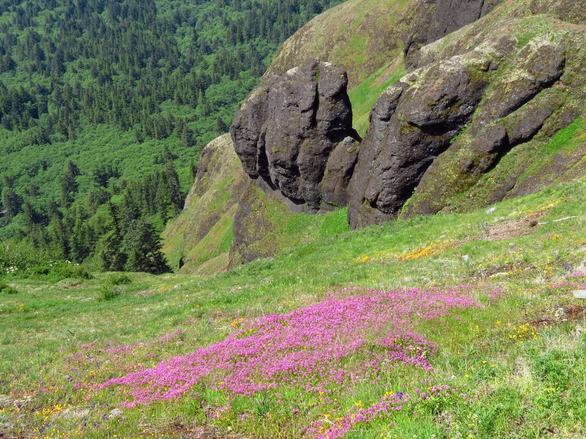
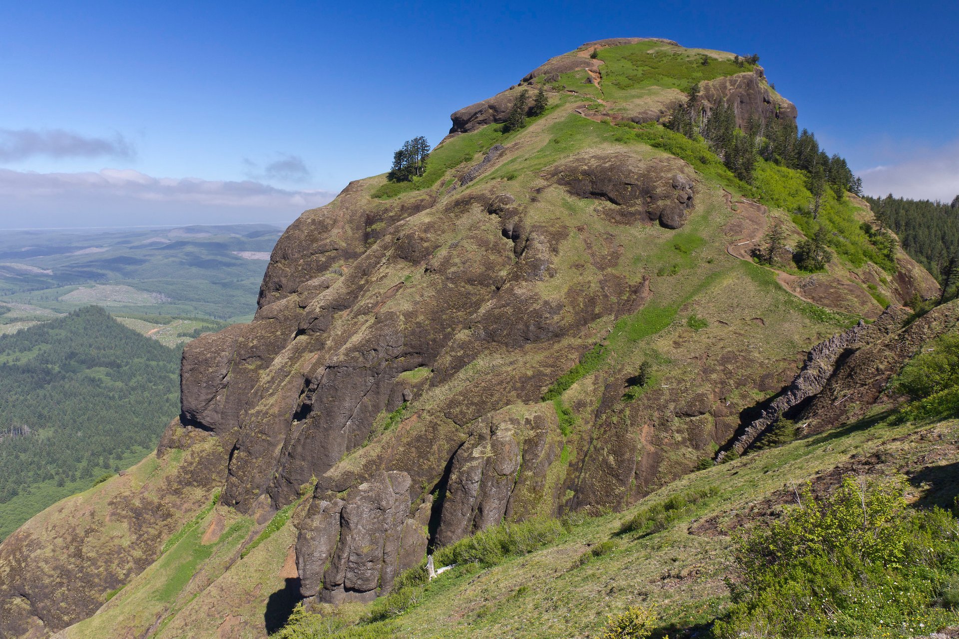
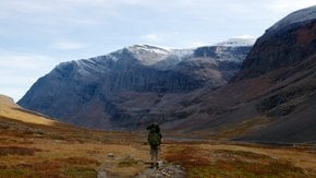
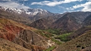
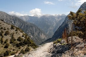
Saddle Mountain is one of the highest and most popular peaks in the northwestern part of Coast Range of Oregon. It was formed by lava eruption in Idaho that flowed into the ocean. The mountain could be best climbed from April through November with May, June, and July being the most delightful months due to blooming wildflowers.

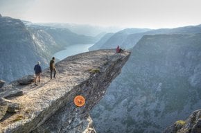
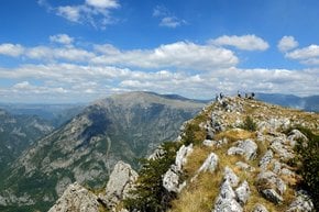
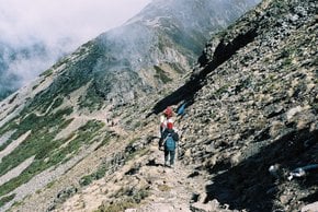
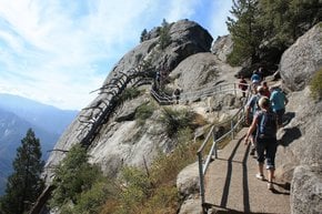
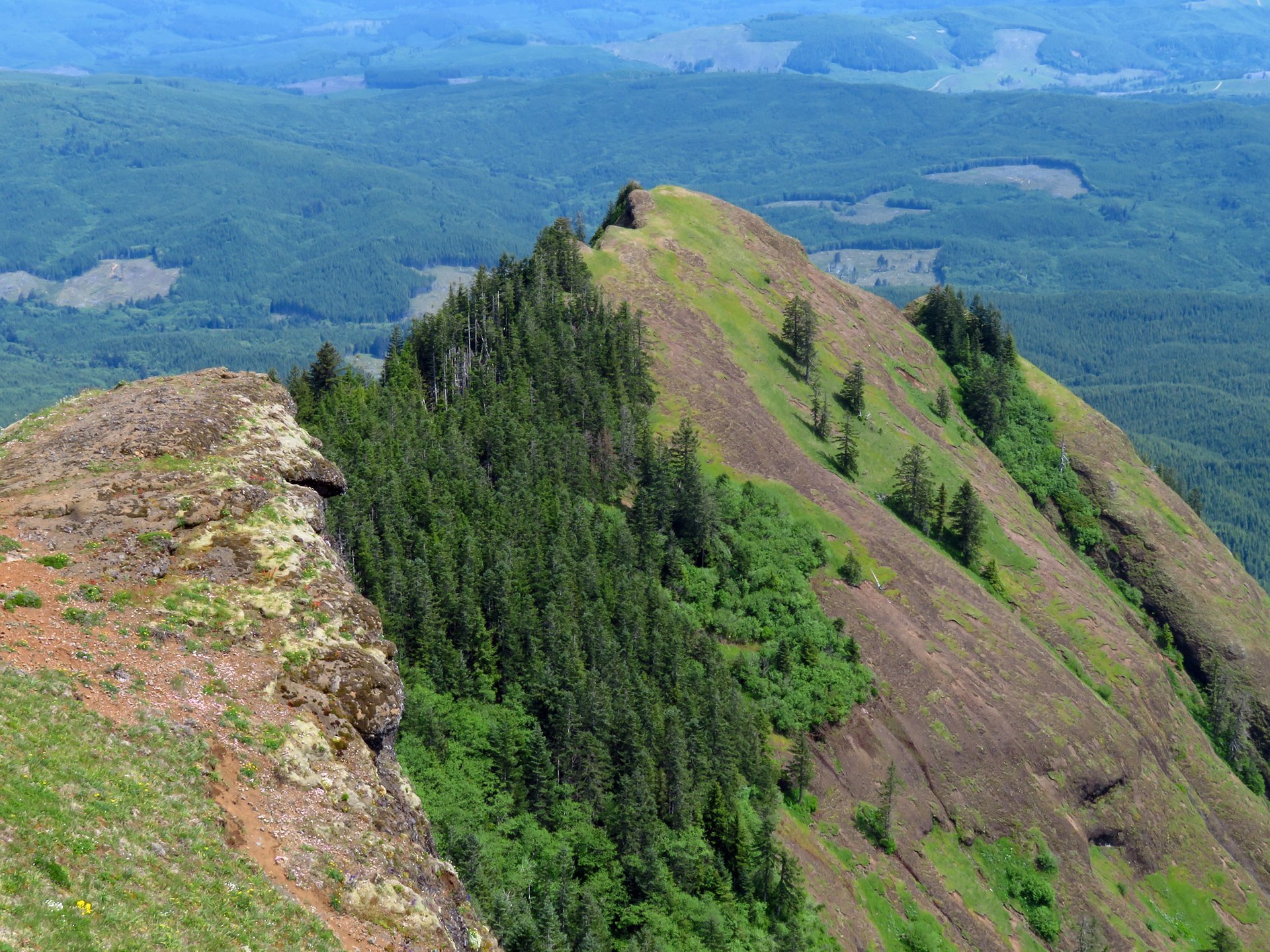
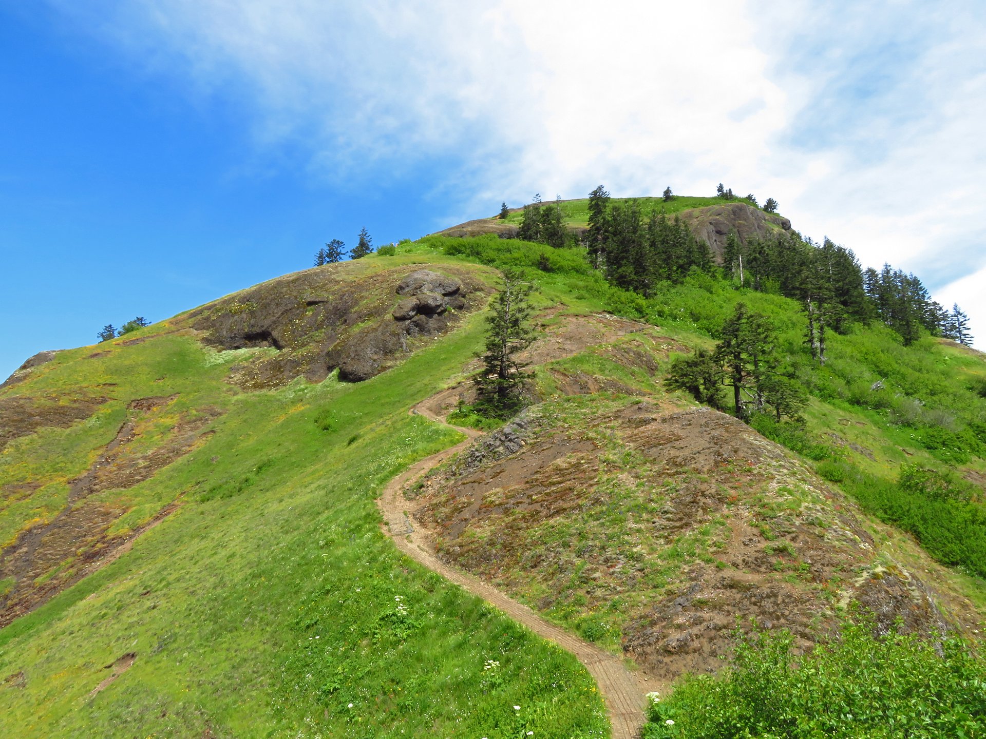
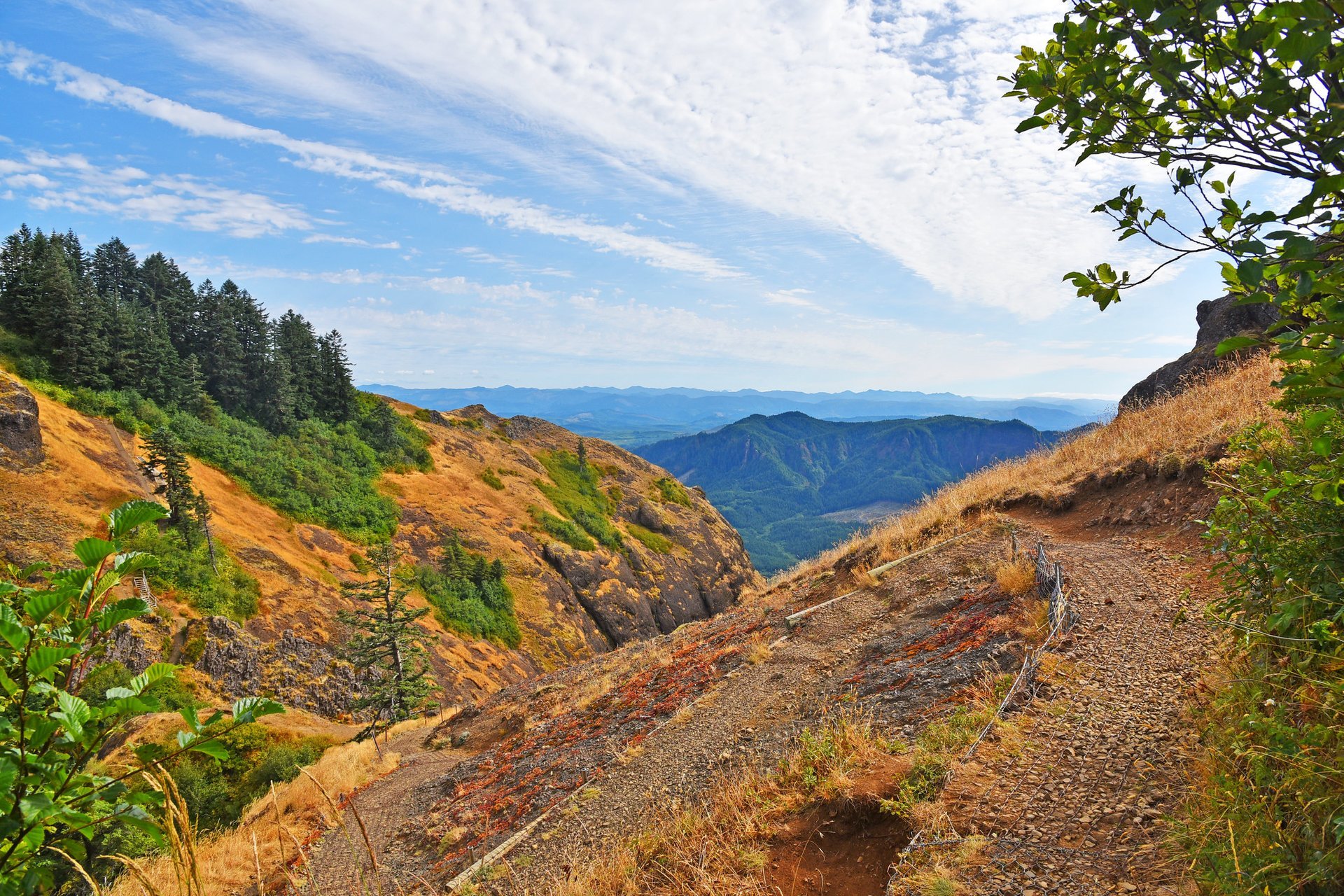
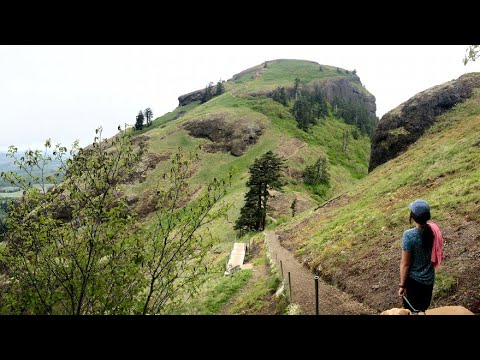
The peak located in the Saddle Mountain Natural State Area could be reached by Saddle Mountain Trail. It's a 4.5-mi (7.2-km) trail that starts near Seaside, Oregon. The trail is rather difficult, but once you get to the saddle-shaped summit, you'll be rewarded with a fantastic view of the Pacific Ocean coast and Mounts St. Helens, Rainier, Adams, and Hood. A viewing platform is located on an elevation of 3,290 feet (1,003 m). The mountain is covered by large basalt slabs that create an illusion of some ancient building rising up from its side. The area has about ten primitive campsites to spend the night.

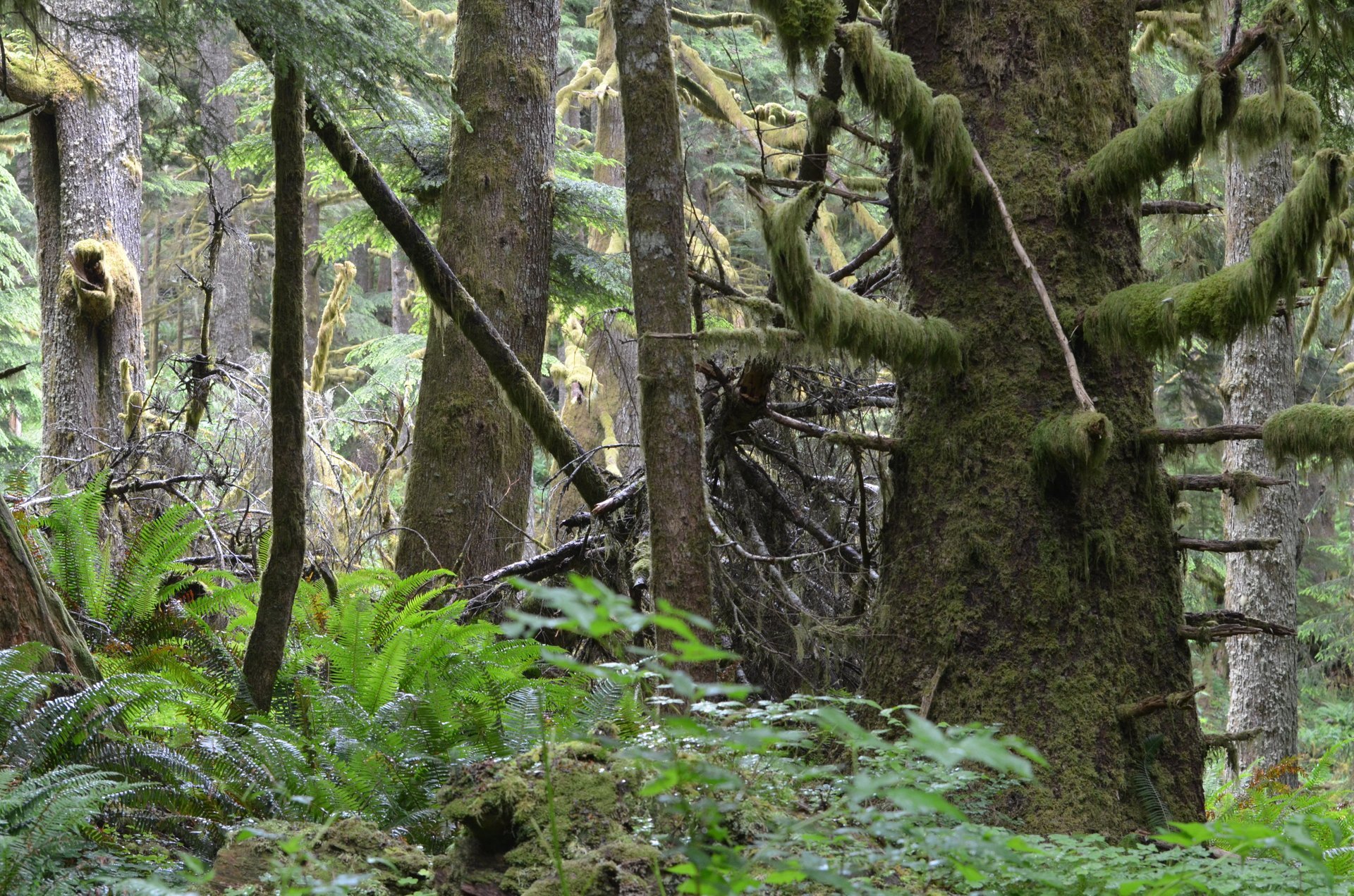
To get to Saddle Mountain Trailhead take Highway 26 west from Portland for 66 mi (106 km) until you see the Saddle Mountain State Park sign. Drive through the park for about 7 mi (11 km) on Saddle Mountain Road. From the parking lot, you'll see the first campsite area. The paved trail ends soon, and you'll be climbing through the forest with red alders, Douglas-firs and spruces.

Practical info

What is the best time of the year to climb Saddle Mountain?

The most favorable time for climbing Saddle Mountain is from April to November, with May, June, and July being the most picturesque months due to the abundance of wildflowers blooming. These months would offer the best experience with the colorful hillside, which gives an enchanting view to behold. Show more

What is the route to follow to reach Saddle Mountain Trailhead?

To reach Saddle Mountain Trailhead, you should take Highway 26 on a westward drive from Portland covering a distance of 66mi (106km). Spot the Saddle Mountain State Park sign, drive through the park, past the first campsite area for approximately 7mi (11km) to Saddle Mountain Trailhead. The trail starts at the end of the paved road, leading to the forested area where the climb begins. Show more

What is the distance and difficulty level of Saddle Mountain Trail?

Saddle Mountain Trail is 4.5mi (7.2km) long, and although the climb is rather tricky, the journey starts by passing through the forest, amongst red alder, Douglas-fir, and spruces. Climbers will encounter a paved road until they endeavor upward, where steep graded inclines that demand substantial energy would meet them. Show more

What can you see from the peak of Saddle Mountain?

The peak of Saddle Mountain provides an astonishing panoramic view from an elevation of 3,290feet (1,003m). On a clear day, climbers can behold the Pacific Ocean coast and other breathtaking views, namely Mounts St. Helens, Rainier, Adams, and Hood. Strikingly, the mountain's side is dominated by large basalt slabs, creating an illusion of an ancient edifice. Show more

What kind of campsites exist in Saddle Mountain Natural State Area?

Saddle Mountain Natural State Area offers ten primitive campsites placed near the parking area. Visitors can spend the night for a chance to experience the area. Since there are no water sources, visitors must bring drinking water and firewood. Fires are permitted in fire rings only, and all sites are first-come, first-served. Hence early arrival is paramount! Show more

Ask a question

Find hotels and airbnbs near Saddle Mountain (Map)

Last updated: