Best time to visit California

Monitor Pass in California

A great outlook at the eastern Sierra Nevada

Best time: late April–mid-November

Monitor Pass
Monitor Pass
Monitor Pass
Monitor Pass
Monitor Pass
Monitor Pass

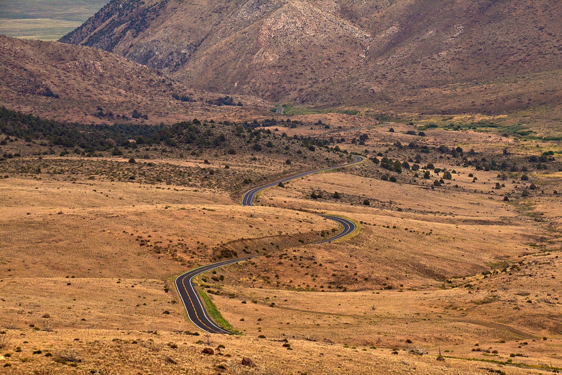
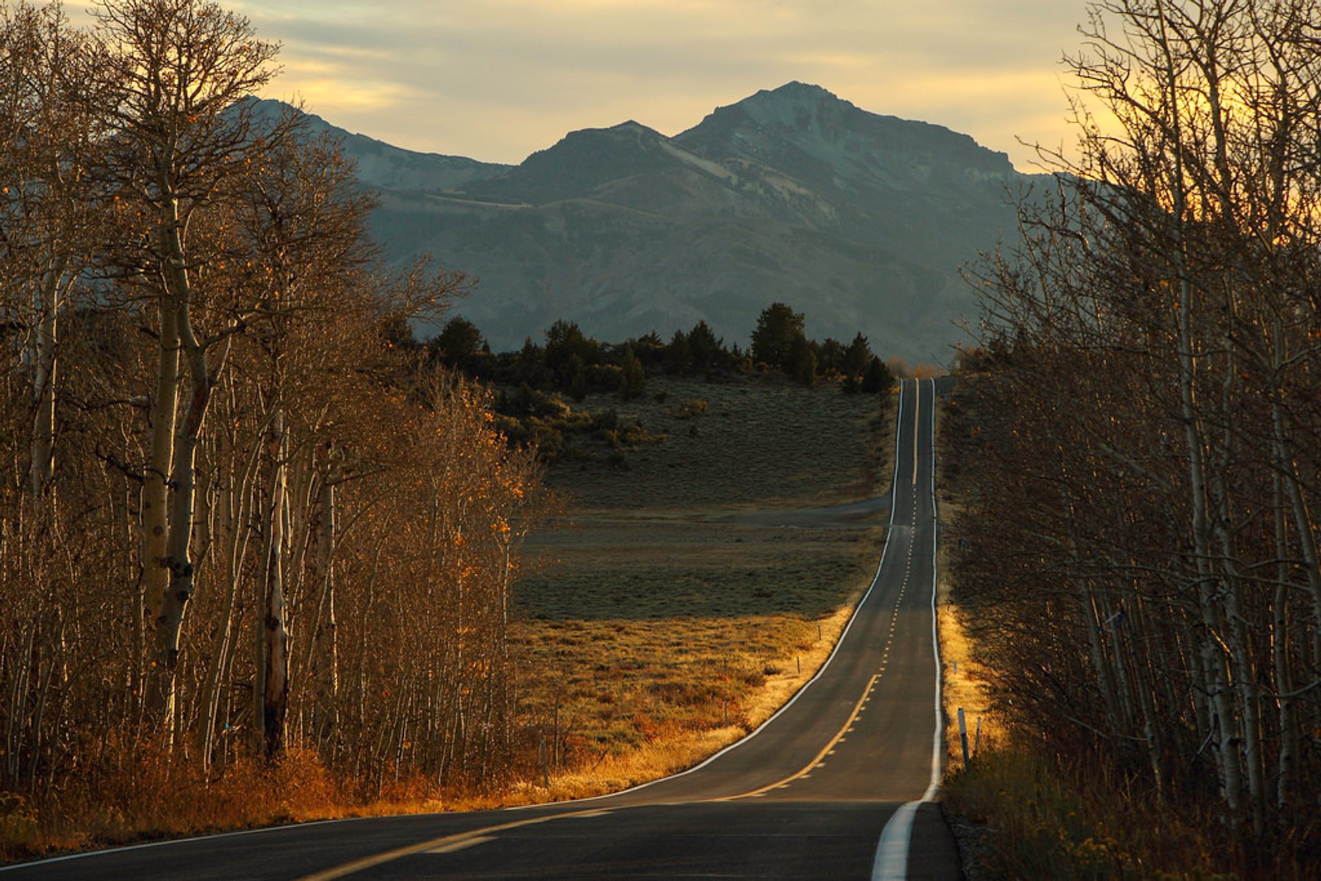
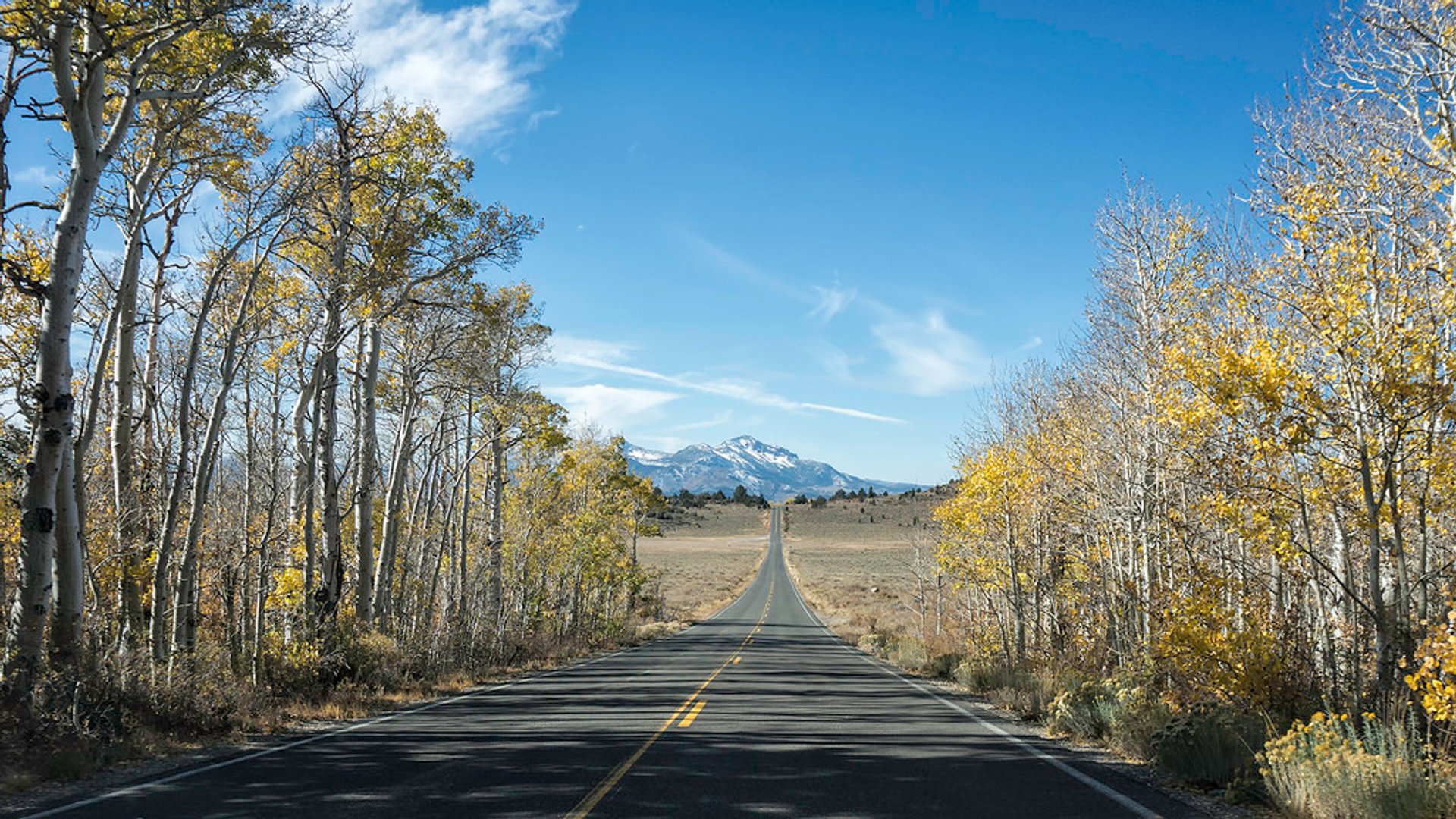
Monitor Pass is nestled within the Sierra Nevada mountains, southeast of Lake Tahoe, California. The pass was named after the nearby silver mining town. The highway through the pass—State Route 89—was paved in the 1950s, ensuring better and faster access. However, State Route 89 over Monitor Pass is closed in the winter due to snow accumulation. Highway 89, also known as Robert M. Jackson Memorial Highway, is usually open to traffic from late April to mid-November. For the road information updates check the California Department of Transportation website.

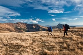
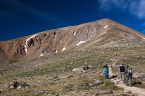
Monitor Pass has an elevation of 2,534 m (8,314 ft) above the sea level. Once you get to the summit, there are plenty of hiking options. Take a gravel road to Leviathan Peak, 2,438 m (8,942 ft). Explore the nearby Heenan Lake, about 6.4 km (4 mi) from the pass. Below Leviathan Peak, there is a beautiful aspen grove that changes colors to vibrant hues during fall.

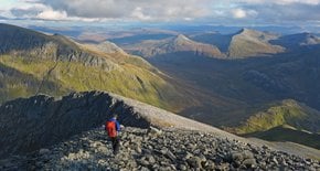
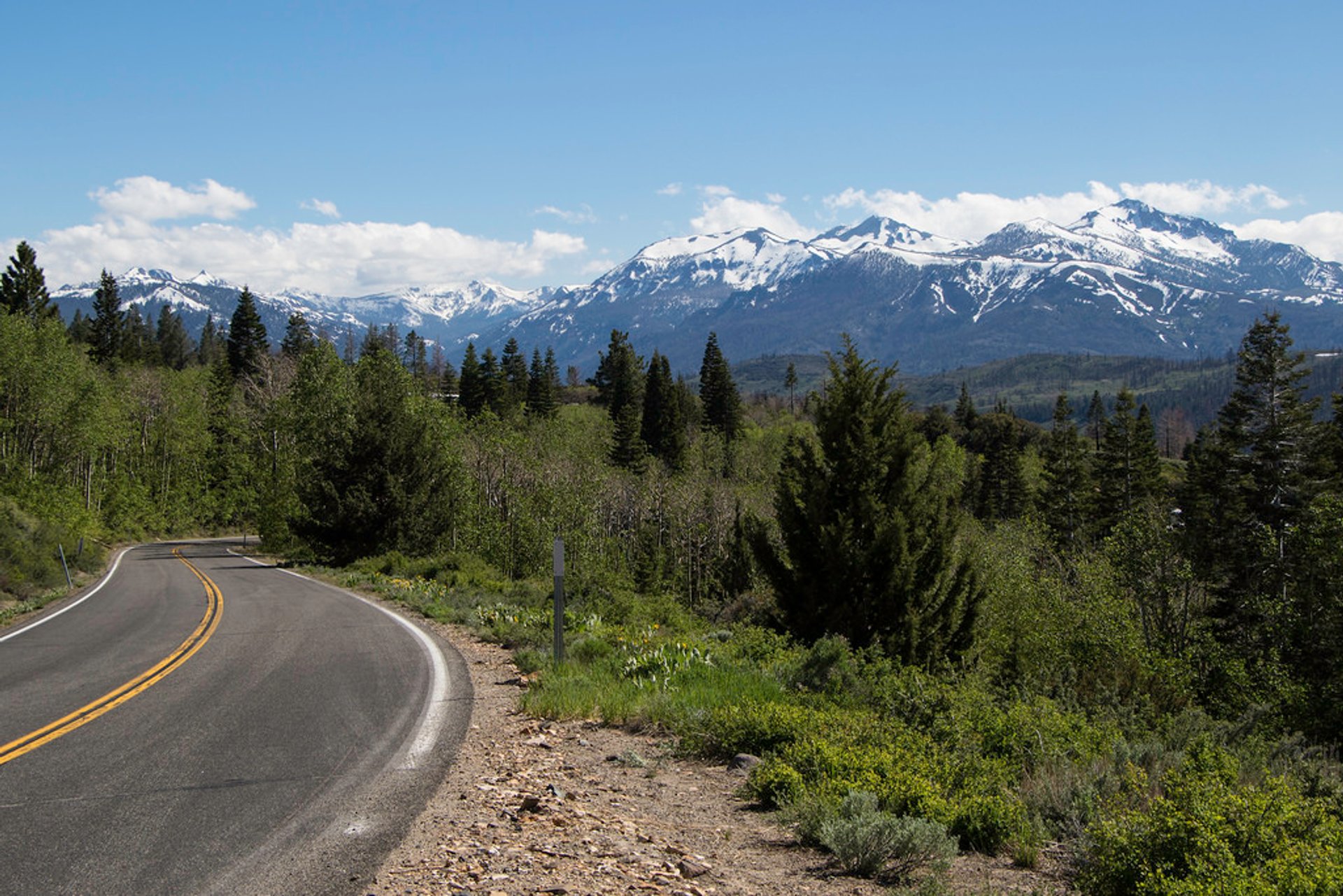
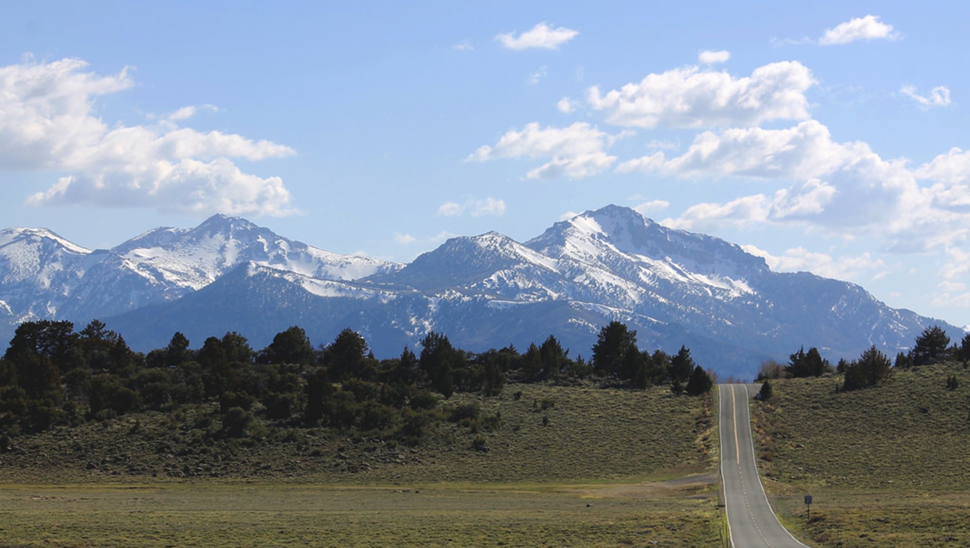
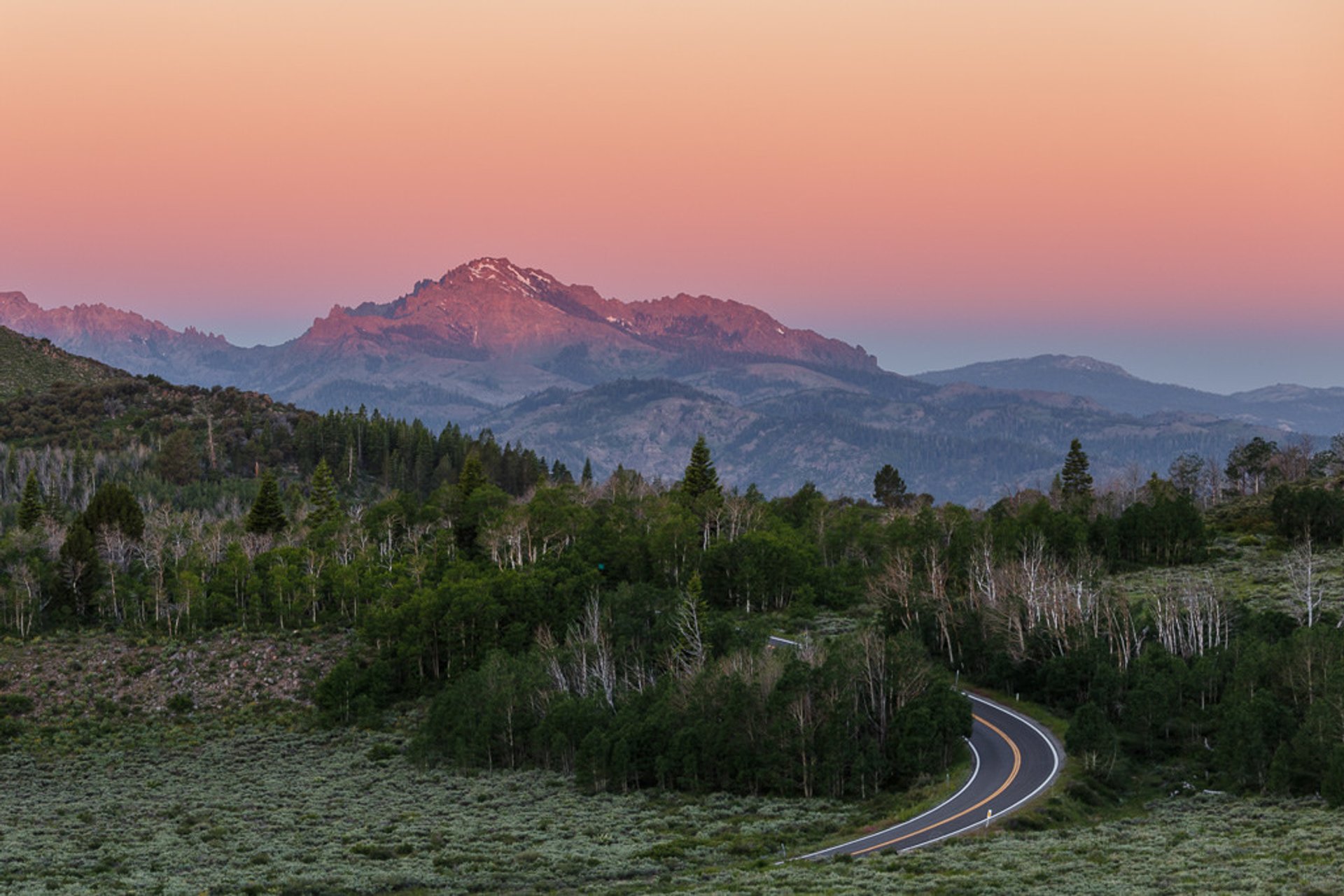
Monitor Pass summit offers spectacular views of the surrounding mountains—Ebbetts Pass, Sonora Pass, Carson Pass to the west, and Sweetwater Mountains to the east. Nevada desert peaks can also be spotted from the viewpoint. The Monitor Pass summit marker is slightly obscure, thus it's easy to pass by, so look for a granite slab on the right (if you are driving or riding from Heenan Lake up) nestled in Aspen trees.

Practical info

When is the best time to visit Monitor Pass?

Monitor Pass is accessible from late April until mid-November, offering visitors a range of sights to enjoy. In early spring and late fall, the roads see fewer cars, making these times ideal for a trip. During your visit, you might see flowering wildflowers, grazing cattle, or the vibrant colors of autumnal Aspen trees. Each season offers a unique perspective of the stunning landscape that Monitor Pass has to offer. Show more

Where can I get road information updates for Monitor Pass?

To get updates on the road conditions at Monitor Pass, head to the California Department of Transportation website. Alongside information about State Route 89, which passes through Monitor Pass, you can also check out traffic reports and details about any potential road closures. Before you head over, you might also want to take note of the local weather conditions to ensure that your journey is a safe one. Show more

What are the hiking options available at Monitor Pass?

If you're a hiking enthusiast, Monitor Pass is an ideal location to explore with an abundance of picturesque trails to choose from. One popular choice is the gravel road leading from the summit to Leviathan Peak, which stands at an elevation of 2,438 m (8,942 ft). Alternatively, you could visit nearby Heenan Lake, located just over 6.4 km (4 mi) away. Additionally, the Aspen grove just below Leviathan Peak is a beautiful sight with vibrant colors during fall. Show more

Can I expect to see fall colors at Monitor Pass?

Late September and early October are the best times to visit Monitor Pass if you want to catch the striking Aspen fall colors. The Aspen grove that surrounds the pass offers a spectrum of colors, ranging from golden yellow to deep gold. The fall foliage is a favorite reason for many visitors to make a trip to Monitor Pass. If you're interested in experiencing nature's fall spectacle, plan your trip accordingly! Show more

What are the mountains that can be spotted from the Monitor Pass viewpoint?

Monitor Pass provides awe-inspiring views of the Ebbetts Pass, Sonora Pass, and Carson Pass mountains to the west, along with eastern peaks visible across the Nevada desert. The summit marker is located amidst Aspen trees, creating an ideal backdrop for a scenic photo. The pass's vantage point offers visitors a chance to behold the stunning surroundings and is a favorite spot for many photographers. Show more

Ask a question

Find hotels and airbnbs near Monitor Pass (Map)

Last updated: