Best time to visit Colorado

Lone Eagle Peak in Colorado

Hike Colorado's most photogenic mountain reflecting in the Mirror Lake

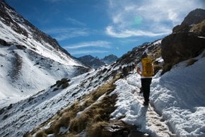
Best time: June–September

Lone Eagle Peak
Lone Eagle Peak
Lone Eagle Peak

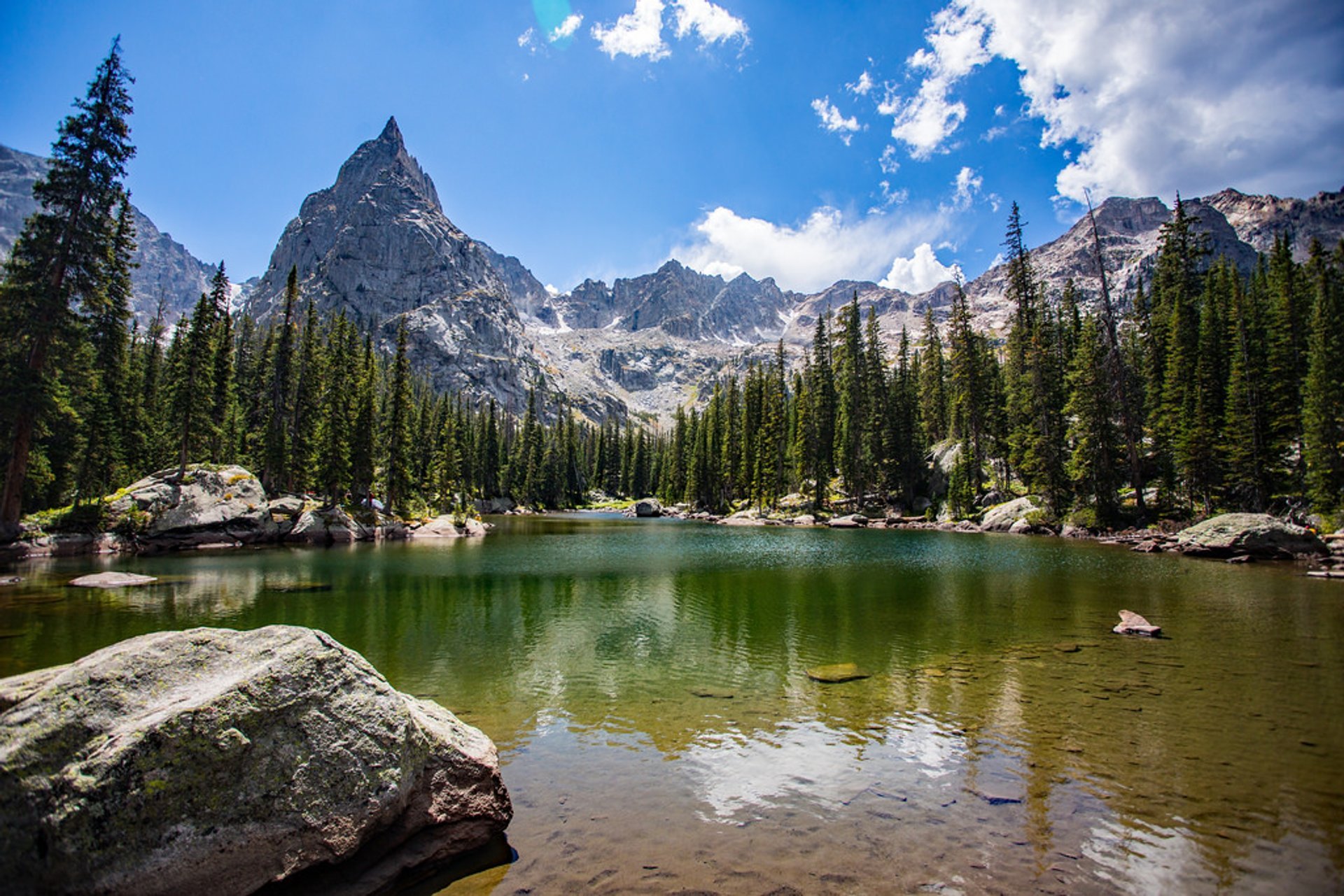
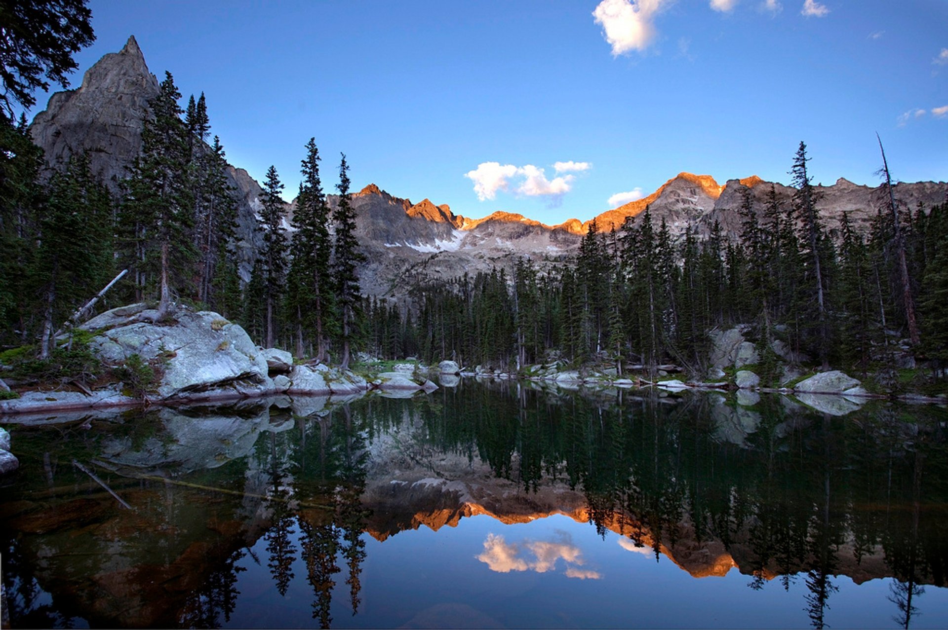
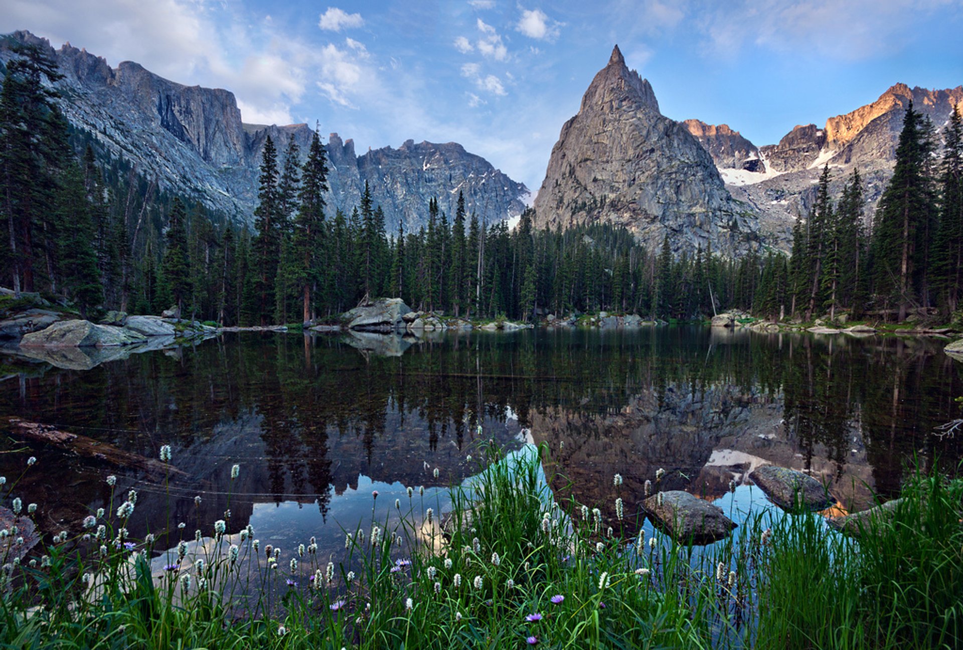
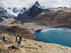
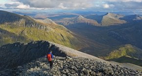
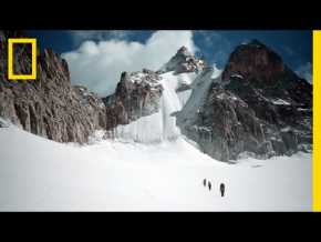
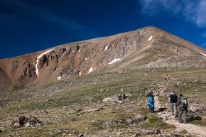
A stunning Lone Eagle Peak is one of the Indian Peaks of the Front Range of the Rocky Mountains. With the height of 11,946 ft (3,641 m), the peak is dominating the Indian Peaks Wilderness of Arapaho National Forest. The nearest town to the peak is Fraiser in Grand County, Colorado, some 12.4 mi (19.9 km) away. The mountain was named in honor of aviator Charles Lindbergh who was often called a 'lone eagle.'

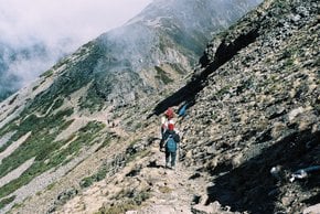
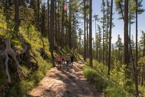
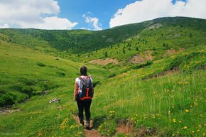
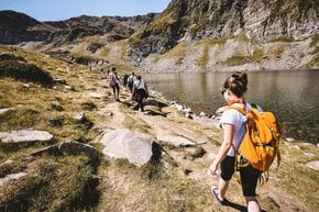
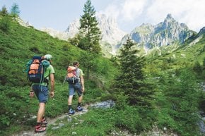
The peak can be accessed through Cascade Creek Trail to Mirror Lake and Crater Lake, a 14.6 mile (23.4 km) track with elevation gain of 2,375 feet (724 m) and is rated as difficult. The best time to hike this trail is from June until September. On their way to Lone Eagle Peak, hikers pass a few waterfalls, scenic creeks, lovely pine groves, and alpine meadows. Since the trail is rather long, many hikers camp overnight, although it is possible to complete it in one day. To stay overnight at Lone Eagle Peak, hikers will need to get a permit.

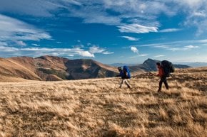
The trail starts at the Monarch Lake Trailhead and then wraps the north side of Monarch Lake. Hikers will be able to see many wildflowers and some wildlife on the trail, for example, deer and moose. Cascade Falls is a perfect spot to rest on the trail before pushing for gorgeous Lone Eagle Peak.

Practical info

When is the best time of the year to hike Lone Eagle Peak?

Lone Eagle Peak is best hiked from June to September due to open trails and milder weather. While weather conditions during these months are more stable, hikers must watch for sudden changes in weather, carry adequate food and water, and dress appropriately. Show more

Where is Lone Eagle Peak located in Colorado?

Lone Eagle Peak is found in Indian Peaks Wilderness in Arapaho National Forest, Grand County, Colorado, which is located about 19.9 km from Fraser. Hiking to Lone Eagle Peak is accessed through the Cascade Creek Trail, starting from the Monarch Lake Trailhead and passes Mirror Lake and Crater Lake. Show more

What is the difficulty level of Cascade Creek Trail?

Hiking the Cascade Creek Trail to Lone Eagle Peak is difficult with an elevation gain of 2,375 feet and a length of 14.6 miles, taking an estimated 1 to 3 days to complete. Hikers must be experienced, physically fit, and know their limits, as the trail involves steep climbs and rocky terrain, despite having excellent scenery with large waterfalls, creeks, meadows, and pine forests. Show more

Are permits required for an overnight stay at Lone Eagle Peak camping area?

To camp overnight in the Indian Peaks Wilderness, backpackers require a permit from the US Forest Service. There may be additional costs associated with backcountry camping permits. Hikers can acquire permits via recreation.gov, telephone, or in-person. Obtaining a permit is critical to limiting the number of visitors staying overnight and preserving the natural resources of the area. Show more

What wildlife can hikers expect to see on the trail to Lone Eagle Peak?

Deer, moose, pika, marmots, elk, and bears are several of the wildlife species that hikers may encounter on the Cascade Creek Trail. The area is home to a variety of other animals, such as mountain lions, bighorn sheep, and lynx, although it is highly unlikely that they will be seen on the trail. Hikers should take necessary precautions, such as food protection, carrying bear spray, and keeping a safe distance from wildlife. Show more

Ask a question

Find hotels and airbnbs near Lone Eagle Peak (Map)

Last updated: