Best time to visit Seattle

Skyline Divide Trail in Seattle

A scenic wildflower paradise north of Mount Baker

Best time: July–October

Skyline Divide Trail

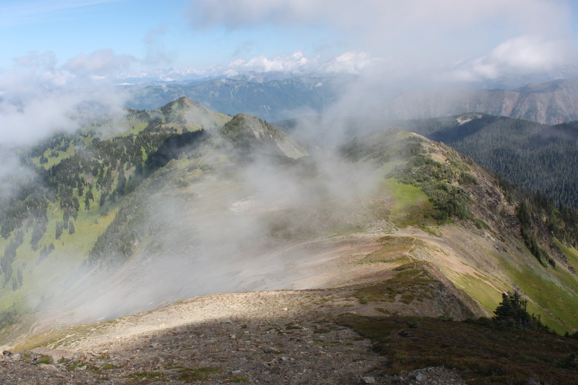
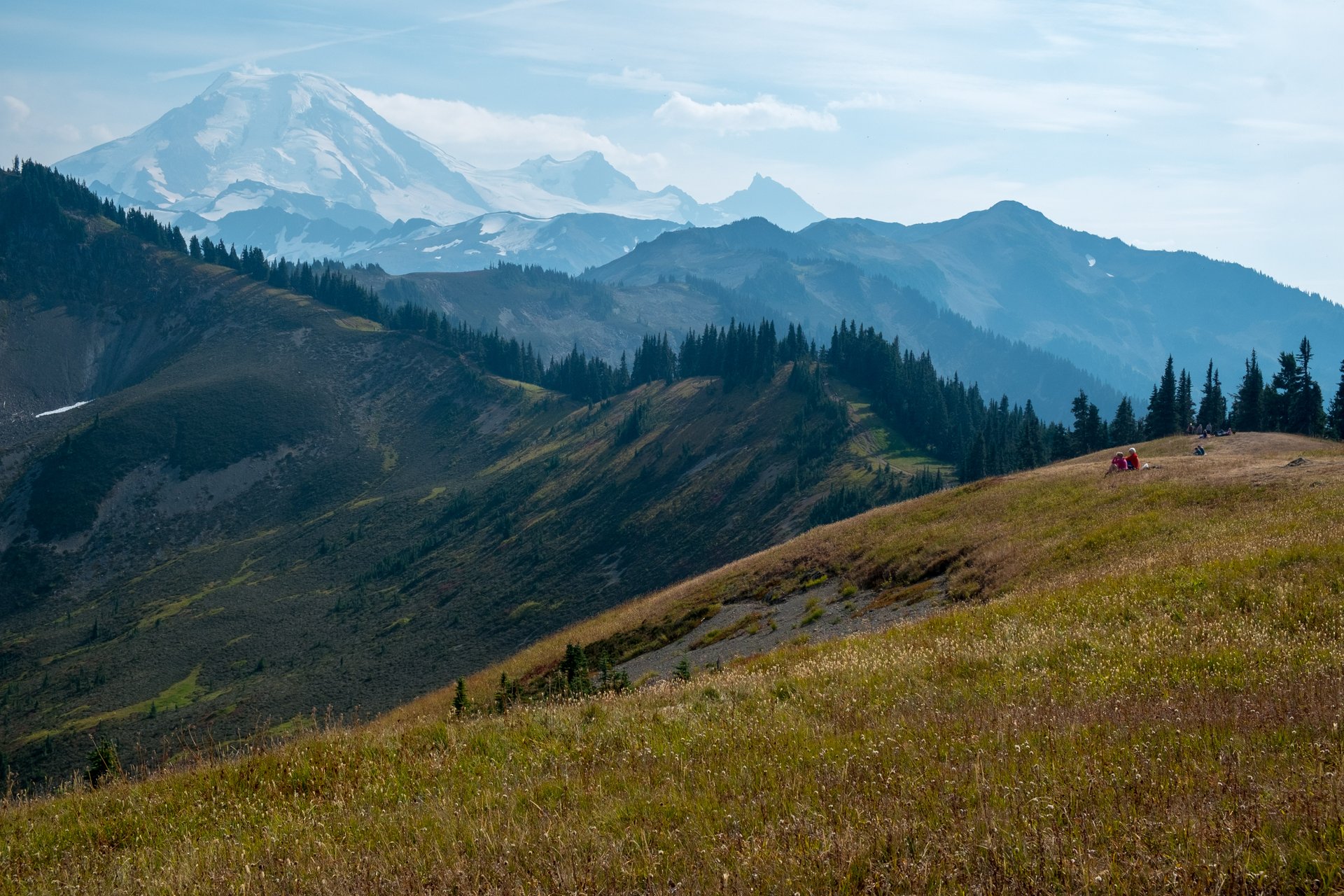
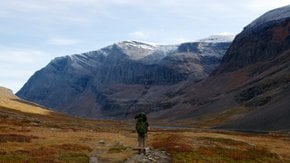
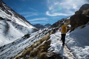
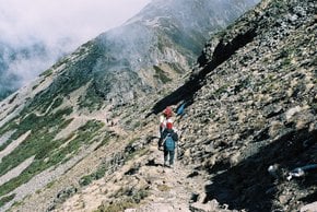
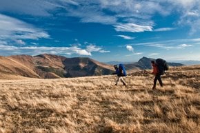
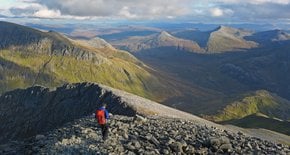
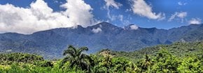
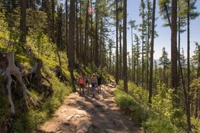
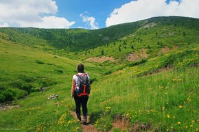
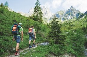
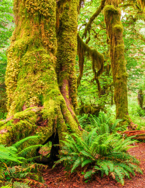
Skyline Divide is a 1,828-meter (6000-foot)-high extension of Mount Baker (also known as Koma Kulshan) near Glacier, Washington that becomes a beautiful Alpine meadow in the summer, full of wildflowers and stunning views. This is one of the most popular hikes in the Seattle area so don't be surprised to see it crowded. Dogs are also allowed but have to be kept on a leash. From the trail head, you pass the forest and transition into Mt. Baker Wilderness with its lush green open meadows offering stunning views of Mt. Baker. The trail goes along Skyline Divide offering stunning views of rivers and surrounding peaks.

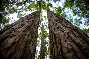
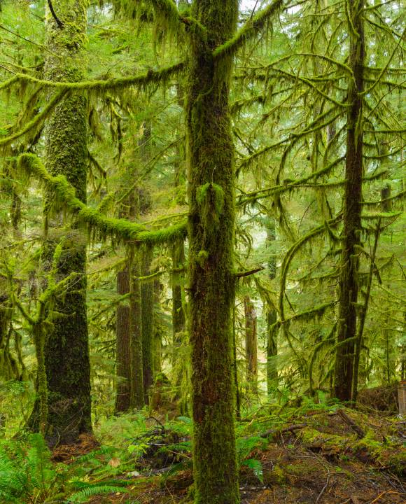
The best time to see wildflowers along the Skyline Divide Trail is in July and August. You can spot aster, fireweed, lupine, arnica, oxeye daisy, valerian, bistort, foamflower, glacier lily, cow parsnip, and lots of other flowers along the trail. The forest features western hemlock, mountain hemlock, and silver fir. Edible huckleberries can be seen in fall. The path gets very beautiful in September when leaves start to turn gold.

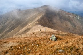
Skyline Divide Trail is about a 14.5-km (9-mile) long round trip. It is a popular route for hiking, camping, backpacking, and wildlife viewing from July until October, and if the weather permits so. The elevation gain along the trail is 760 m (2500 ft).

The Skyline Divide Trail is about a three-hour drive from Seattle. To get to the trail head, drive east from Glacier on State Highway 542 for approximately 1 mile, then turn right onto Glacier Creek Road and left on Deadhorse Road. It will take about 20 km (13 mi) to get to the trail head.

Practical info

What sets the Skyline Divide Trail apart from other trails?

The Skyline Divide Trail stands out for offering awe-inspiring vistas of the rivers and peaks, complemented by lush meadows full of wildflowers ranging from aster and lupine to glacier lily and arnica. Hikers will notice the presence of western hemlock, mountain hemlock, and silver fir trees, and savor the varied natural settings. Accessible from Seattle throughout summer and autumn, this trail makes for an unforgettable adventure. Show more

Is there a specific time of year when hiking Skyline Divide Trail is most enjoyable?

Hiking Skyline Divide Trail is incomparable between July and October as this is when the wildflowers are at their glory, and the fall season takes over, turning leaves gold. Hikers can bask in the incredible 360-degree views of Mount Baker and immerse themselves in the varied natural environments that offer diverse experiences based on the season and the different types of blossoms and trees they see. Show more

Can I hike the Skyline Divide Trail with my children and pets?

Yes, hikers can bring their dogs on the trail, but they should leash them always to safeguard the flora and fauna. Skyline Divide Trail welcomes families, and there are no age-specific restrictions around the hike. However, visitors should ensure they are up for a considerable challenge, well-prepared, and equipped for the long haul as this challenging trail spans over 14.5 km (9 miles), and completing it can take up to six hours with stops. Show more

What is the total distance and time needed to hike Skyline Divide Trail?

Skyline Divide Trail is an extensive path, stretching over 14.5 km (9 miles) and taking about six hours to traverse round trip. The hike offers a challenging yet rewarding experience with magical views of Mount Baker and adjacent peaks and rivers, but the trail necessitates hikers to stand well equipped and trained for the distance and elevation gain during the hike. Show more

How can I find my way to the Skyline Divide Trailhead?

The journey to Skyline Divide Trailhead requires driving east from Glacier on State Highway 542 for approximately 1 mile, then turning right onto Glacier Creek Road and left onto Deadhorse Road. After driving for about 13 miles (20 km), visitors will reach the trailhead, where they can park their vehicles and commence their expedition. Before embarking on the trip, travelers should refer to the latest travel advisories and weather updates. Show more

Ask a question

Find hotels and airbnbs near Skyline Divide Trail (Map)

Last updated: by Eleonora Provozin