Alberta Highway 40 2026
One of the greatest and wildest drives in Canada
Best time: mid-June–November

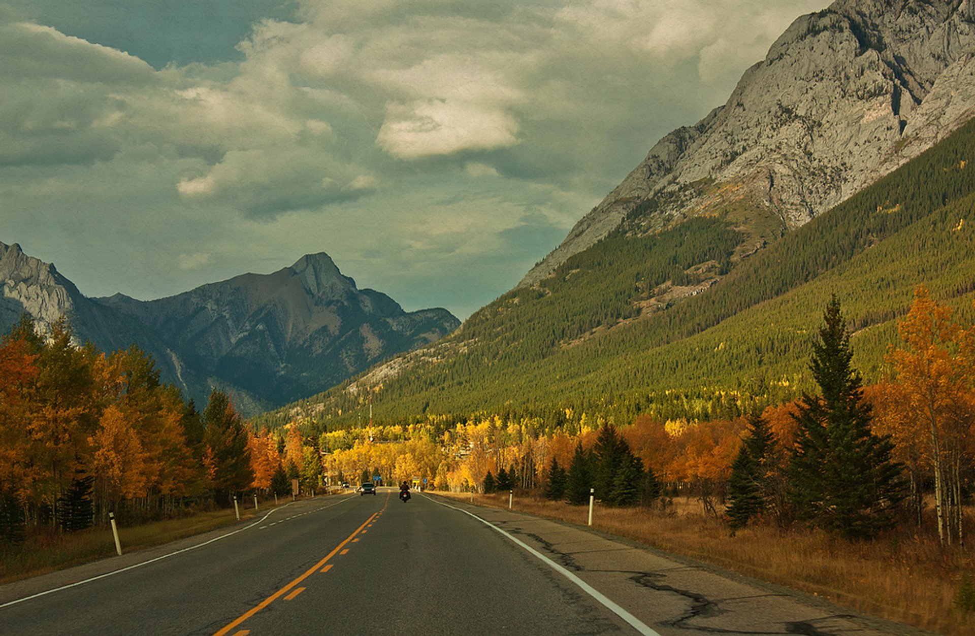

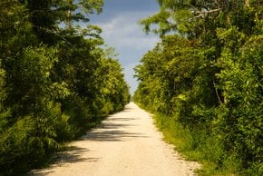
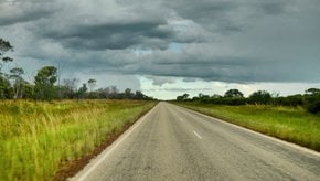
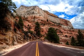
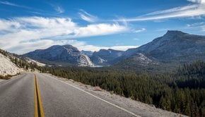
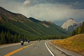
Alberta Highway #40 or Kananaskis Trail is a scenic 734-km (456-mi) road through western Alberta, Canada. The road consists of segmented sections and connects Coleman in Crowsnest Pass Municipality in the south to Grande Prairie in the north. The Highwood Pass is the highest point of the highway with an elevation of 7,238 ft (2,206 m). Highway 40 is mostly paved with some gravel sections.
When does Highway 40 in Alberta open
Alberta Highway 40 is always closed for the winter from December to mid-June. The opening date is June 15. However, mind that the road can be also closed temporarily due to wildlife sightings or certain weather conditions. So check with the Kananaskis Country advisory.
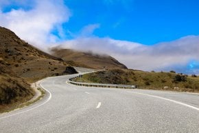
Scenic views along the trail
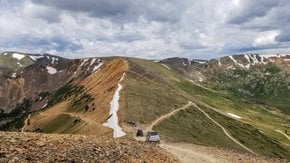
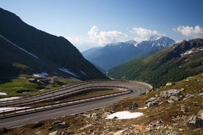
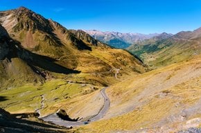
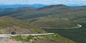
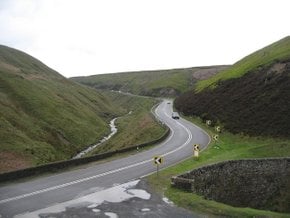
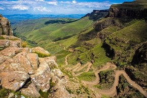
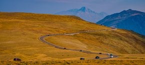
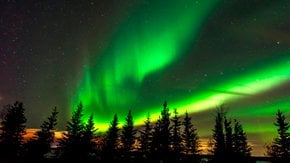
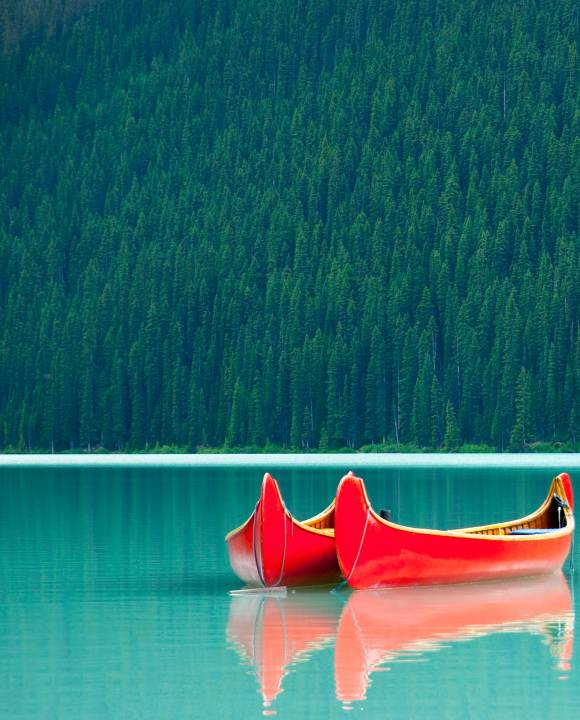
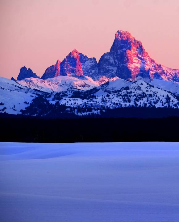
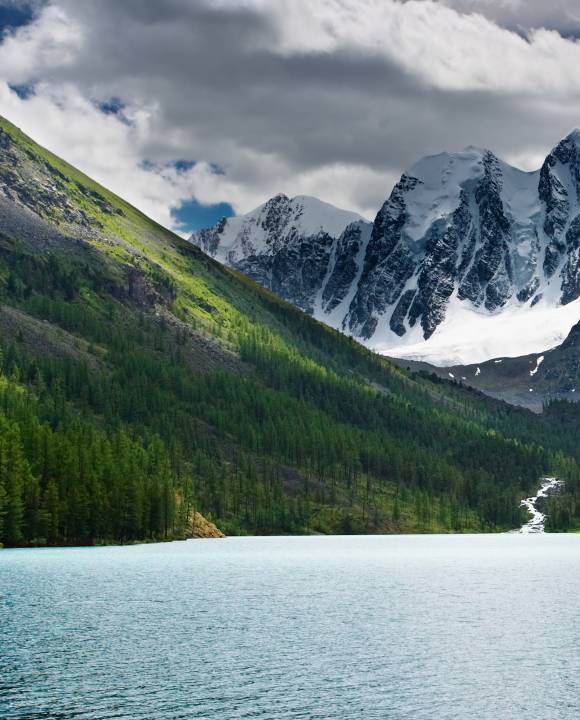
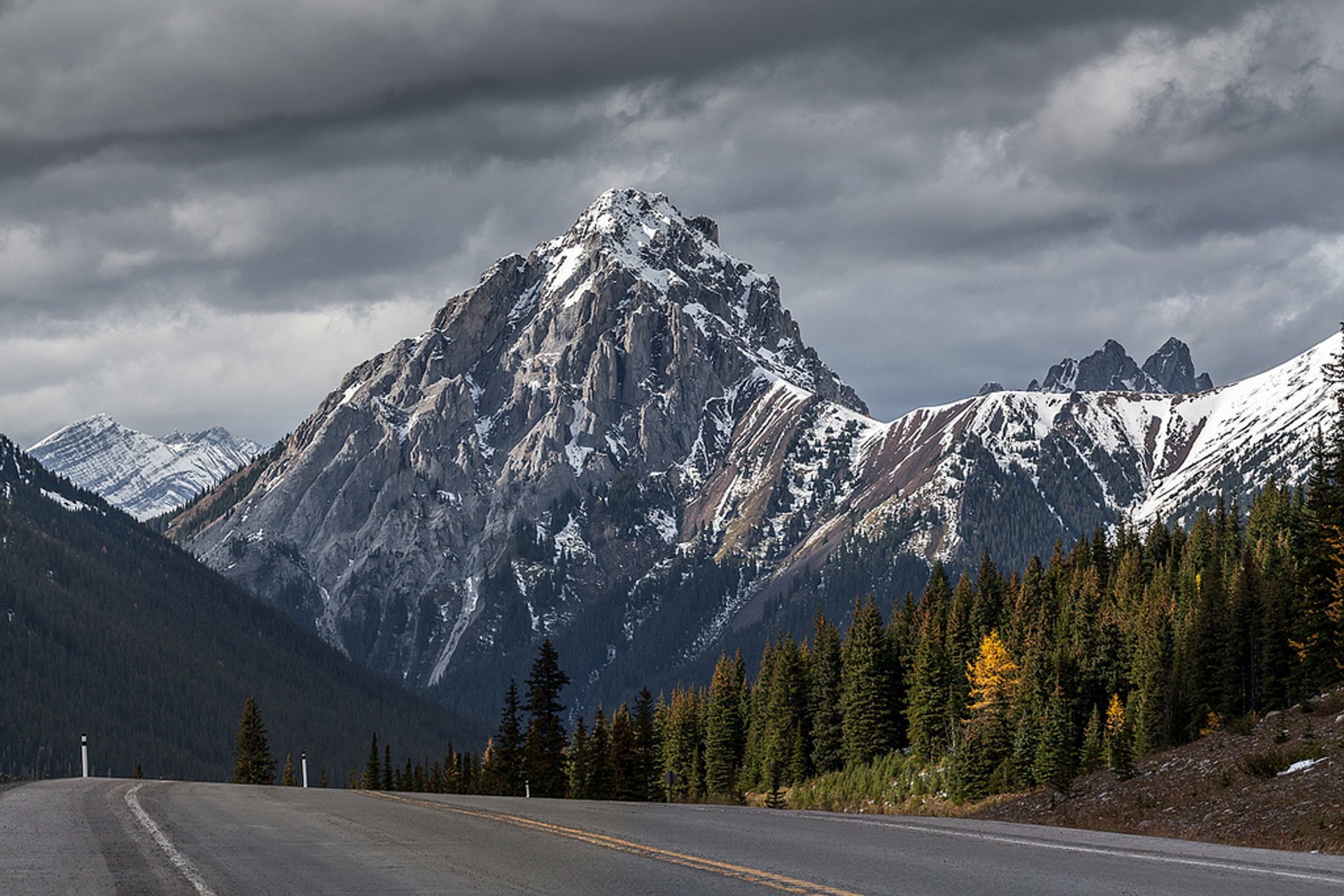
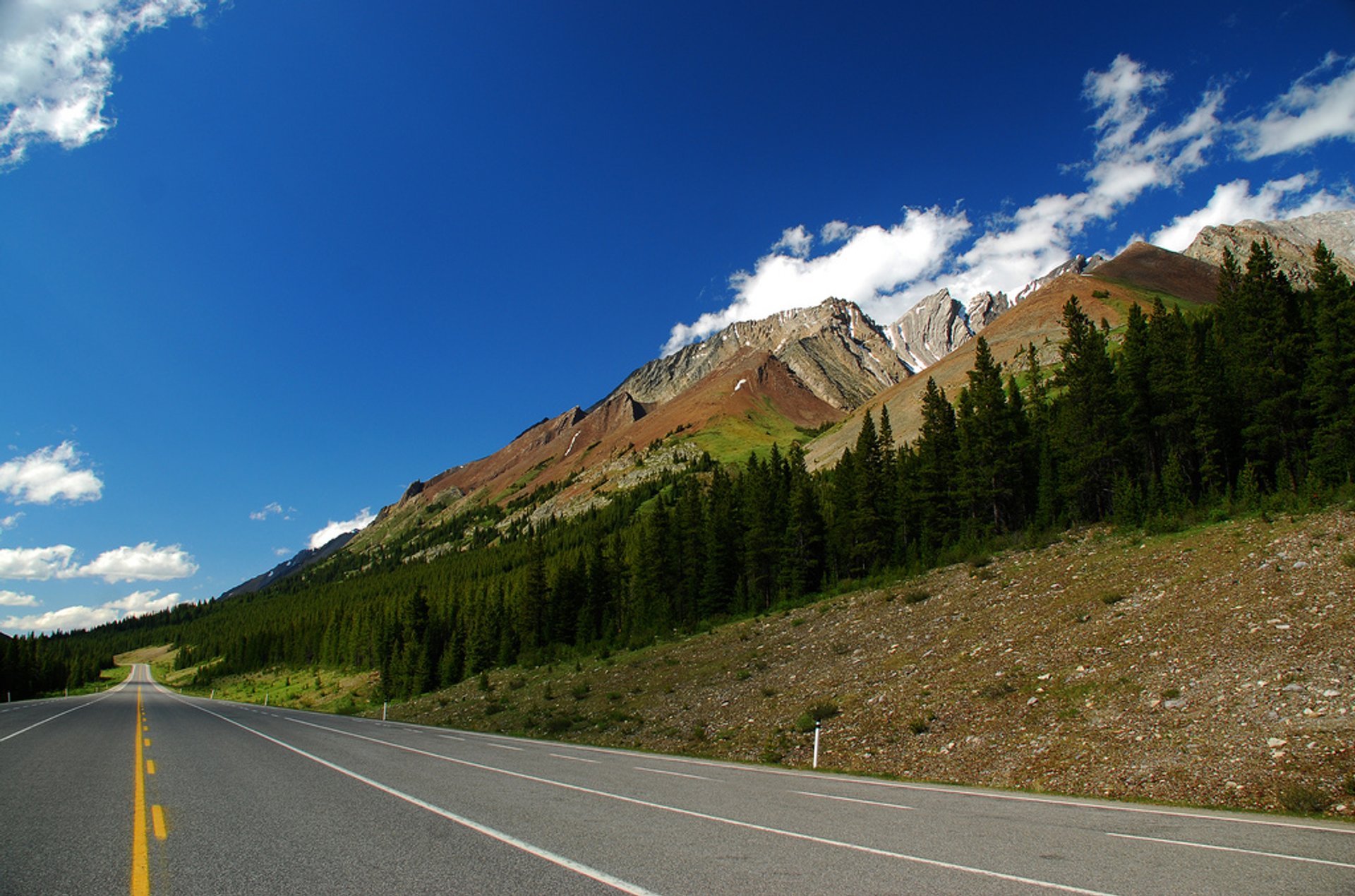
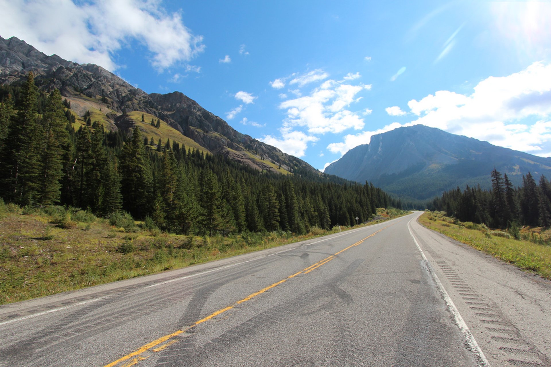
A 100-mi (160-km) trip along Kananaskis Trail from the Trans Canada Highway to Longview will take you through a kaleidoscope of landscapes: from broad prairies to the snow-capped peaks of the Rockies. Highwood Pass, the highest paved pass in the country, provides lots of opportunities for hiking within the Peter Lougheed Provincial Park. Enjoy scenic views of the Misty Range with the peaks of Mount Rae, Mount Arethusa, and the Elbow Pass.
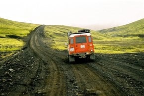
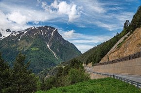
Alberta Highway 40 gravel sections
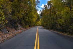
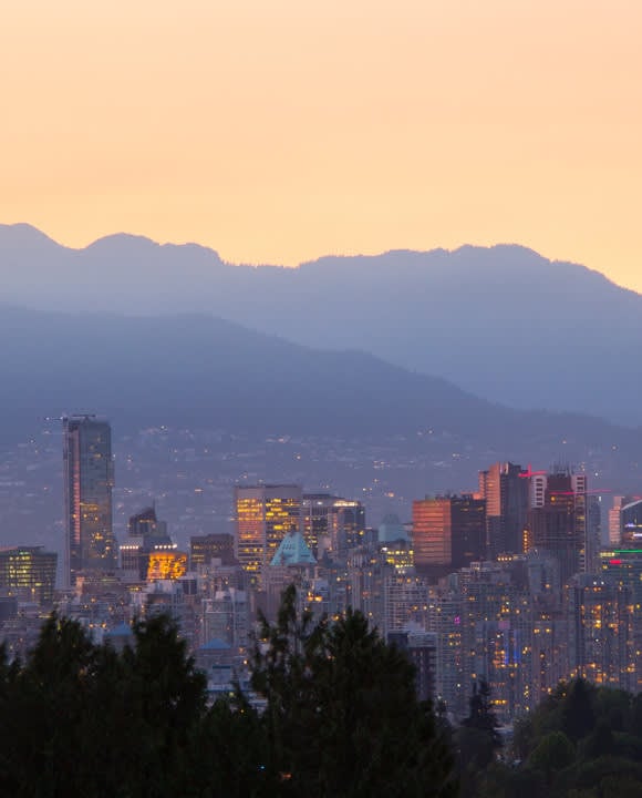
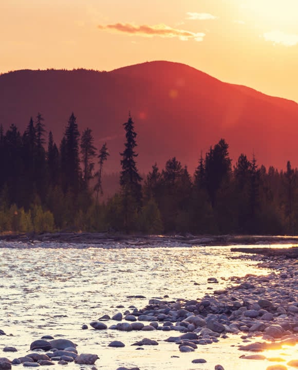
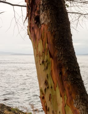
A 63-mi (102-km) gravel section of Alberta Highway 40 runs from the Municipality of Crowsnest Pass to Highway 541. Another gravel section runs for 182 mi (293 km) through the Rocky Mountains Forest. It is also called Forestry Trunk Road (Highway 734). You can get there from Calgary going west on Highway 1 to Highway 40 or Highway 1A to the junction with Forestry Trunk Road east of Ghost Lake. The scenic highway is a great way to discover Canada. Visitors will be rewarded with abundant wildlife, such as grizzly bears, elk, moose, mountain goats, and coyotes.
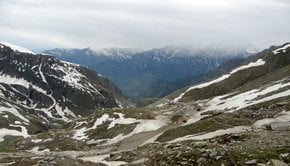
Hiking trails along Highway 40
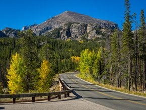
Kananaskis Country offers some of the most impressive hiking trails that are also not so crowded. Rawson Lake and Sarrail Ridge Trail in Peter Lougheed Provincial Park is a great option since it's easily accessible from Highway 40 via a small detour by Highway 742. The trailhead is located on the south side of Upper Kananaskis Lake, and the route is just 4.8 miles (7.8 km) both ways. Chester Lake, located north-west of Mount Chester in Spray Valley Provincial Park, is another spectacular hiking destination in the area. Ptarmigan Cirque and Highwood Pass, just off Hwy 40, is a must-see in Kananaskis Country due to its scenic mountain views and wildflowers. The 2.2-mi (3.5-km) mountaneous route starts in the Highwood Pass. It's most lovely in the fall, with golden hues all around.
Where to stay
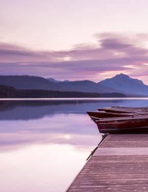
Along Highway 40, you can find many designated campsites with various degrees of service from none to hot water showers and electrical plugs. For those who prefer more comfy accommodation, the towns and cities are within an hour or two from the highway with plenty of hotels to choose from.
The Highway 40 road trip would take about two days to complete by car. It's also possible to ride a bike, but keep in mind that the gravel sections of the road are rather challenging. Additionally, trucks passing by are a frequent hazard.
Practical info
External resources
Find hotels and airbnbs near Alberta Highway 40 (Map)
People interested