Best time to visit Yosemite

Tioga Road in Yosemite

The highest highway pass in California and Sierra Nevada Mountains

Best time: late May–October

Tioga Road
Tioga Road
Tioga Road
Tioga Road

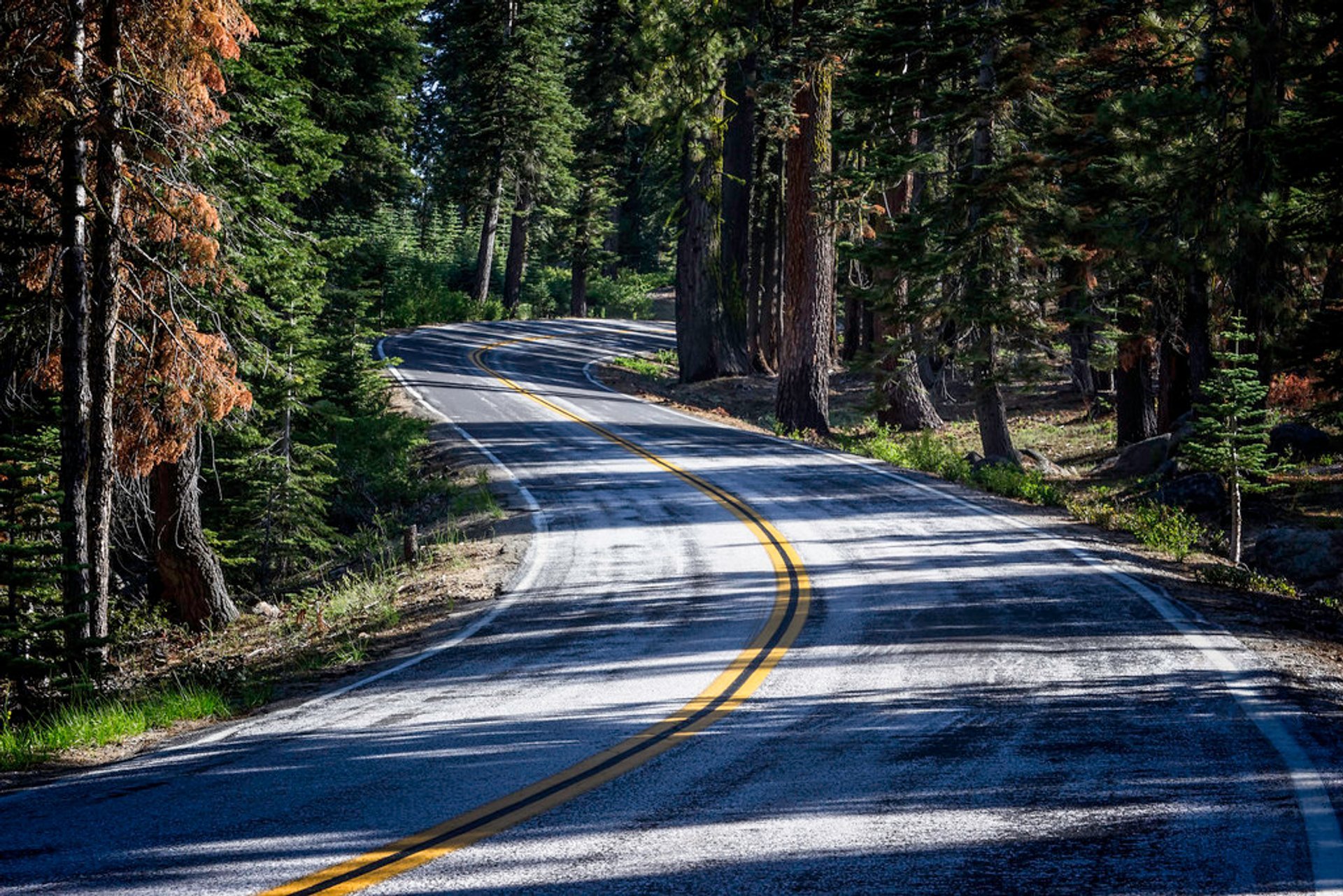
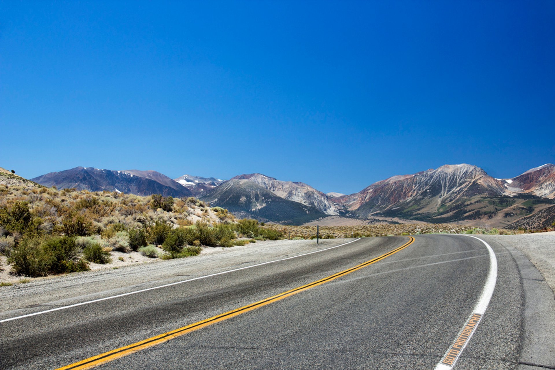
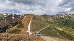
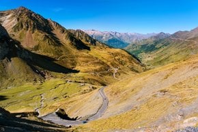
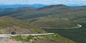
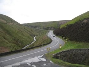
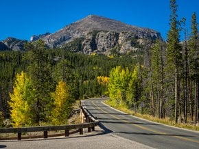
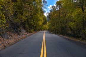
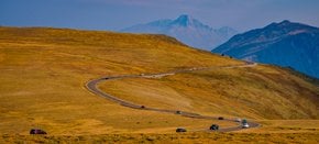
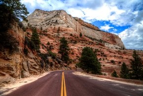
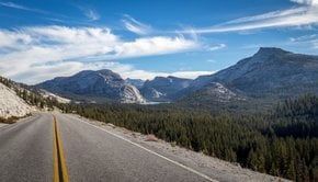
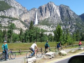
Tioga Road is a section of California State Route 120, located in Sierra Nevada mountains, in Mono County, California. It includes the eastern entry point for Yosemite National Park, at the Tioga Pass Entrance Station. Tioga Road has the length of 63 km (39 mi), stretching from Crane Flat to Lee Vining. It runs by Olmsted Point, Tenaya Lake, Tuolumne Meadows, and peaks on Tioga Pass with an altitude 3,031 m (9,945 ft) above sea level.

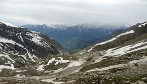
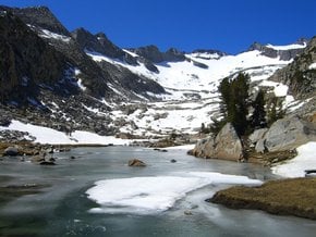
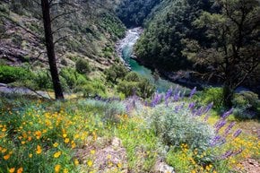
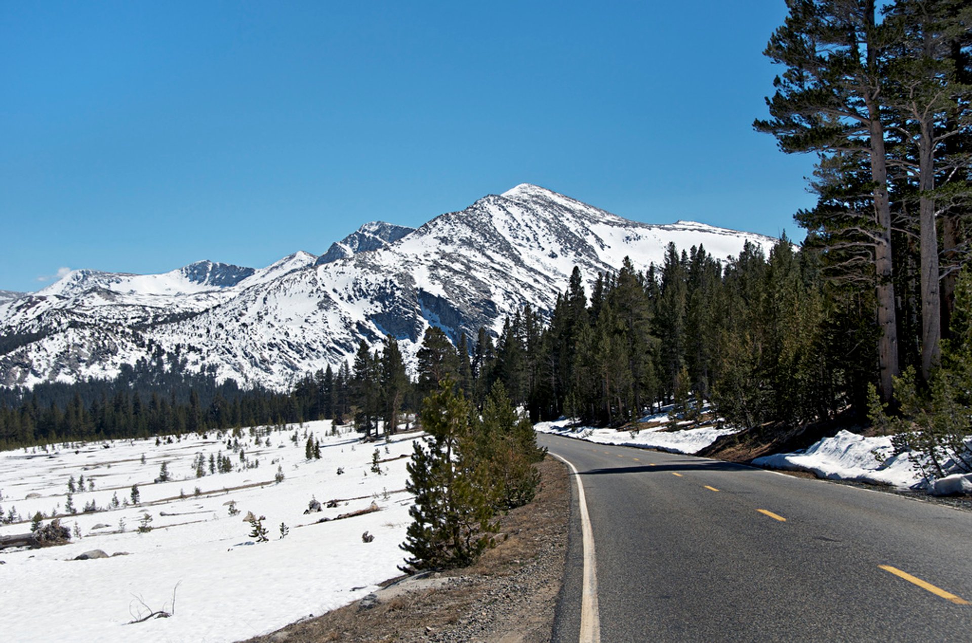
The scenic road offers a view of Mount Dana and a few trail heads that start at Tioga Pass and continue into Yosemite. It includes the trail to the Gaylor Lakes and the trail to the Mount Dana summit. Below the road lie picturesque Dana Meadows with several lakes. Drivers pass forests, meadows, lakes, and granite mountains. It ends at the salt water Mono Lake, nestled among tufa towers and rugged peaks. Tioga Pass was named after Tioga Mine, that has got its name from an Iroquois and Mohawk word "tioga" which means "where it forks." The road was built in 1882-1883 for mining purposes and was modernized in 1961.

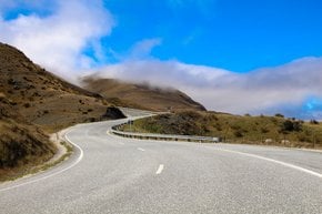
The road is open to traffic from late spring through mid-fall. It usually gets closed after the first significant snowfall of November. In some years it has remained closed as late as early July due to abundant snow. Tioga Pass road is the shortest route from Bishop or Mammoth Lakes, California to Fresno, Merced, and Stockton.

Practical info

When is the best time to visit Tioga Road in Yosemite?

For visitors planning to take in the incredible scenery and picturesque landscapes along Tioga Road in Yosemite, the ideal time to visit is from late May until October. However, the road may sometimes remain closed until early July due to snowfall. Before heading out, visitors must check with park officials for road conditions. Show more

Where can I see the best view of Mount Dana while driving on Tioga Road?

From the eastern side of Tioga Pass, which is about 2 miles east of the pass summit, visitors can get the best view of Mount Dana. A parking area situated on the north side of the road offers panoramic views of the mountain. Besides Mount Dana, visitors can enjoy viewing Mount Gibbs, Mono Lake, and other peaks from different points along the road. Show more

What are some hiking trails that start at Tioga Pass and lead to Yosemite National Park?

Visitors can explore Yosemite's unique wilderness areas through several trailheads that start from Tioga Pass, including the Gaylor Lakes and Dana Meadows. Along Gaylor Lakes, visitors can have an incredible view of the Sierra high country and Granitic boulders. At Mount Dana’s trailhead, visitors can explore the second-highest mountain in Yosemite National Park while the Pacific Crest Trail stitches across Tioga Pass. Show more

When does Tioga Road usually close for the winter season?

Typically, after the first significant snowfall in November, Tioga Road shuts down for the winter season. However, the road may remain closed due to abundant snow in the area until early July. Visitors must have updated information on road closures. Therefore, Yosemite National Park officials should be consulted by visitors before planning their trip. Show more

Where is the Tioga Pass Entrance Station located and what services does it offer to visitors?

The Tioga Pass Entrance Station is located at the east entrance to Yosemite National Park, on Tioga Road. This entrance station offers visitors essential information on park rules and regulations, trails, and campsites. Visitors can purchase souvenir items here too. At an elevation of 9,941 feet, visitors enjoy panoramic views of the surrounding rocky mountain landscapes. Show more

Ask a question

Find hotels and airbnbs near Tioga Road (Map)

Last updated: