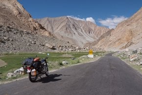
Best time to visit India

Leh–Manali Highway in India

An unforgettable journey along a scenic road in North India

Best time: June–mid-October

Leh–Manali Highway
Leh–Manali Highway
Leh–Manali Highway
'The highway dance', Leh-Manali Highway, Northern India
See accommodations nearby

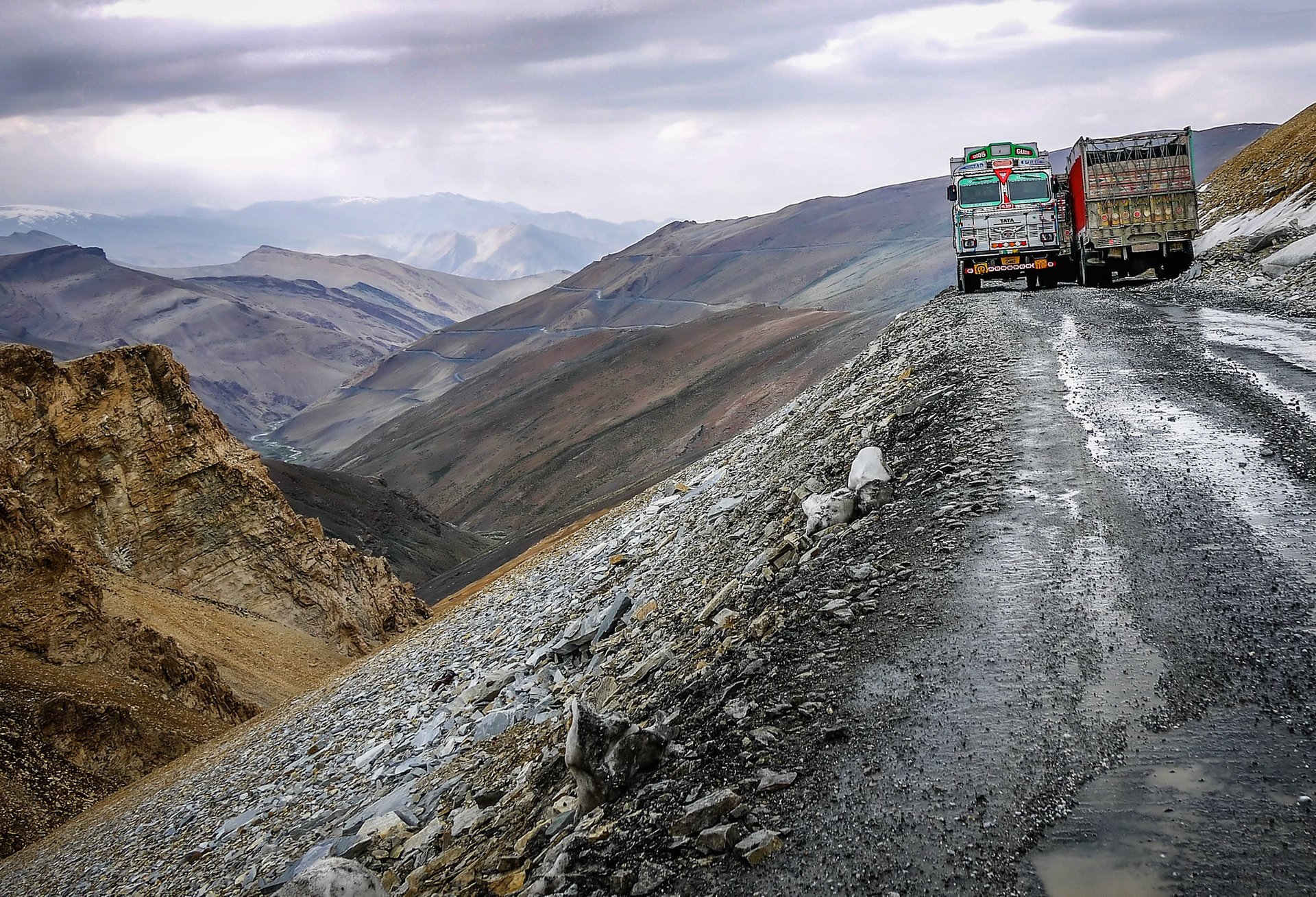
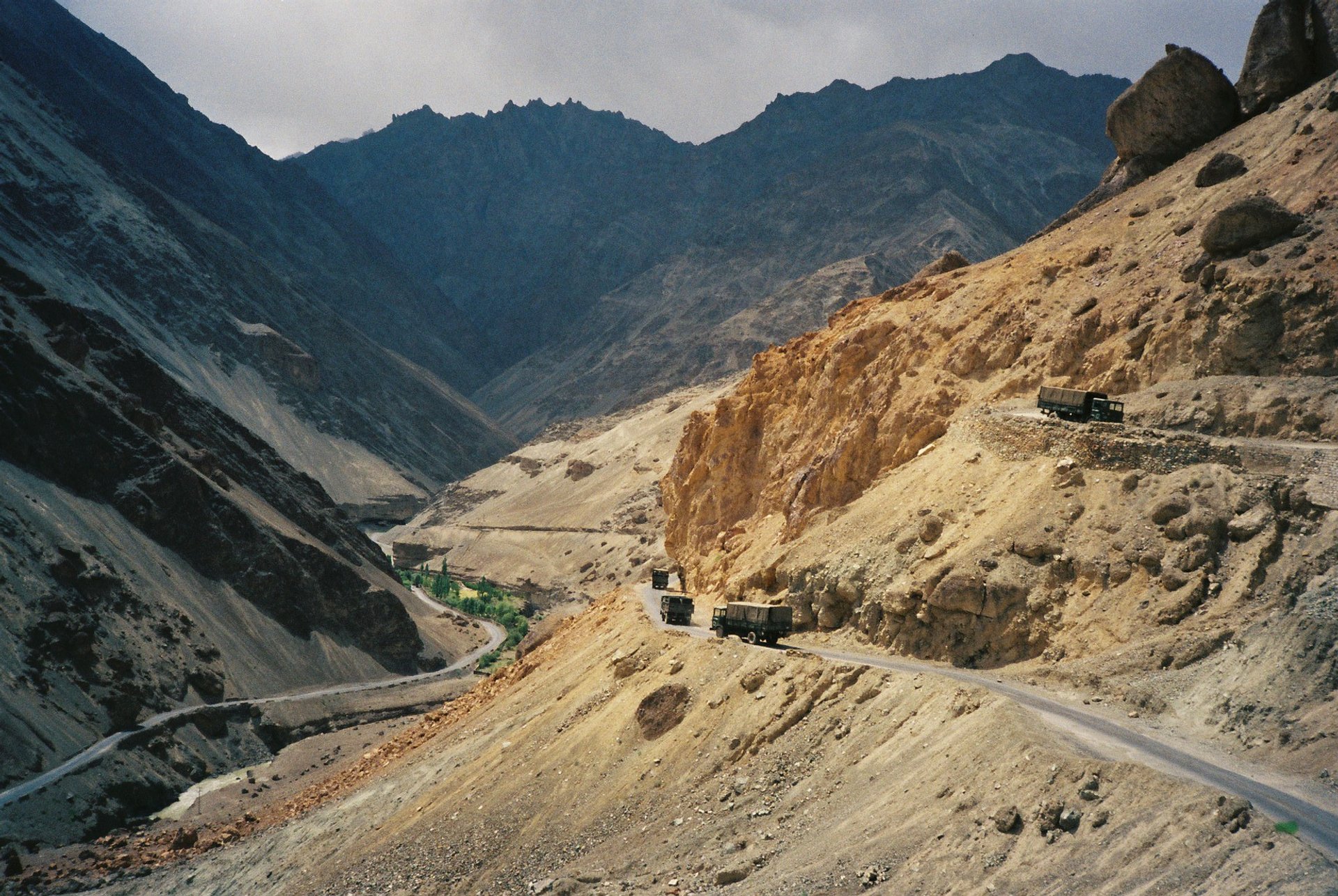
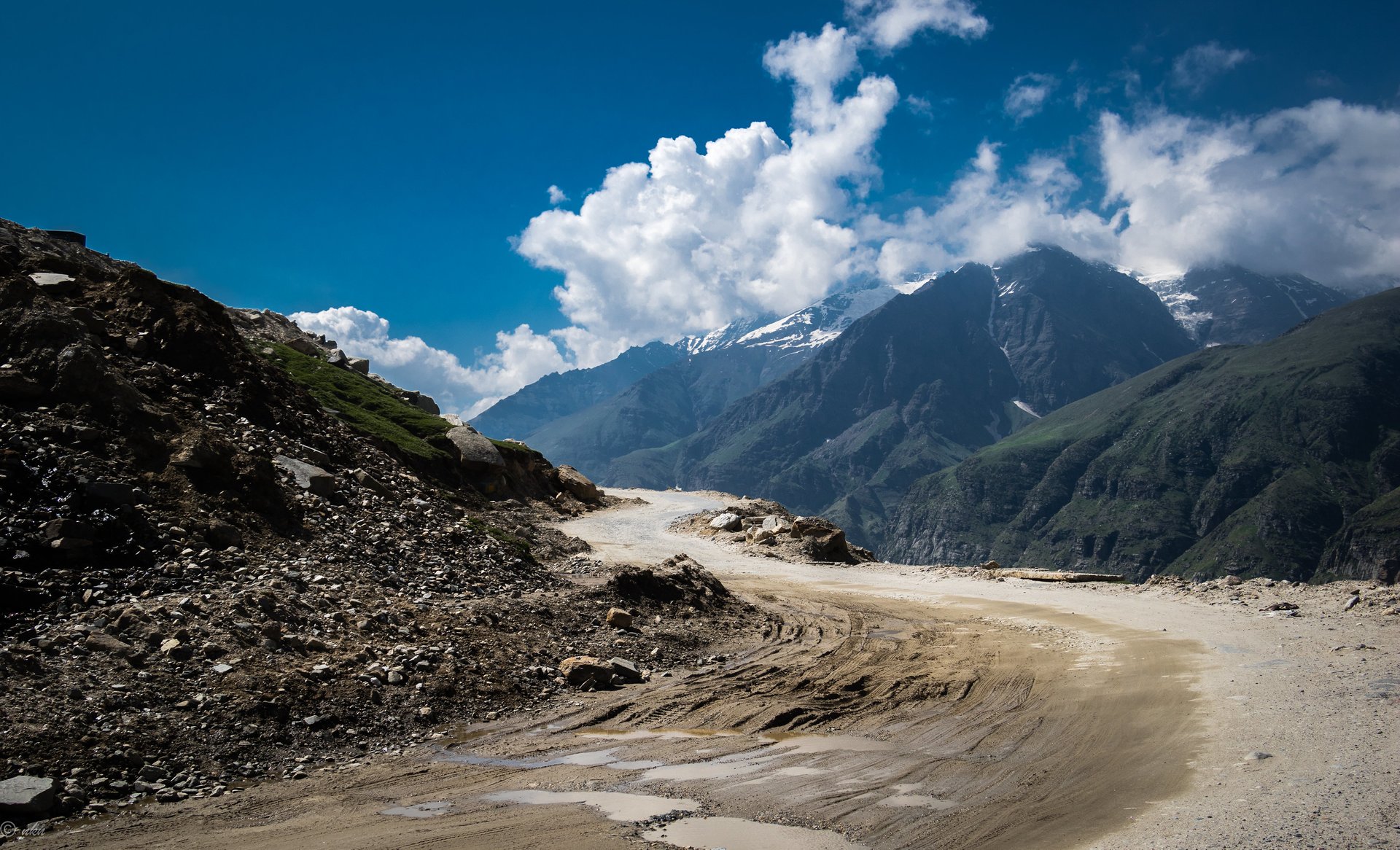
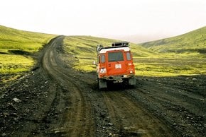
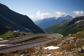
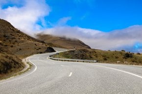
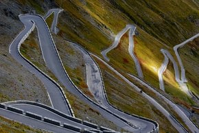
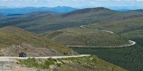
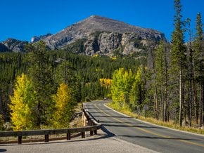
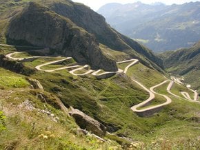
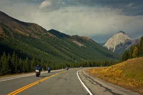
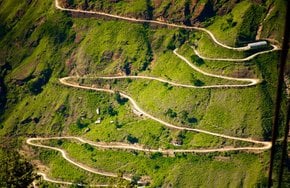
The Leh–Manali Highway is an incredibly beautiful highway in northernmost India connecting Leh in the region of Ladakh and Manali in Himachal Pradesh. It is open from May or June, when the snow cover is gone, to mid-October, when snowfall appears again. Being about 480 km (298 mi) long, the Leh–Manali Highway was designed and built and is now maintained by the Border Roads Organisation of the Indian army. It allows driving the most massive army vehicles.

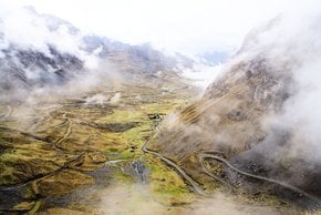
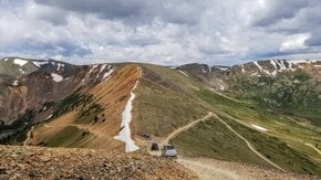
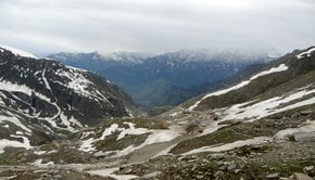
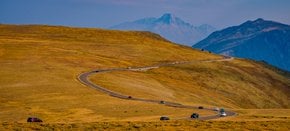
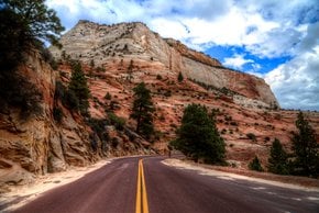
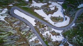
The highest elevation of the Leh–Manali Highway is 5,328 m (17,480 ft) at the Taglang La mountain pass. The average altitude of the road is above 4,000 m (13,100 ft). Flanked by mountain ranges on both sides, the highway features stunning rock and sand formations.

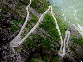
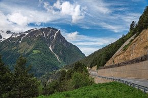
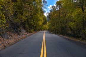
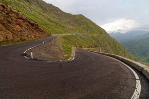
The Leh-Manali Highway is only two-lanes wide with one lane in each direction. It has more than a dozen Bailey bridges, some of which are in unsatisfactory condition. The road quality is poor here and there so that the high speed can cause discomfort, and even a little rainfall could bring dangerous landslides. Generally, the journey from Manali to Leh takes typically two days by bus or a full day by jeep but can take longer depending on the road and vehicle. Some adventurers choose to drive this scenic route on a motorbike or a mountain bike. Away from the noise of city life, this is a place where you could connect with nature.

Practical info

When is the best time to visit Leh-Manali Highway?

The ideal span to visit Leh-Manali Highway is from June to mid-October, as the highway remains closed during winter, being heavily covered with snow. The closure happens due to the snow cover, and the road is generally open in May or June. On the other hand, it closes again in mid-October due to heavy rainfall and snowfall. Show more

What is the highest elevation point of Leh-Manali Highway?

At the Taglang La mountain pass, Leh-Manali Highway attains its peak altitude, reaching 5,328 m (17,480 ft) above sea level, while on average, the road stands above 4,000 m (13,100 ft) altitude. Leh-Manali highway's terrain is speckled with breathtaking rock and sand formations, surrounded by towering mountain ranges. Show more

How long does it take to travel from Manali to Leh?

Typically, a journey from Manali to Leh takes two days on the bus or a whole day on a jeep, with around 480 km (298 mi) distance covered of treacherous mountainous roads. Although several factors like weather, road conditions, and unexpected roadblocks can cause delays, so it might be wise to set aside a few extra days in such cases. Show more

What is the road condition like on Leh-Manali Highway?

While riding on the Leh-Manali Highway, one will come across a road that is only two lanes wide with one lane in each direction. The road conditions can be poor in some areas, leading to discomfort when driving at high speed. The road is highly vulnerable to landslides during the rainy season, leading to travel disruptions. However, travelers can not be dissatisfied while passing through such a magnificent place. Show more

Can I drive a motorbike or a bicycle on Leh-Manali Highway?

Leh-Manali Highway allows riding a bicycle or a motorbike, which is a delightful and adventurous experience. One can also drive a car or jeep across the highway that would also provide a unique driving experience. However, travelers must equip themselves with the necessary safety gear and make sure that they are healthy enough to take the challenging ride. The route demands an unparalleled driving ability and could turn out to be burdensome for beginners. Show more

Ask a question

Find hotels and airbnbs near Leh–Manali Highway (Map)

Last updated: by Dari Vasiljeva