Webster and Red Cone Pass Trail in Colorado 2026
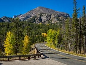
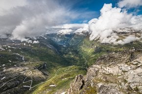
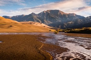
A perfect ride for a 4WD with scenic views of the Continental Divide
Best time: late June–September
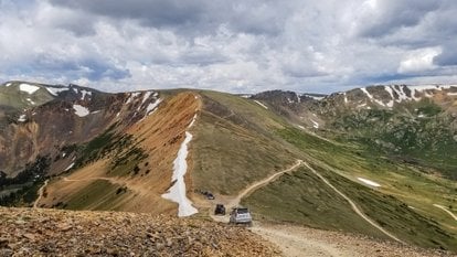
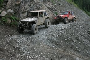
People often search for Webster Pass and Red Cone Pass separately. However, the two of them make up Webster and Red Cone Pass Trail, an 18-mi (30-km) loop that can be accessed from road 285, near the town of Montezuma about a two-hour drive from Denver. Both summits are usually covered in one day, as you drive from the Red Cone Pass down to Webster Pass. The trail can either be hiked or conquered in a high-clearance 4WD.
Red Cone Pass
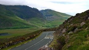
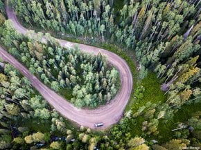
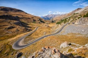
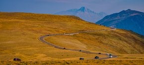
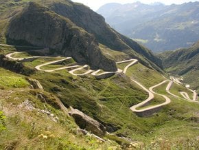
Red Cone Pass is a steep and rocky trail climbing Red Cone Peak to an elevation of 12,801 feet (3,902 m) above sea level. The pass is located near Dillon, Park County, within Pike National Forest and is one of the most unusual dirt tracks in Colorado due to its color and shape. The pass can only be reached via a steep gravel road. Mind that driving along the edge of the slope can be rather dangerous, and is suitable for experts only. However, the drive's scenic views and occasional encounters with mountain goats are worth taking the risk.
Webster Pass
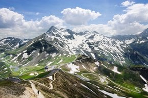
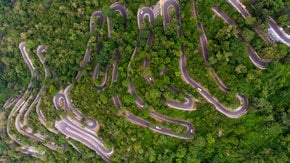
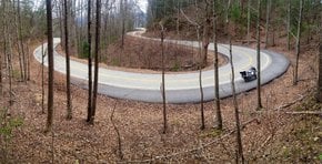
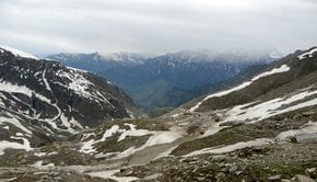
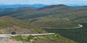
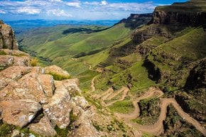
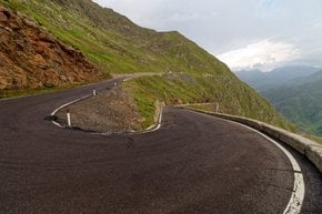
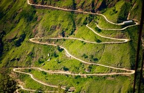
Webster Pass crosses the Continental Divide in the Front Range of the Rocky Mountains. The Road is located south of the semi-ghost town of Montezuma within White River National Forest at an elevation of 12,103 feet (3,689 m). The picturesque drive follows Snake River, notorious for a few switchbacks to beware of.
When is Webster/Red Cone Pass open
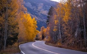
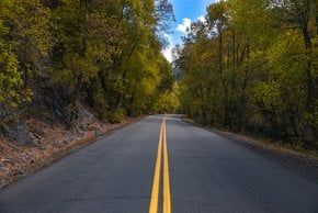
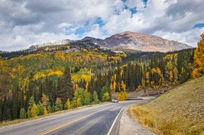
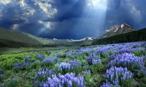
Webster and Red Cone Pass Trail is usually accessible for OHV (off-highway vehicles) between May and October. However, the best season for Red Cone Pass is late June through September, and for Webster Pass—July through October. The safest road conditions are observed in late August and early September when the snow melts entirely. If you come at a different time, please check whether there's no snow blocking your way, because it can be impossible to turn around on a one-way road. If you come late in the season, watch out for local fall foliage. Lastly, in winter, the trail is not maintained yet you can still get there via snowshoe.
Hall Valley and Handcart Campgrounds
Finding a dispersed campsite is not a problem—you'll have a lot of them along Webster Pass Road. Additionally, you can also choose from paid camping options situated at the southern terminus of the Webster and Red Cone Pass Trail. The two most popular choices include Hall Valley Campground and Handcart Campground, both managed by the US Forest Service. If you prefer to stay in a hotel, check out the map below.

