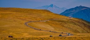
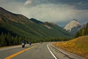
Best time to visit Colorado

Trail Ridge Road in Colorado

The so-called 'highway to the sky' is a kind of true inspiration

Best time: June–October (check updates)

Trail Ridge Road
Trail Ridge Road
Trail Ridge Road
Trail Ridge Road
Trail Ridge Road
Trail Ridge Road
Trail Ridge Road

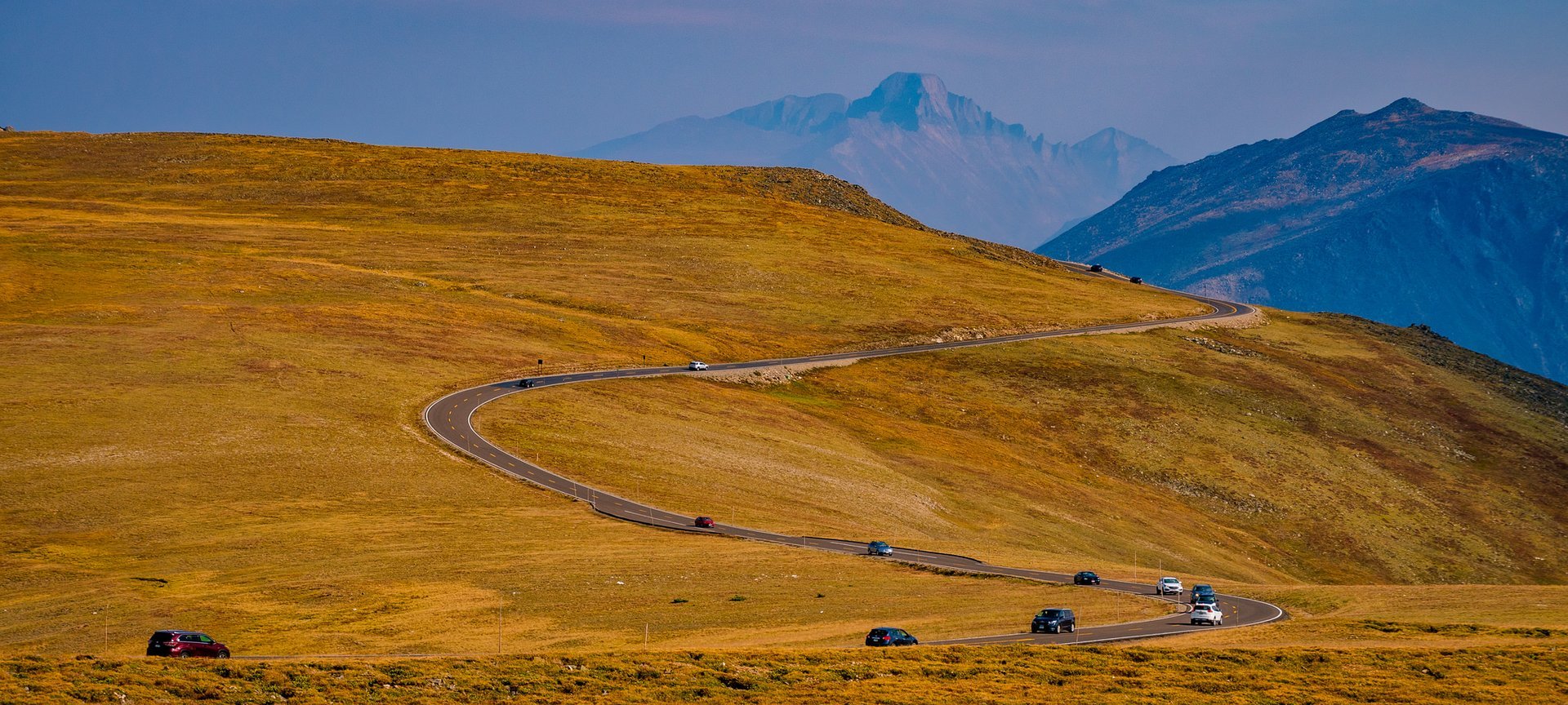
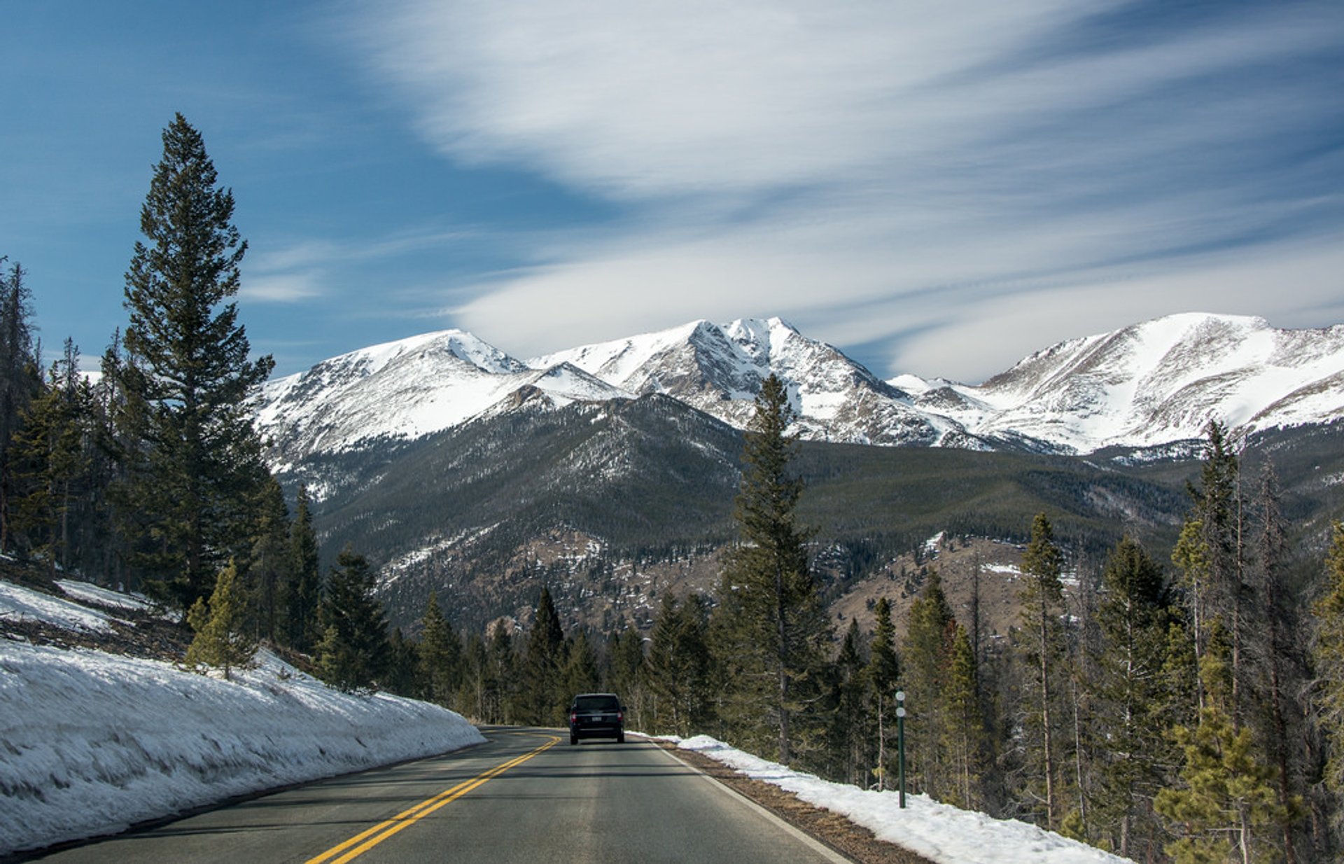
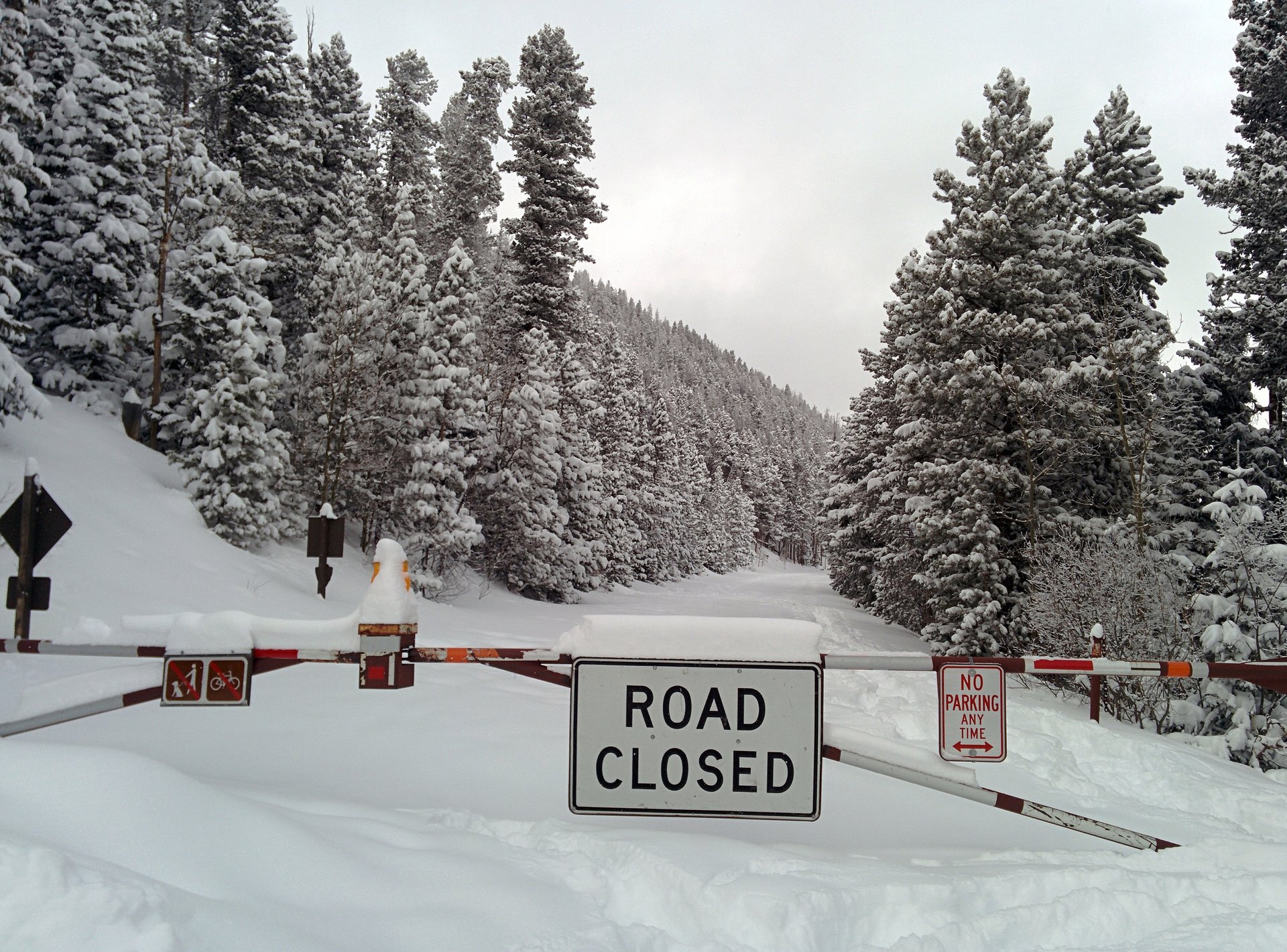
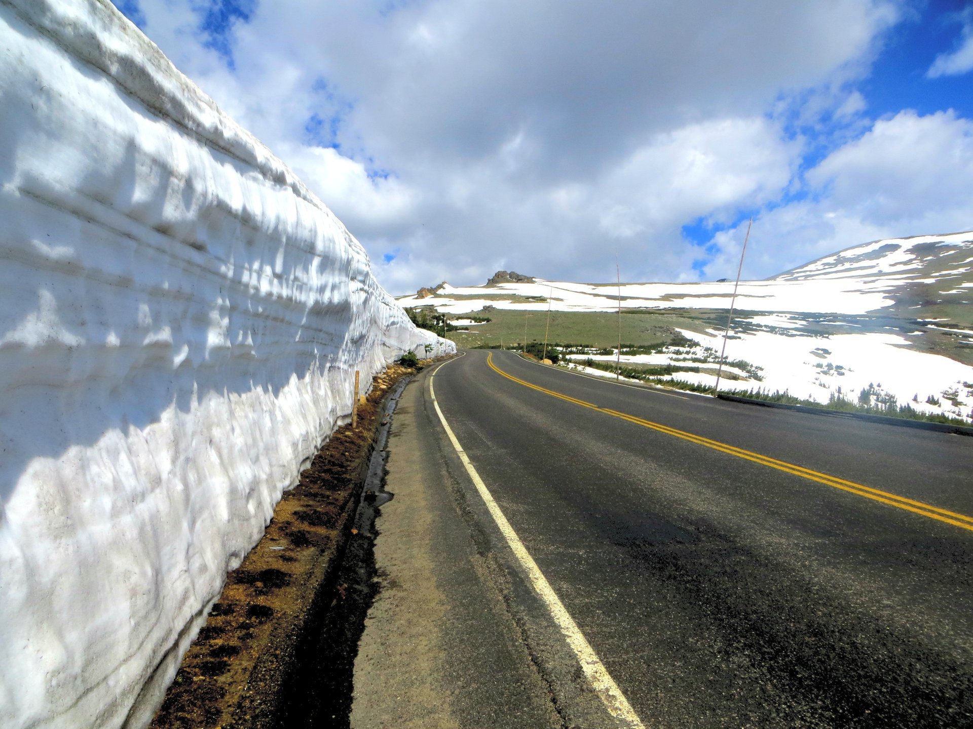
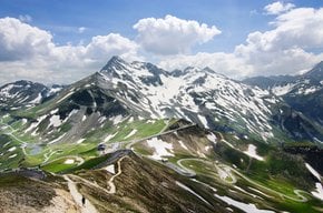
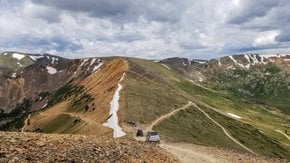
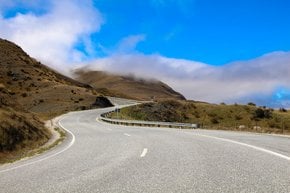
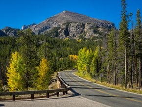
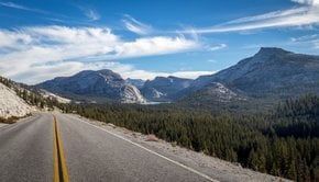
Trail Ridge Road is a stretch of U.S. Highway 34 that goes through Rocky Mountain National Park from Estes Park, Colorado, to Grand Lake, Colorado. It is also called The Beaver Meadow National Scenic Byway. Trail Ridge Road is closed during the winter season due to snow and is available from June to October contingent on whether the weather conditions will allow the road to be usable and safe

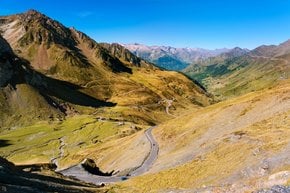
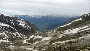
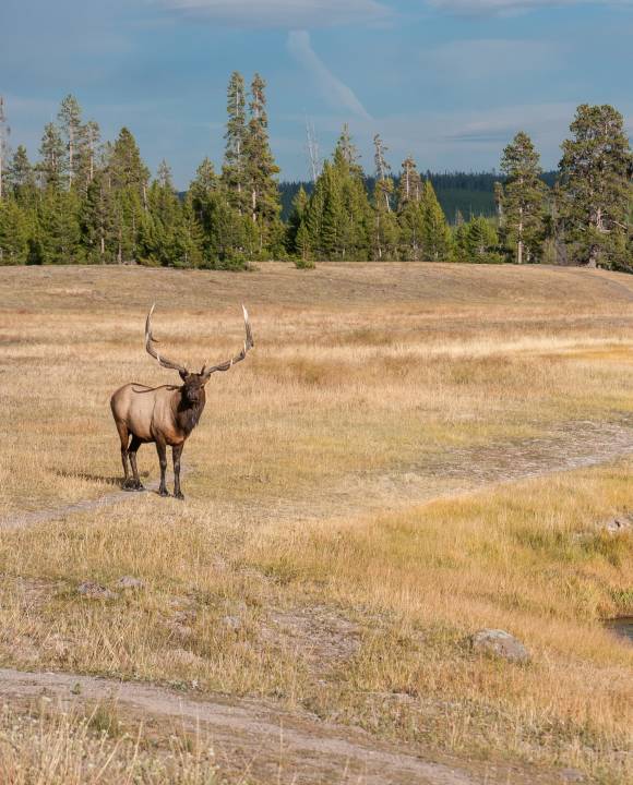
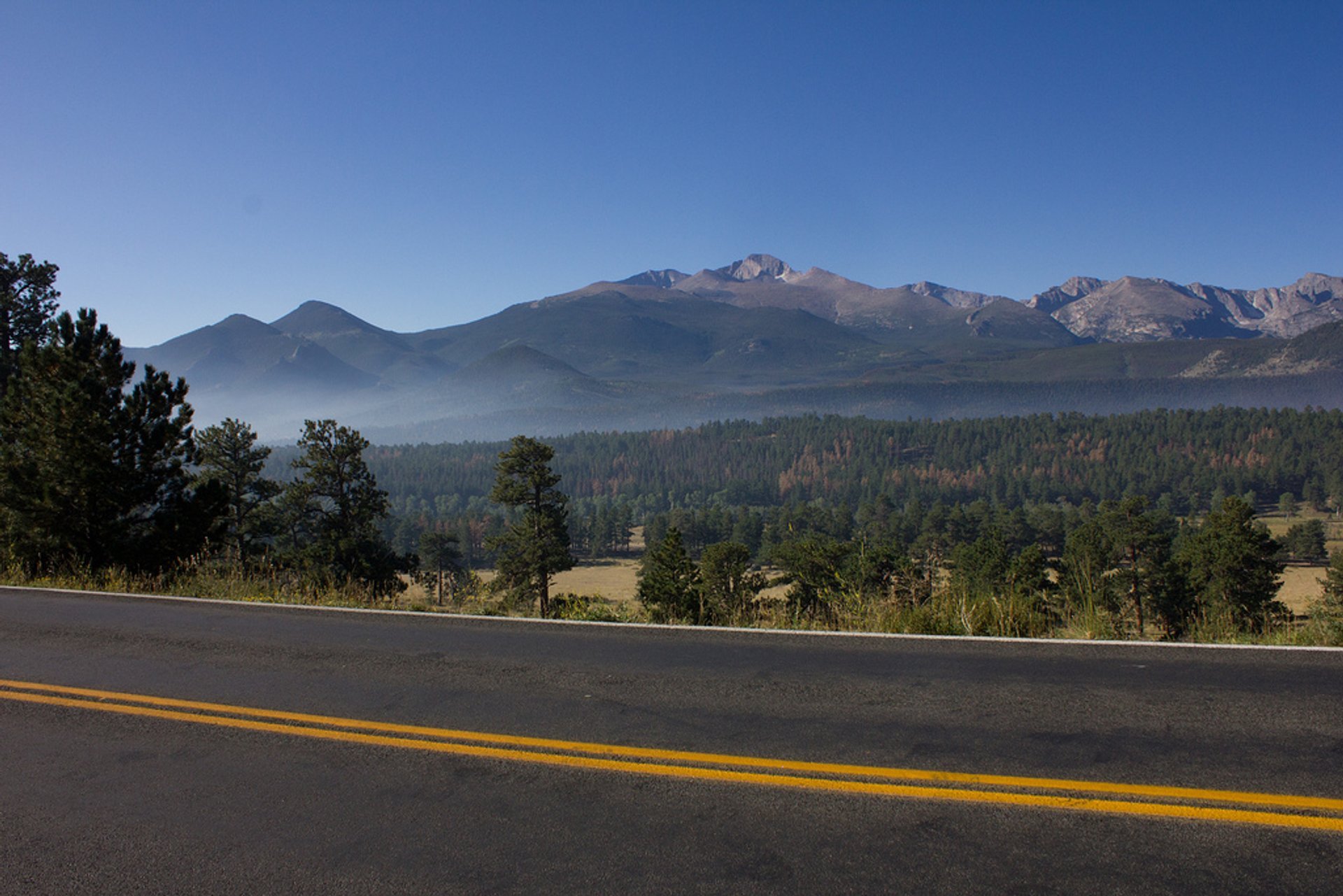
Trail Ridge Road features many scenic mountain peaks, such as Longs Peak, Pagoda Peak, Chief's Head and Mount Terra Tomah raising over 3,700 m (12,000 feet) above sea level. The road starts at Kawuneeche Visitor Center at the park's Grand Lake Entrance, then follows the North Fork of the Colorado River north, crossing the Kawuneeche Valley. Drivers pass the Continental Divide at Milner Pass 10,758 ft (3,279 m), Fall River Pass,11,796 ft (3,595 m), and Iceberg Pass, 11,827 ft (3,605 m), which is the highest point of the highway.

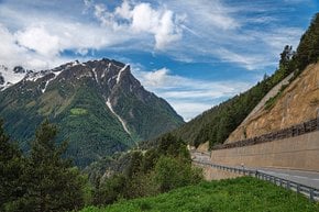
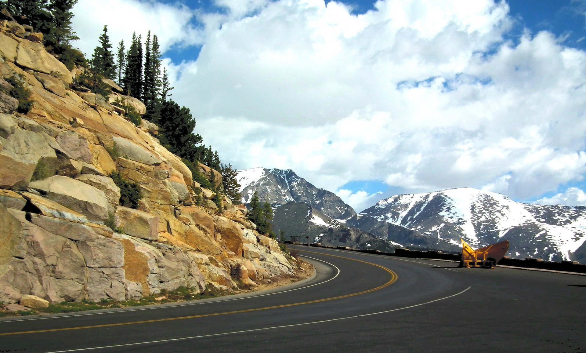
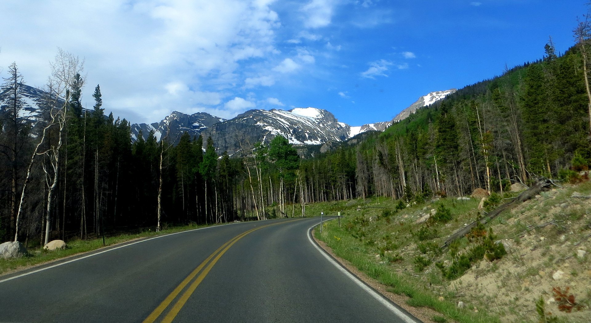
Trail Ridge Road was built in the 1930s, offering visitors of Rocky Mountain National Park access to breathtaking views, great wildlife sightings, alpine meadows with wildflowers, alpine tundra and subalpine forests of fir and spruce. Keep in mind that it's more windy and colder at high elevations all year round so take some warmer clothes if you decide to take a walk.

Check the updates on the road condition and closing dates on the NPS website.

Practical info

When is the best time to visit Trail Ridge Road in Colorado?

Trail Ridge Road in Colorado is best visited during the summer season, from June to October when the road is open and accessible. Keep yourself informed about the safety and usability of the road by checking the NPS website. During winter, the road may close due to heavy snowfalls. Show more

What is the length of Trail Ridge Road?

Stretching across U.S. Highway 34 from Estes Park to Grand Lake, Colorado, Trail Ridge Road is 48 miles (77 kilometers) long. If you drive the entire length without any halts, it will take you approximately two hours. However, you may want to spend time enjoying the wildlife and scenic vistas along the way. Show more

What is the highest altitude reached on Trail Ridge Road?

The highest altitude on Trail Ridge Road is at Iceberg Pass, reaching 11,827 feet (3,605 meters) above sea level. You will also cross several other mountain peaks such as Pagoda Peak, Longs Peak, Chief's Head, and Mount Terra Tomah. As the altitude is high, temperatures remain cold throughout the year and require visitors to prepare accordingly. Show more

What are some scenic features of Trail Ridge Road?

Tourists can enjoy distinct scenic features of Trail Ridge Road such as mountain peaks, alpine meadows displaying wildflowers, alpine Tundra, subalpine fir and spruce forests, abundant wildlife, and a stunning view of the surrounding mountains like the Mummy Range, Kawuneeche Valley, and the Never Summer Mountains. Show more

What precautions should be taken before taking a walk on the road?

As you plan to walk on Trail Ridge Road, keep in mind that the high elevations are windier and colder throughout the year. Always check the weather and road conditions beforehand and prepare yourself with layered clothes, a waterproof jacket, snacks, and plenty of water. Respect the wildlife and follow the park's safety guidelines to have a safe and memorable trip. Show more

Ask a question

Find hotels and airbnbs near Trail Ridge Road (Map)

Last updated: