Shafer Trail in Utah 2026
An iconic road is a must do while visiting the Canyonlands, but not for the faint-hearted
Best time: May–November
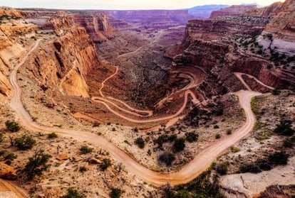
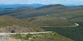
Shafer Trail or Shafer Canyon Road is a stunning drive and a premier hiking destination nestled in Canyonlands National Park, near Moab, Grand County, Utah. A 19.2-mi (31-km) dirt road boasts amazing wildflowers in the summer and is often covered with snow in the winter.
To go up to Shafer Trail, you have to start at Potash Road that at some point turns into muddy Shafer Trail Road that later on connects to White Rim Road and runs up to the Island in the Sky Road at the top.
Shafer Trail conditions
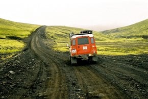
Even though Canyonlands is open year-round, Shafer Trail is often closed due to bad weather, especially in the winter. When it's open, it requires a 4WD vehicle with high clearance and low range gear. In the winter, your vehicle must be equipped with snow chains. It's also advised to bring a spare tire, extra gas, a shovel, and a high-lift jack. Avalanches, blizzards, heavy snowfalls, and landslides can occur anytime. Since weather conditions change rapidly, it's advised to consult with the Canyonlands website before you go. You do not need a day-use permit on Potash Road and Shafer Trail.
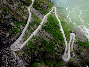
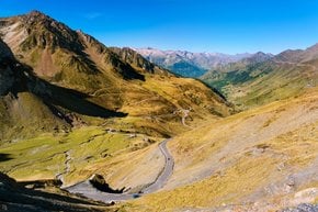
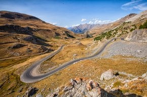
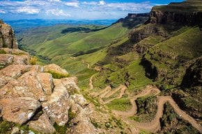
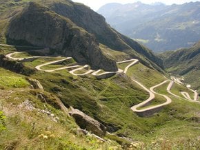
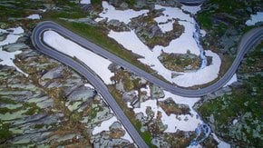
In the summer, Shafer Trail can also get muddy and slippery. After rainfall, it becomes incredibly challenging even with a four-wheel-drive vehicle. When dry, the road is in good condition, but then its famous Shafer Switchbacks and sharp rocks can damage the tires. Schafer Switchbacks is perhaps the most breathtaking section of this road. A steep and challenging climb also offers the best views of the canyon. The length of this section is about 5 miles (8km) and the gradient is 5% on average. Some sections are so narrow that vehicles can't even pass each other. In this case, it would be necessary to reverse. Some travelers said that driving the Shafer Trail Road was the most thrilling drive in their life.
Shafer Trail history
The scenic Shafer Trail was initially a path made by indigenous people to access resources on the mesa top. In 1916, Mormon pioneer settlers started to use the trail to move cattle. John “Sog” Shafer widened and improved the trail so that his sheep were able to access summer pastures on top. Later, the Shafer Trail Road was improved for miners to transport uranium extracted from the Triassic Chinle Formation. Finally, Canyonlands National Park was established in 1964, and the trail serves recreational purposes ever since.
Mountain biking and sightseeing on Shafer Trail
Shafer Trail is popular with hikers and mountain bikers. The greatest way to experience Shafer Switchbacks on a mountain bike is a breathtaking ride down. Start your adventure at the Shafer Trail Viewpoint and go down to Shafer Campground on Potash Road. The area is also known for rock climbing In addition to fantastic landscapes of natural stone arches, highlights of the trail include well-marked Indian petroglyphs and dinosaur tracks. Make sure to check out other attractions of the area, including the iconic Island in the Sky and Potash Evaporation Ponds.
Shafer Trail Viewpoint
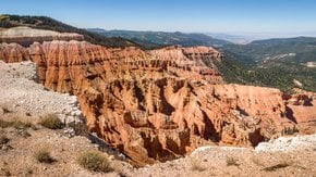
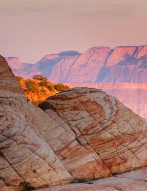
When on top, you'll be rewarded with a breathtaking panoramic view of the Canyonlands from the Shafer Canyon Overlook. The view from Shafer Trail is one of the most photographed ones in the world. From an altitude of about 2,000 ft (600 m) above the Colorado River, the viewpoint is a perfect spot for observing Canyonlands' pinnacles and buttes.
Camping at Shafer Trail
Canyonlands National Park offers about 20 individual campsites in 10 camping areas. Overnight permits are required for all vehicles, bicycles, and motorcycles. Campgrounds have toilets in each area but there is no water. Shafer Campground is the closest to the trail. You can also stay at Kayenta Campground in the nearby Dead Horse Point State Park with more stunning views,

