Best time to visit Austria

Grossglockner High Alpine Road in Austria

Experience the curves of the highest road in Austria with great views

Best time: May–October

Grossglockner High Alpine Road

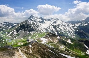
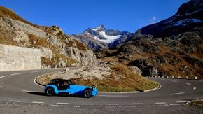
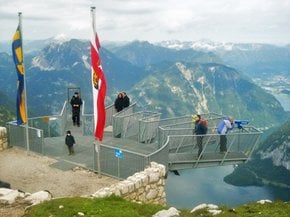
Grossglockner High Alpine Road provides unbelievable alpine landscapes, jaw-dropping nature and also intrigues tourists with its rich history and culture. It was found that people were crossing the Alps in this place long ago before Christ. "Kaiser-Franz-Josefs-Höhe" is named in honor of Emperor Franz Josef. He, himself hiked to this point back in 1856.

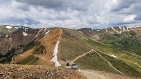
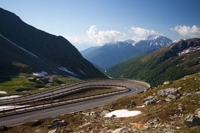
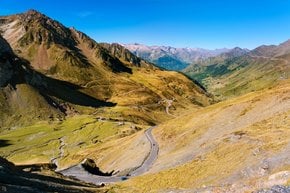
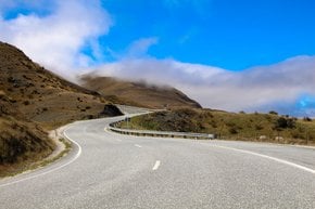
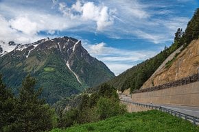
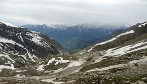
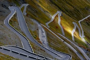
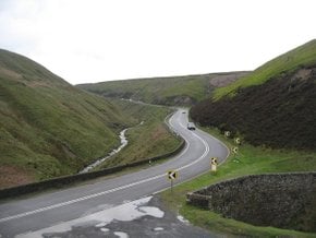
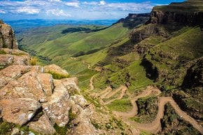
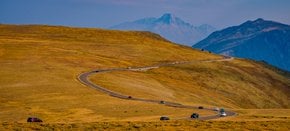
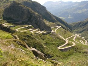
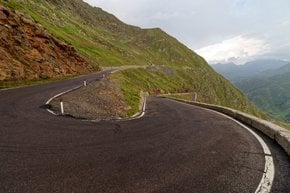
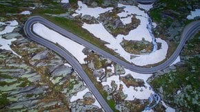
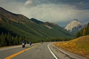
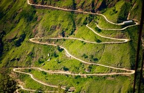
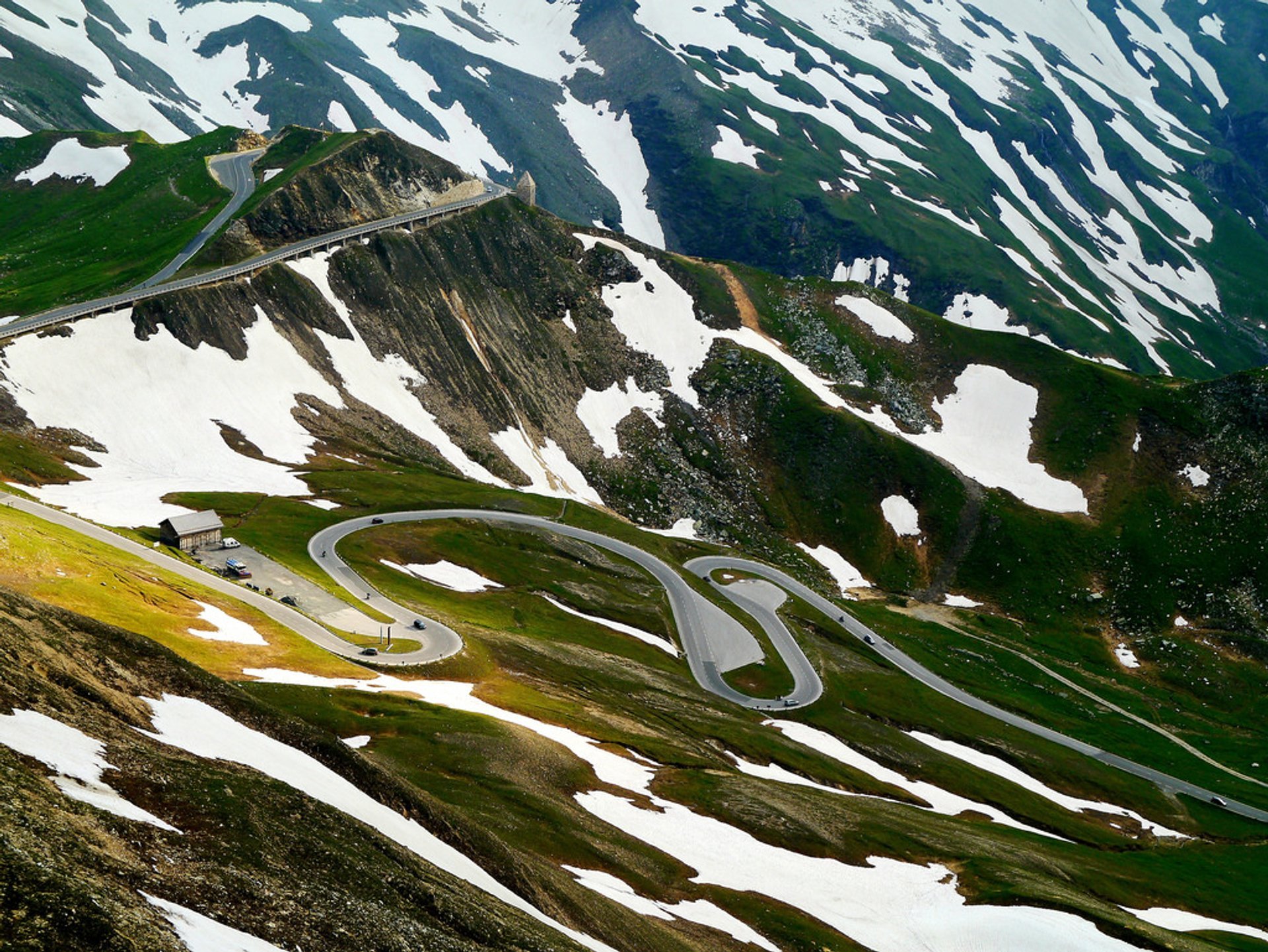
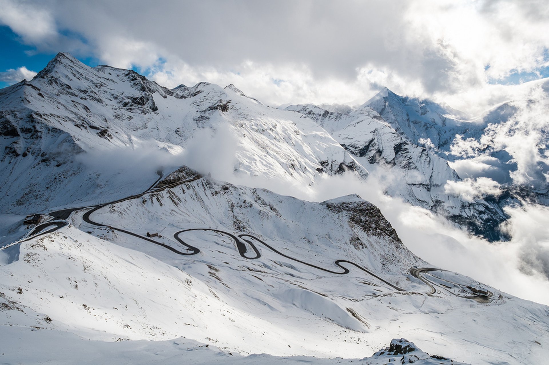
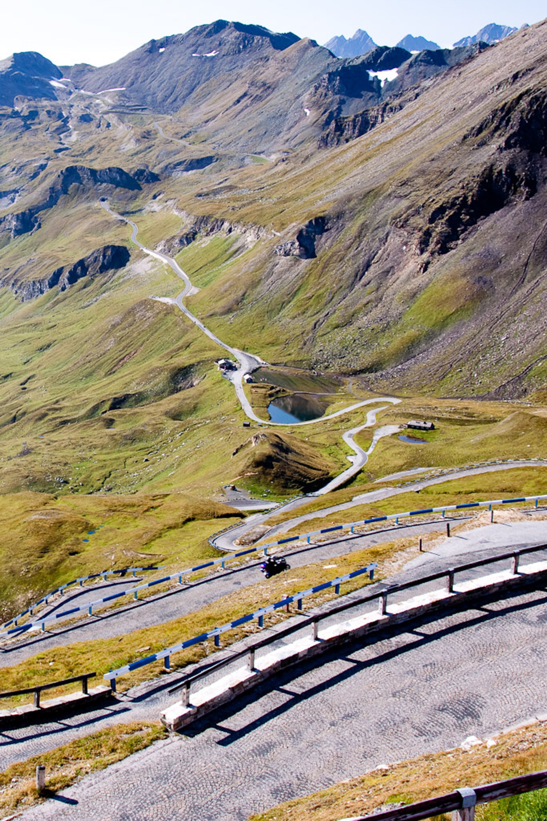
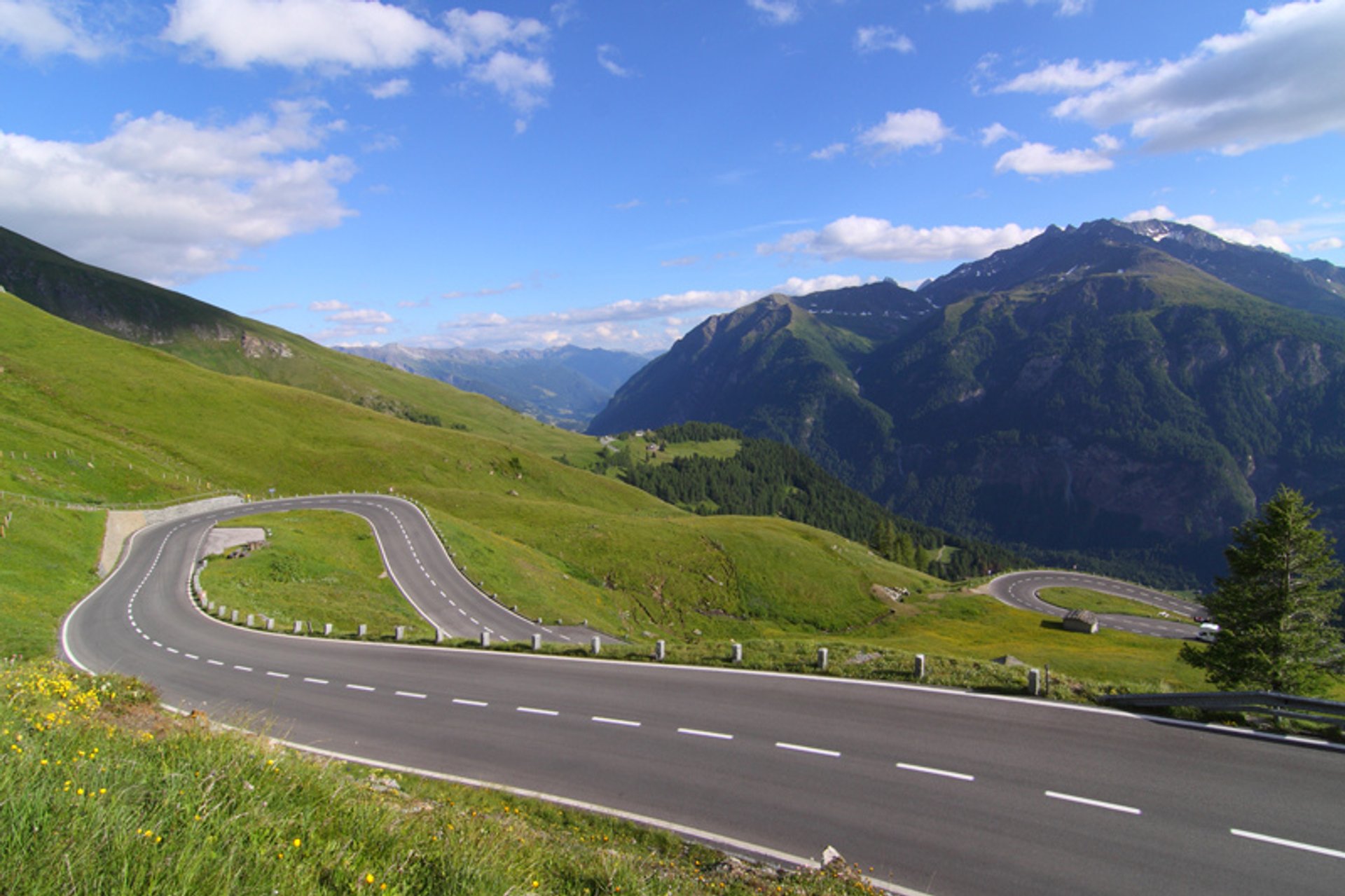
The road connects Bruck in the Salzburg region with Heiligenblut in Carinthia region across the Alps. It leads the visitors to the Hohe Tauern National Park and the Grossglockner (3,798 m)—the highest mountain in Austria. Travelers can enjoy the driving experience alongside with breathtaking nature over 48 km of the alpine road.

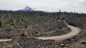
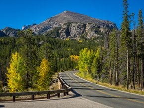
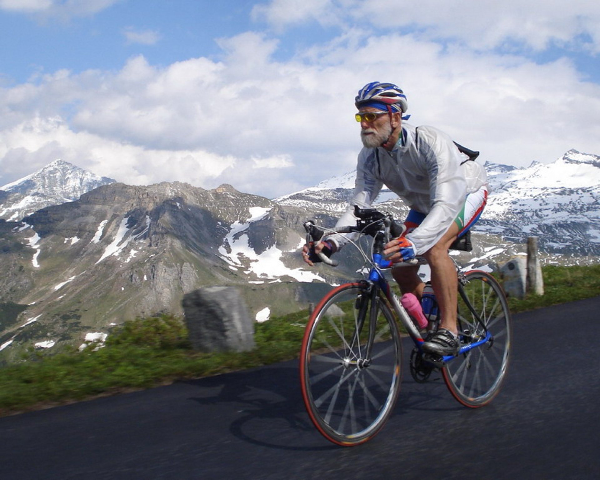
During summer, blossoming meadows, green forests, glaciers, and cliffs make up an unforgettable landscape. We suggest you combine cycling, driving and hiking experience, to get a feeling of the place. The road can be reached by all means of transport, including cars, buses, motorcycles, and bicycles, and you have to pay accordingly. The road is usually open from May through October, closing down for winter months due to heavy snow in the area. Moreover, opening hours vary depending on the season, so make sure to check the road website for details.

Practical info

When is the best time to visit Grossglockner High Alpine Road in Austria?

Grossglockner High Alpine Road is best visited from May to October when the road is open, and visitors can relish the panoramic greenery that includes meadows and forests and is enhanced by the glaciers and cliffs. Due to heavy snowfall, the road is closed during winter months and is not optimal for traveling. Show more

What is the length of the Grossglockner High Alpine Road?

Grossglockner High Alpine Road is a 48-kilometer-long scenic path through the Alps that connects the Salzburg and Carinthia regions in Austria, running from Bruck to Heiligenblut. The road attracts tourists due to its unique and magnificent landscape that promises an exceptional driving experience. Show more

Where can I park my car on the Grossglockner High Alpine Road?

For car travelers, there are four public parking areas available on the Grossglockner High Alpine Road - Ferraripark, Fuscher Lacke, Hochtor, and Kaiser-Franz-Josefs-Höhe - each with different fees, with charges starting from 6 euros. The road also has picnic areas and viewpoints that one can access while traveling down the road. Show more

What hiking trails are there near the Grossglockner High Alpine Road?

Tourists can enjoy several hiking trails near the Grossglockner High Alpine Road. The trails provide varying difficulty levels and remarkable views. A popular route is the Pasterze Glacier Trail that runs through Franz Josef-Haus right up to the glacier moraine. Other exciting paths include Glocknerhaus-Zittelhaus Trail, Glocknerblick Trail, and Kaiser-Franz-Josefs-Höhe Trail. Some trails may require a fee, but others are free for access. Show more

How high is the Kaiser-Franz-Josefs-Höhe viewpoint and how do I get there?

The Kaiser-Franz-Josefs-Höhe viewpoint lies 2,369 meters above sea level and offers captivating perspectives of the surrounding mountains and Pasterze Glacier. Tourists can either take a shuttle bus from the Glacier Cable Car Station when driving on the Grossglockner High Alpine Road or reach the spot by hiking nearby trails. The price for an adult shuttle bus ticket is 10 euros, whereas children can avail of it for 5 euros. Show more

Ask a question

Find hotels and airbnbs near Grossglockner High Alpine Road (Map)

Last updated: by Eleonora Provozin