Best time to visit Los Angeles

Angeles Crest Highway in Los Angeles

One of the most scenic mountain drives on the West Coast

Best time: March–November

Angeles Crest Highway

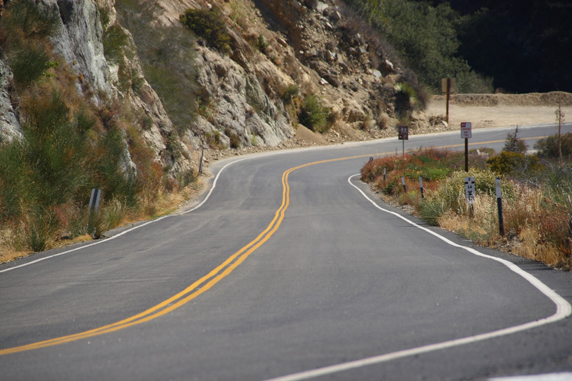
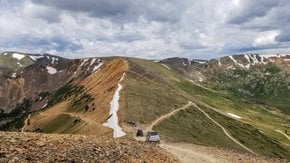
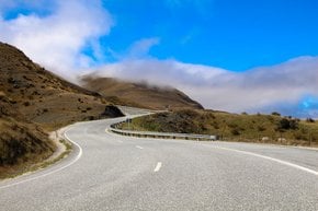
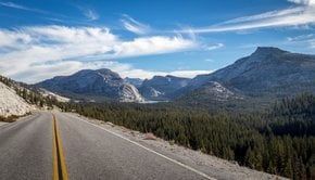
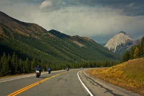
The Angeles Crest Highway is one of the best drives in Southern California. But the 106-km (66-mi) road, which is part of the California State Route 2, is also very dangerous as there are many blind spots along the sharp turns. The two-lane paved road was constructed in 1929-1956. It starts at Foothill Boulevard in La Cañada Flintridge in the west and ends at the Pearblossom Highway (State Route 138) northeast of Wrightwood in the east. The most elevated point of the road is Dawson Saddle 2,409 m (7,903 ft)—The Angeles Crest Highway is the highest road in Southern California.

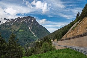
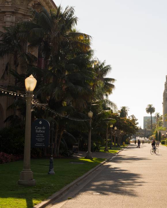
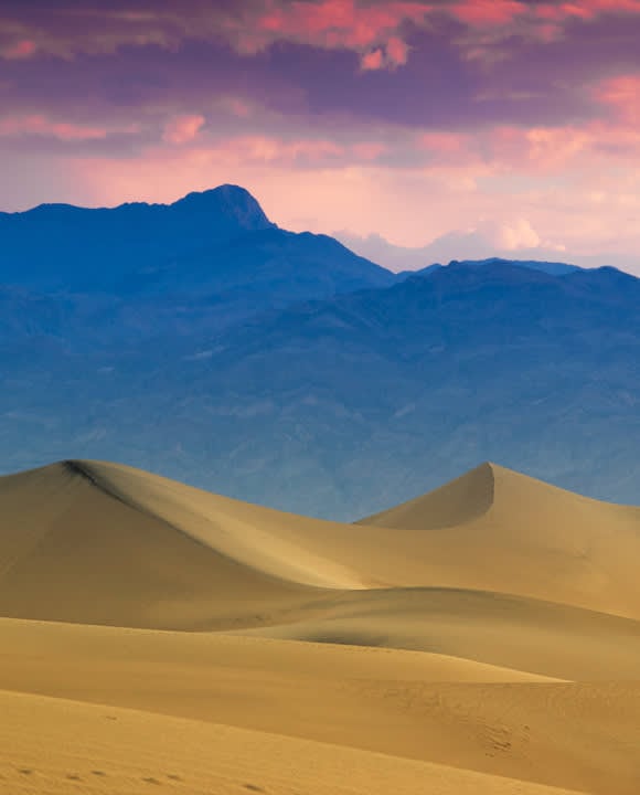
The scenic highway features many beautiful landscapes: the Angeles National Forest, San Gabriel Range, alpine meadows and montane forests—all of it in just minutes from urban Los Angeles. The route features a few forest service campgrounds and visitor centers as well as the Mountain High and Mt. Waterman ski resorts. There is also a Mount Wilson Observatory on Mount Wilson. On a clear day, the road offers impressive views of the greater Los Angeles area.

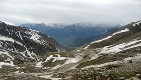
The Angeles Crest Highway is closed in the wintertime from Islip Saddle to Vincent Gap due to frequent avalanches and rockfall. There have been a few landslides on the road in the early 2000s. However, it was fully repaired in 2009. Cell phones have poor reception in many mountain sections of the highway. Drivers have to be prepared for sudden changes in weather and presence of wildfires.

Practical info

When is it safe to drive on the Angeles Crest Highway?

The Angeles Crest Highway offers incredible views of Southern California; it's best to drive on it from March to November due to winter closures caused by snow and avalanches. Nonetheless, sudden weather changes and wildfires are likely during these months so it's important to be extra vigilant. Ensure to drive carefully, mainly on the corners. Show more

What's the path taken by Angeles Crest Highway?

Starting at Foothill Boulevard in La Cañada Flintridge, the Angeles Crest Highway covers 106 km (66 mi) and winds its way northeast, ultimately ending at the Pearblossom Highway (State Route 138) northeast of Wrightwood. This beautiful drive is the highest road in Southern California, with its most elevated point, the Dawson Saddle, located at 2,409 m (7,903 ft). The road is a part of the California State Route 2. Show more

What are some of the places of interest while driving along the Angeles Crest Highway?

Venture the Angeles Crest Highway in California State, and enjoy mesmerizing views of alpine meadows, montane forests, and the San Gabriel Range. Take advantage of several visitor centers, forest service campgrounds, and the Mountain High and Mt. Waterman ski resorts during your journey. Add the Mount Wilson Observatory to your bucket list as you'll get incredible views of Los Angeles from there. Show more

What makes the Angeles Crest Highway dangerous?

The Angeles Crest Highway is a dangerous, scenic drive due to the many blind spots located along sharp corners. Although the early 2000s saw several landslides, a complete repair in 2009 helped culminate the issues. Drivers must be aware of the likelihood of sudden weather alterations, wildfires, and poor cell phone reception in mountainous portions of the road. Show more

What safety measures should drivers follow while driving on the Angeles Crest Highway?

Enjoy the Angeles Crest Highway safely by slowing down while driving on corners and being mindful of the blind spots. As weather variations and wildfires are commonplace in this area, take adequate precautions, be well-informed about route conditions, inform someone of your travel plans in case of any trouble. Stay attentive, avoid distractions while driving and appreciate the beautiful views with care and caution. Show more

Ask a question

Find hotels and airbnbs near Angeles Crest Highway (Map)

Last updated: