Best time to visit Ireland

Conor Pass in Ireland

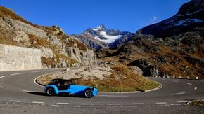
Buckle up for Ireland's highest mountain pass with breathtaking views

Best time: all year round

Conor Pass
Conor Pass
Conor Pass
Conor Pass
Conor Pass

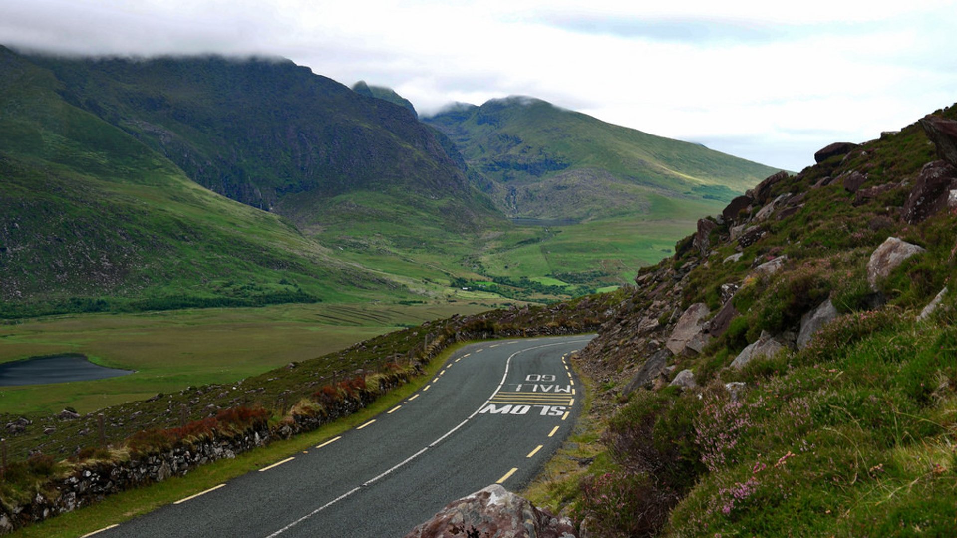
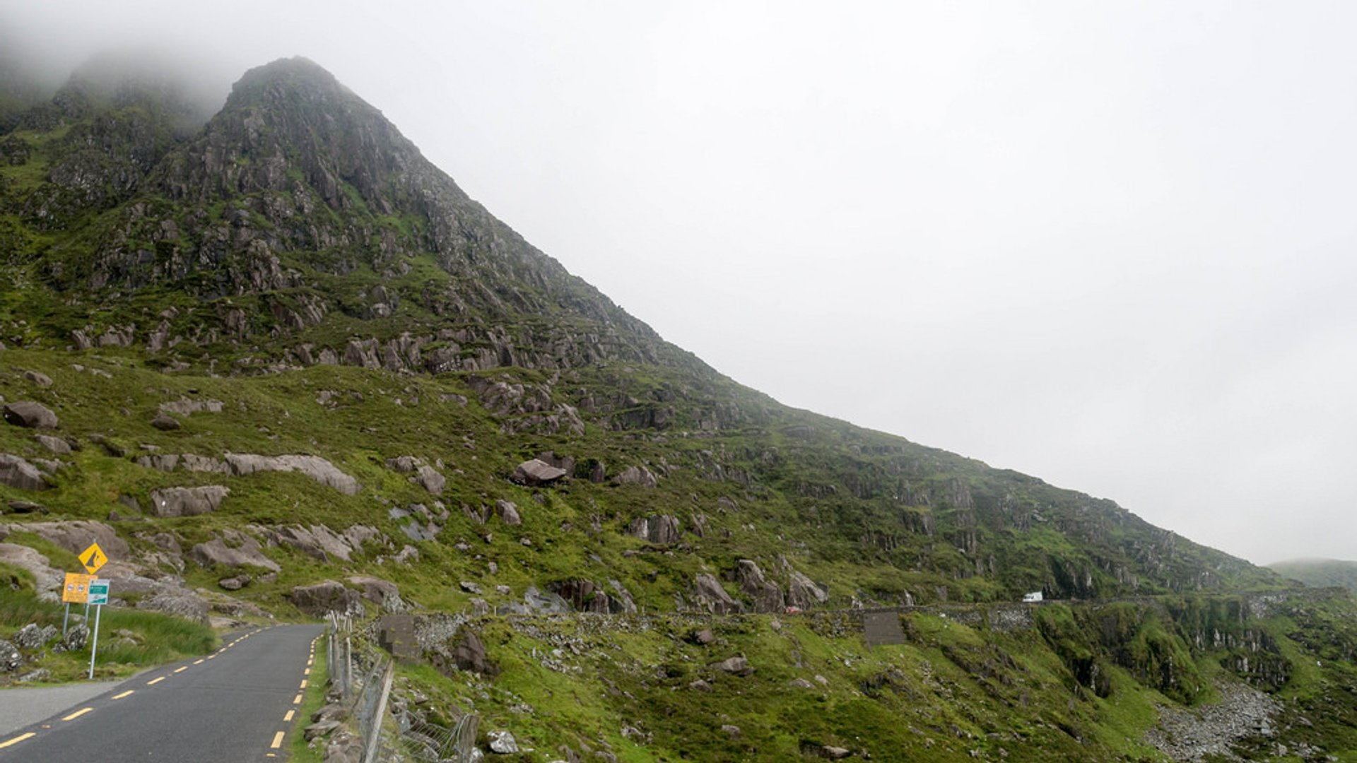
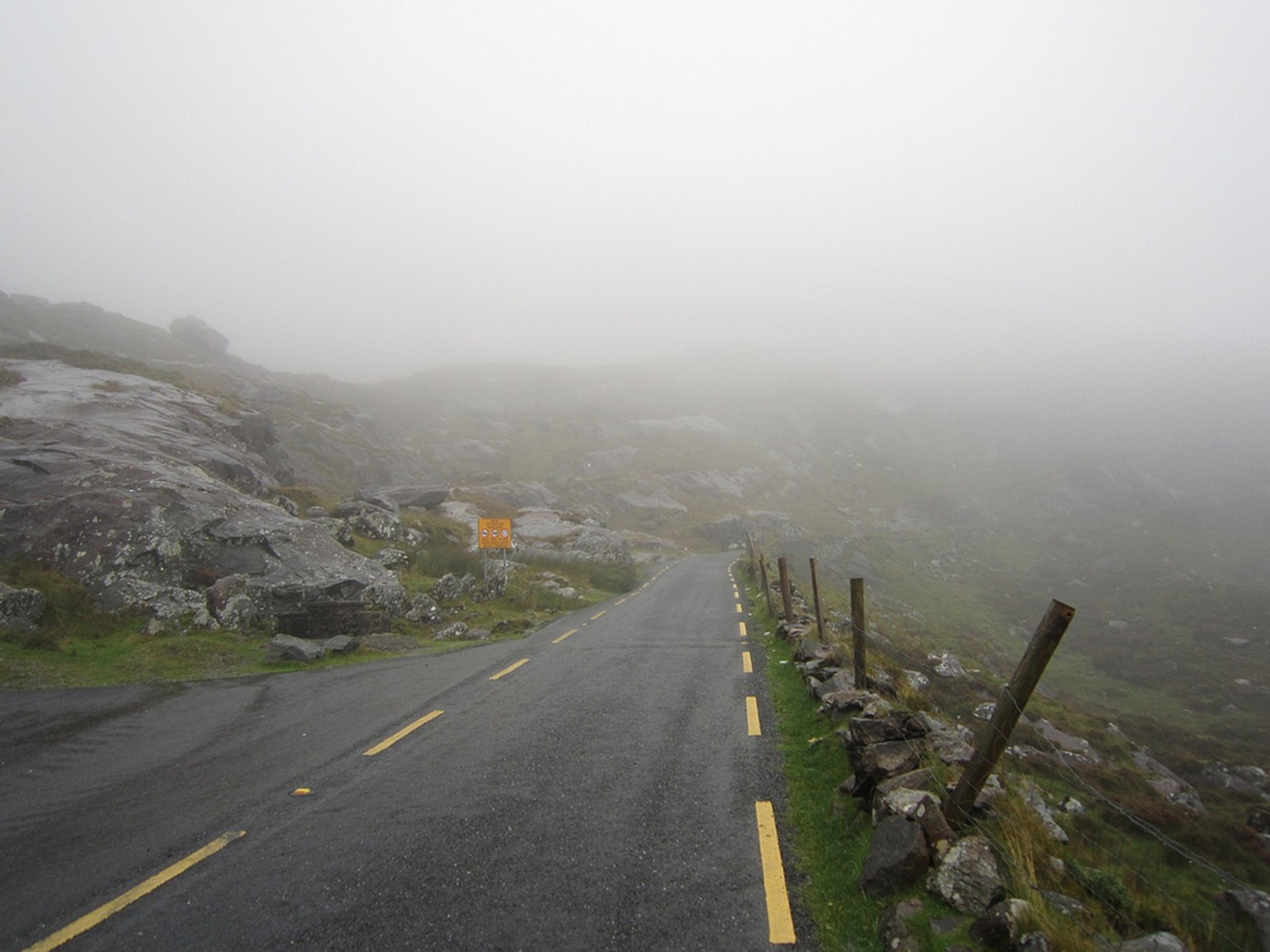
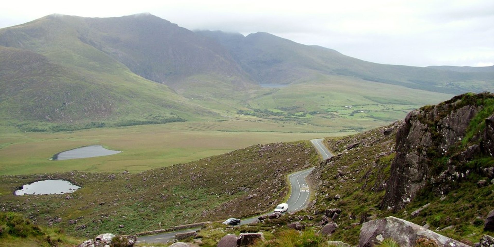
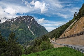
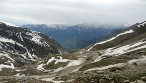
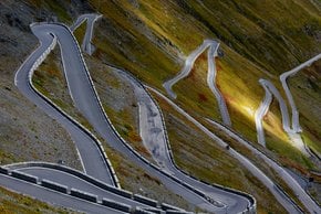
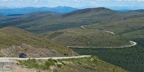
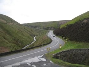
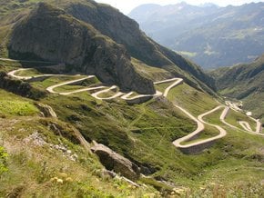
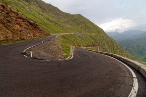
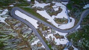
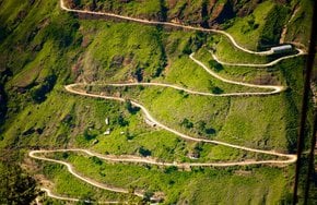
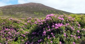
Conor Pass connects Dingle at the Dingle Peninsula with Brandon Bay and Castlegregory. With the height of 456 m (1,496 ft), it is located on the road R560 in County Kerry. A picturesque curvy asphalted road that leads to the pass is considered one of the most beautiful in Ireland. Winding around the sharp cliffs and passing high corrie lakes the road can be rather dangerous when wet or with limited visibility.

Connor Pass Road is also very popular with cyclists who test their skill and stamina with a long and steep climb. The pass is usually open for traffic all year, but during winter months, it can be closed in case of heavy snowfall. Large vehicles, caravans, camper vans, and trucks cannot use the pass.

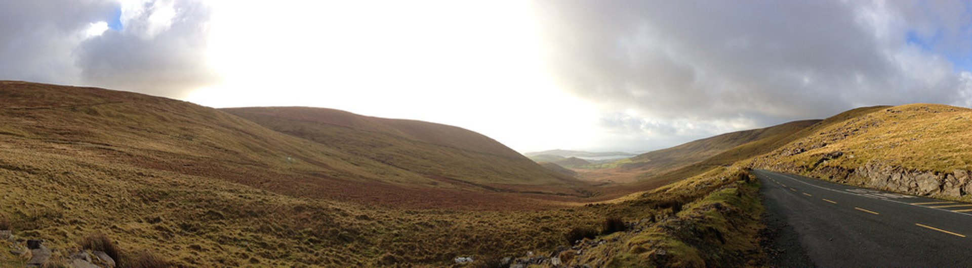
Conor Pass Road starts from Dingle Town running for about 7.2 km (4.5 mi) with an elevation gain of about 1,500 ft as it makes its way to the top, revealing breathtaking views of the glaciated mountains and corrie lakes. Once you get to the top of the summit, there are stunning panoramic views as far as the Aran Islands off County Galway.

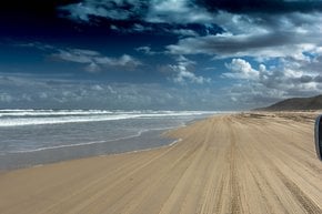
Besides the drive itself, you can explore the surrounding territories. Dingle Peninsula offers a few blue flag beaches for swimming and water sports. Also, there are a few points of interest like Dunbeg Fort, Slea Head, the site of the Corca Dhuibhne Regional Museum, early Christian site at Reasc, and Gallarus Oratory.

Practical info

What are the risks of driving on Conor Pass during bad weather?

Driving on Conor Pass is a dangerous proposition when the weather is not good. The narrow and curvy roads that run along sharp cliffs can become hazardous with reduced visibility or heavy snowfall. One needs exceptional handling skills to manoeuvre the car on the pass during such environmental conditions. It is noteworthy that large vehicles cannot use the pass due to its narrowness. Show more

Can large vehicles such as trucks and caravans drive through Conor Pass?

Conor Pass is not suitable for large vehicles like trucks, camper vans, or caravans due to its tight corners and restricted road width. The narrowness of the roads forces heavy vehicles to avoid the pass, making it available only for small vehicles and cars to navigate through the pass. Show more

What is the length of Conor Pass Road and what is the elevation gain?

Conor Pass Road has a length of around 7.2 km (4.5 miles), with an elevation gain of 1,500 feet (approximately). The road is an adventurous path that passes through high corrie lakes and sharp cliff edges, providing travellers with excellent scenic beauty. Located in County Kerry, the incredible pass connects Castlegregory and Brandon Bay with Dingle via the R560 road. Show more

What are some popular activities to do in the surrounding area of Conor Pass?

The surrounding areas of Conor Pass offer several popular activities, including swimming and water sports at a few suitable blue flag beaches on Dingle Peninsula. Several sites of interest, such as Dunbeg Fort, Slea Head, the Corca Dhuibhne Regional Museum, the early Christian site at Reasc and Gallarus Oratory, are within a few minutes' drive from the pass. These unique attractions make Conor Pass a perfect destination to explore and experience the beauty of nature. Show more

When is the best time of year to visit Conor Pass for the best views?

Conor Pass usually remains open throughout the year, but the views of the pass change according to the season. The wildflowers in bloom provide the most charming views during late spring or early summer, while the changing colors of the leaves offer an exhilarating experience during the autumn season. However, visiting the pass during the winter months can be risky as heavy snowfall can close the path. Show more

Ask a question

Find hotels and airbnbs near Conor Pass (Map)

Last updated: