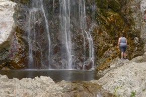
Best time to travel to California

Matilija Falls in California

A strenuous canyon hike to a few beautiful waterfalls

Best time: March–November

Matilija Falls
Matilija Falls

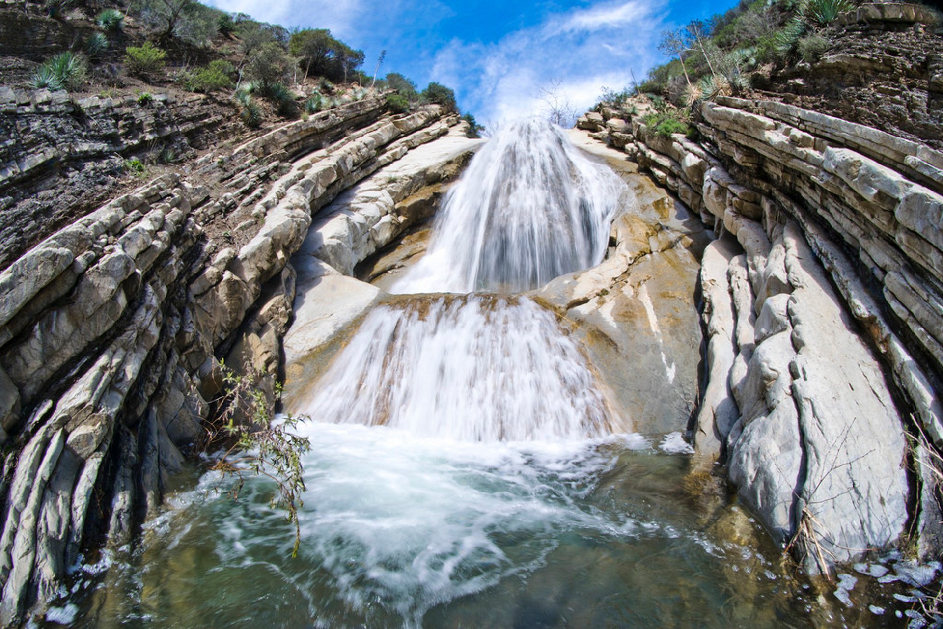
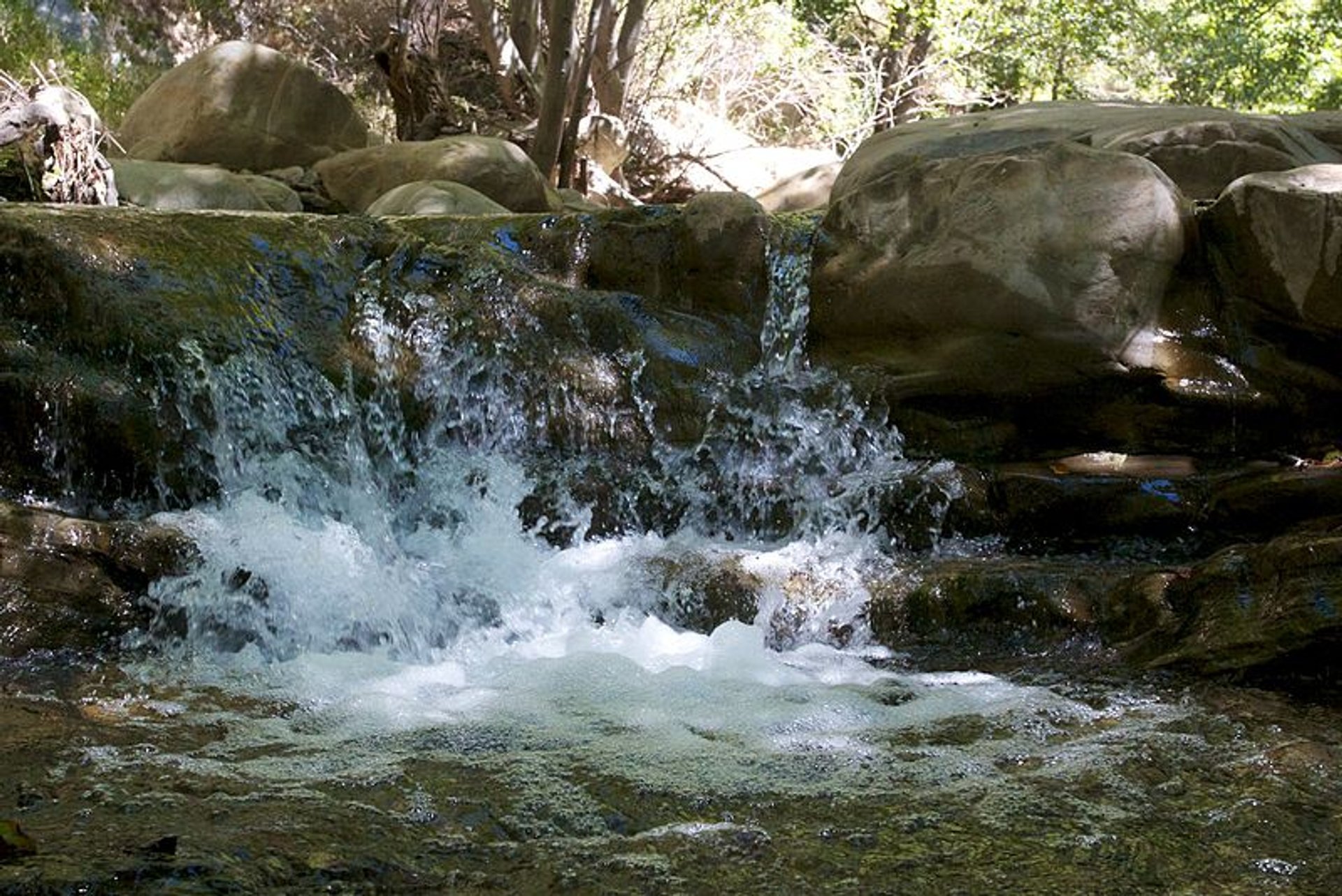
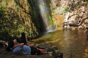
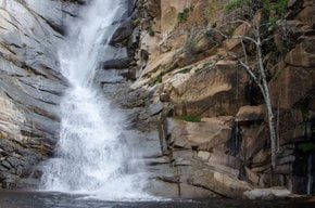
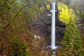
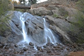
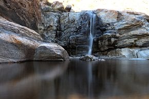
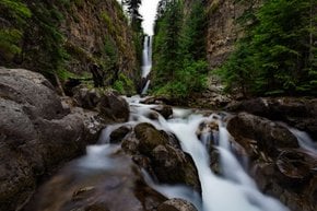
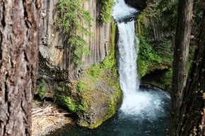
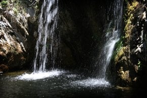
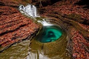
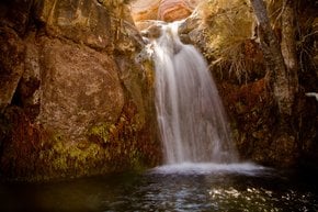
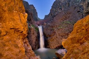
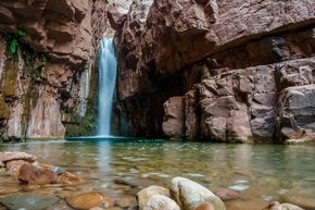
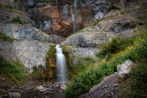
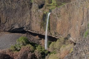
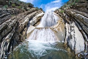
Matilija Falls is located in the Matilija Wilderness, Los Padres National Forest, near Ojai, California. It may not be the tallest, but surely one of the most beautiful waterfalls in the Los Padres National Forest. The best time to hike to Matilija Falls is from March through November. It is a scenic hike through Matilija Creek with many great turtle ponds, swimming holes, and two waterfalls.

The 9-mile (14.5 km) trail to Matilija Falls has an elevation gain of 950 ft (290 m) and is moderate to difficult. There are several free campgrounds in Matilija Wilderness in case you decide to stay overnight in the park. Check out Middle Matilija, Upper Matilija, and Maple camps. All campgrounds have shaded stream side areas and are close to trails to Matilija Falls and Cherry Canyon.

There are two trail heads for this hike. A southern access point has the same trail head as the Murietta Trail. This trail is a bit shorter. The northern access point is north of Ojai on Highway 33. It starts at the trail head at the ridge top by Cherry Canyon.

Practical info

When is the best time to hike to Matilija Falls?

The ideal period for Matilija Falls discovery is from mid-March to early November. During these months, the trail is dry, and the weather is mild, providing a pleasant hiking environment. The winter months and rainfall periods are not recommended for hiking as the trail might prove dangerous and difficult to navigate. Show more

Where is Matilija Falls located?

Matilija Falls is found in the Matilija Wilderness in Southern California. The falls are surrounded by oak trees and displayed in a beautiful canyon along the Matilija Creek. One can start the approximately 9-mile hiking trail from the trailhead of Highway 33. Alternatively, access is also possible from the southern point with Murrieta trailhead. Show more

What are the elevation gain and length of the hike to Matilija Falls?

The approximately 9-mile hike to Matilija Falls has an elevation gain of 950 feet. It is a moderate to difficult trail that one can enjoy while exercising endurance. As there is no availability of potable water or facilities at the falls, hiking enthusiasts should carry enough food and water for the whole trip. Show more

Are there any free campgrounds near Matilija Falls?

Yes, visitors can find free campgrounds near Matilija Falls. These camps are Maple, Upper Matilija, and Middle Matilija. There are shaded streamside areas and easy access to trails leading to both the fascinating falls and Cherry Canyon. Tourists must have a wilderness permit to stay at the campgrounds, and forest rangers issue one from their nearby office. Show more

How many waterfalls are there in Matilija Creek, and how do they differ from each other?

Matilija Creek displays two waterfalls along the 9-mile trail. The first waterfall, a small plunge pool, is positioned about 1.4 miles into the hike. Meanwhile, the magnificent 60-foot high cascading waterfall and swimming hole, Matilija Falls, can be discovered about 4.5 miles into the hike. With both falls being a must-visit, Matilija Falls is more majestic and a better attraction than the former. Show more

Ask a question
Last updated: by Eleonora Provozin