Best time to visit France

Col du Lautaret in France

The highest year-round pass in France

Best time: all year round

Col du Lautaret
Col du Lautaret

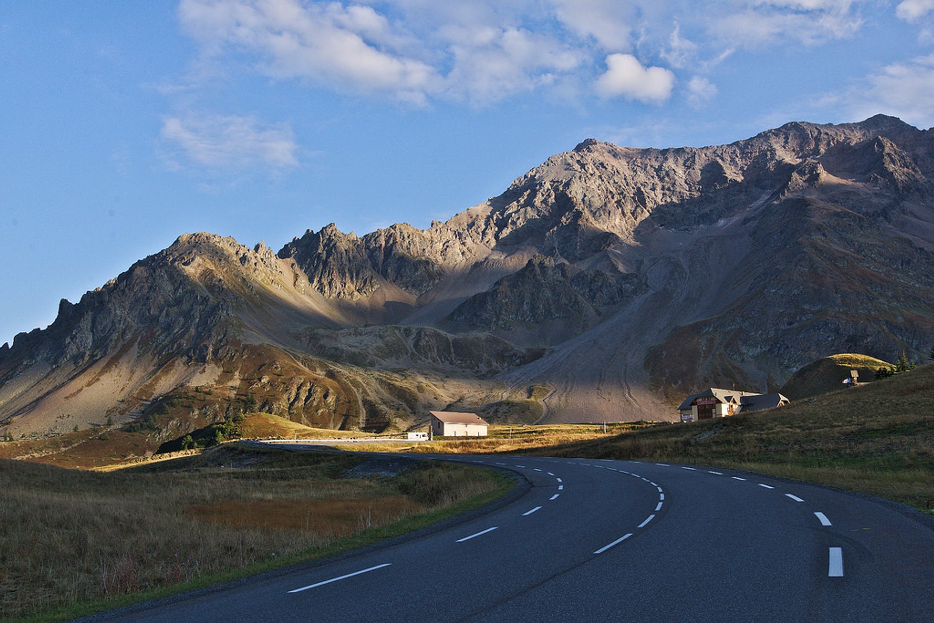
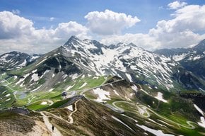
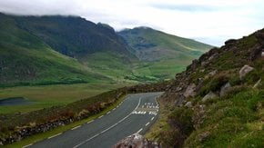
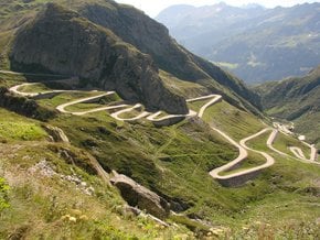
Col du Lautaret (Lautaret Pass) is located in the department of Hautes-Alpes between the valleys of the Romanche and the Guisane. The Lautaret Pass, 2,058 m, (6,752 ft) marks the divide between the northern Rhône-Alpes région and southern Provence-Alpes-Côte d'Azur région. The road over the pass is part of National Route 91 (D1091) that links Grenoble and Briançon, before reaching Italy through the Alps. The Lautaret Pass can also be reached by the D902 road from Col du Galibier, or the other way around.

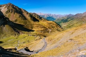
The western side of the climb starts in Le Clapier d' Auris and is about 34 km-long (21.3-mi) with 1,312 m (4,304 ft) of elevation gain and 3.8% average gradient. From Briançon, on the eastern side, it takes some 28 km (17 mi) with 853 m (2,799 ft) of elevation gain and a 3.1% gradient.

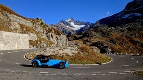
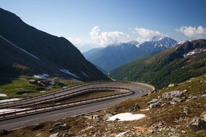
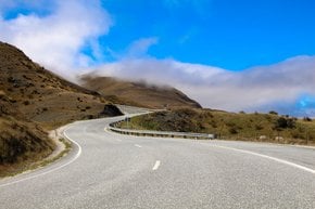
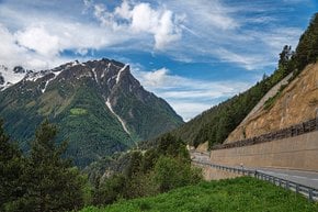
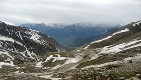
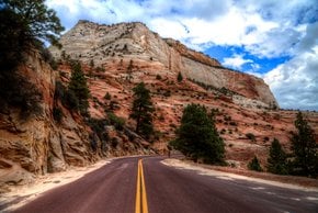
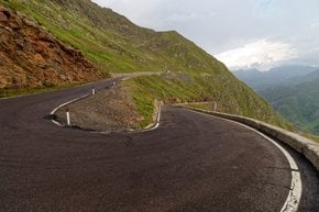
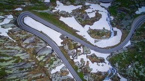
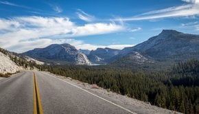
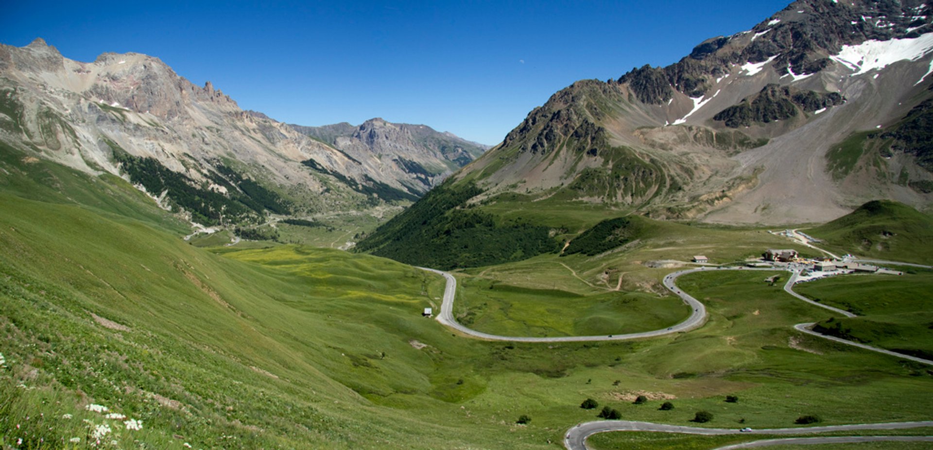
The asphalted road that is available year-round is quite wide offering much space comparing to other mountain roads in the Alps. It also features beautiful views down on green valleys and upon towering mountains. Don't hesitate to stop and take your time to enjoy views of the Meije Peak (3,982 m) to the south-east, the Grand Galibier (3,228), des Ecrins (4102 m), and Le Pelvoux (3,946 m). On a clear and bright day, you can even see Mont Blanc (4810 m), the highest peak in the Alps.

Since 1911 the pass was crossed during Tour de France cycling race.

Practical info

When is the best time to drive through Col du Lautaret in France?

The Col du Lautaret pass is accessible throughout the year, but the ideal time to drive is from May to September. During these months, the weather is favorable, and the snow melts, making driving easier. Due to snowy conditions, it is not recommended to drive here during winter months, and some closures may occur. Show more

Where can travelers get the most stunning views of the Lautaret Pass?

Travelers can enjoy breathtaking views of the Lautaret Pass from different points throughout the pass. For the most spectacular views, tourists are advised to go to the top of the Col du Lautaret, where they can look out over the green valleys and tall mountains. Adventurous tourists can also try the hiking trails, such as the Sentier des Cols, that take them through the alpine scenery and offer a closer experience of the views. Show more

How long does it take to drive from Col du Galibier to Col du Lautaret?

Going from Col du Galibier to Col du Lautaret is a journey that covers approximately 23 km and takes around 45 minutes. Visitors can anticipate exciting and challenging winding roads amidst the mountainous landscapes of the Hautes-Alpes region in France. Keep in mind that if you are driving in the winter, the roads might be icy and narrow, so caution is advised. Show more

Can visitors ride their bikes on the roads of National Route 91 and D902 from Col du Lautaret?

Cyclists have access to the roads of National Route 91 and D902 from Col du Lautaret and have been biking in the area since 1911's Tour de France when it was part of the race's route. You can rent bikes from area rental companies to begin cycling. Over the years, several Tour de France routes have gone through this location. Show more

What other attractions or activities can tourists find near Col du Lautaret besides driving?

Aside from driving, tourists can check out Ecrins National Park, which is in the region. Here, you can explore its unique flora and fauna like marmots, chamois, and eagles. You can also enjoy several hiking trails in the area that traverse the stunning mountainous landscape. Also, skiing and snowboarding enthusiasts can visit Serre Chevalier Ski Resort when traveling to Col du Lautaret in the winter. Show more

Ask a question

Find hotels and airbnbs near Col du Lautaret (Map)

Last updated: