Morrison Jeep Trail in Wyoming 2026
Test your nerves at one of the most challenging jeep paths in the U.S.
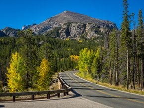
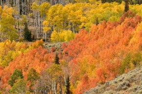
Best time: mid-July–September


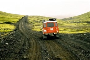
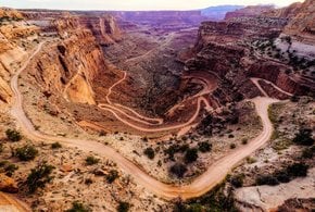
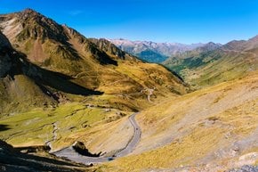
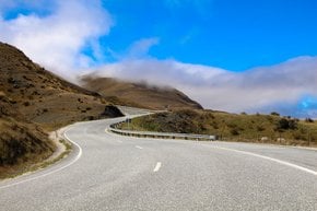
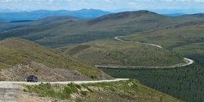
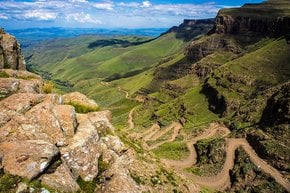
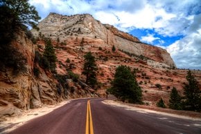
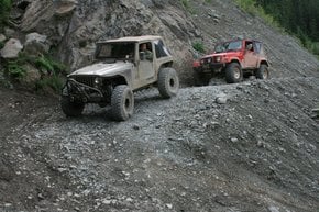
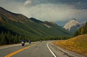
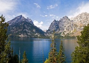
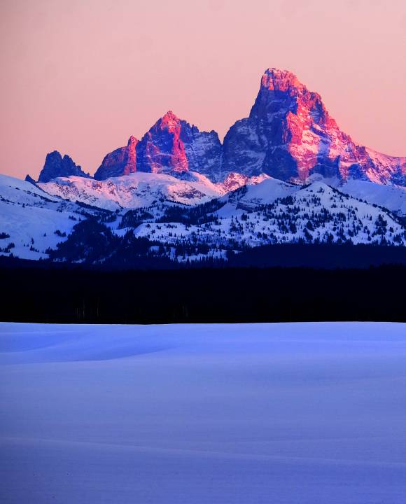
Morrison Jeep Trail is a rough and adrenaline-pumping road running from Clarks Fork River valley to the Beartooth Plateau. The trail is also known as Forest Road 120 located within the Shoshone National Forest in Wyoming. It's in 41.1 mi (66 km) northwest of Cody, close to the border with Montana. Being just 22 mi (35.4 km) long, the drive will take about 7 hours. The condition of the road justifies why you need so much time for such a short distance.
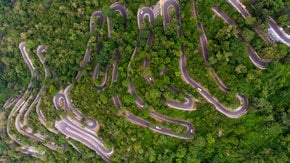
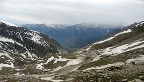
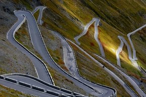
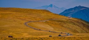
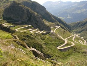
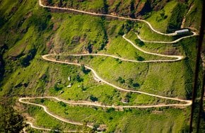
Morrison Jeep Trail starts at the elevation of around 4,500 ft (1,372 m) and climbs up to 10,203 ft (3,110 m) above the sea level. The steepest section is between Clarks Fork River and the top of Beartooth Plateau, where you’ll gain about 2,000 ft (610 m) of elevation in 2 mi (3.2 km) overcoming 27 tight switchbacks. Keep in mind that if you started climbing up to the Plateau, you have no option to turn back as the trail is a single-lane path with no turnouts. Also, in some places, it is just 8-ft (2.4-m) wide.
When is Morrison Jeep Trail open
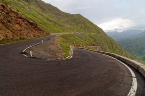
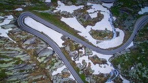
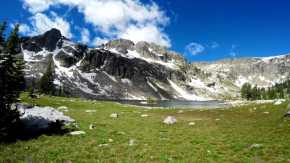
Weather conditions make a big impact on the state of this road. The trail is usually closed due to the snow from October to June, sometimes it stays closed till mid-July. It's not recommended to drive on this road when it's wet, muddy, or slippery. The steepest sections of this road have a gradient of 25%. There are loose rocks, deep ruts, and large boulders along the way.
Morrison Jeep Trail history
The trail used to be a mountain path that was made by Nez Perce Tribe, one of the most powerful in the area. According to some accounts, in 1877 the tribe was hiding in Clarks Fork River Canyon. Chief Joseph (In-mut-too-yah-lat-lat) led Nez Percé on the trail to escape the U.S. Army.
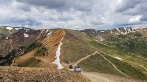
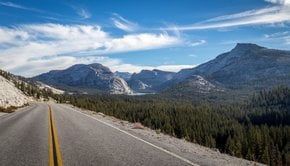
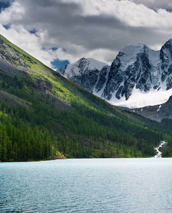
On the Plateau, you can take one of the smaller trails stretching from the main route. But make sure you know where you go or carry a map with you not to get lost. This area is one of the most remote places in Wyoming, and there is no cell connection in the area. There have been numerous accidents on this road, and one couple died in 2017 after their ATV tumbled off the trail. The route is definitely not for the fearful and nervous—you should have guts to take it. To drive the trail, you should be an experienced driver, preferably driving a 4x4 ATV. You’ll find yourself on a dusty and bumpy route, and you might deal with landslides. Besides, on the top, the oxygen is limited, and you might experience dizziness. However, the view of the Beartooth Mountain Range is worth the efforts.
Camping on the Morrison Jeep Trail
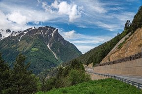
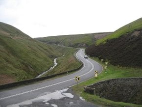
Camping for the night will surely make your trip on Morrison Jeep Trail more exciting. Many people camp right by the creek at the bottom of the valley to start their ascent early in the morning. You can also stop by campsites in nearby Shoshone National Forests or nearby Yellowstone National Park. Dead Indian Campground and Beartooth Lake Campground are the closest to the trail. If you are interested in driving more scenic roads with better safety, try Beartooth Highway through the Northern Rockies. After Morrison Jeep Trail, it will seem like a relaxing, leisurely drive.
Practical info
Find hotels and airbnbs near Morrison Jeep Trail (Map)
People interested