Best time to visit Montana

Beartooth Highway in Montana

Pass along the highest route in the Northern Rockies

Best time: late May–mid-October

Beartooth Highway
Beartooth Highway

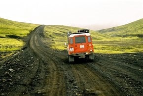
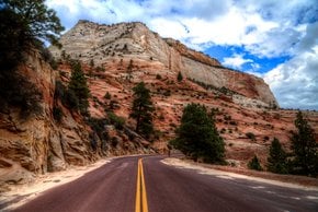
Beartooth Highway is a section of the U.S. Highway 212 running between Red Lodge, Montana and Cooke City-Silver Gate, Montana. Even though the road begins and ends in Montana, its substantial part lies in the northwest of Wyoming.

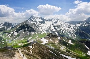
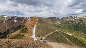
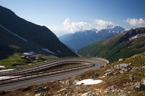
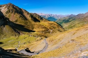
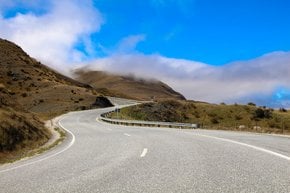
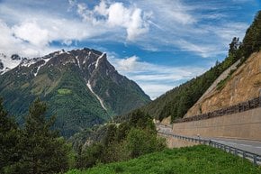
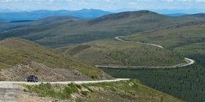
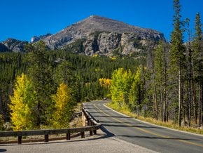
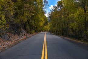
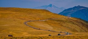
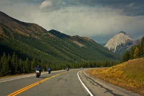
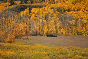
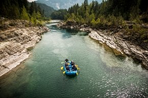
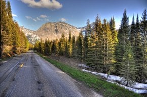
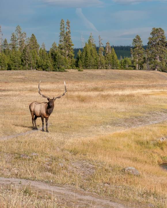
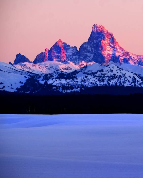
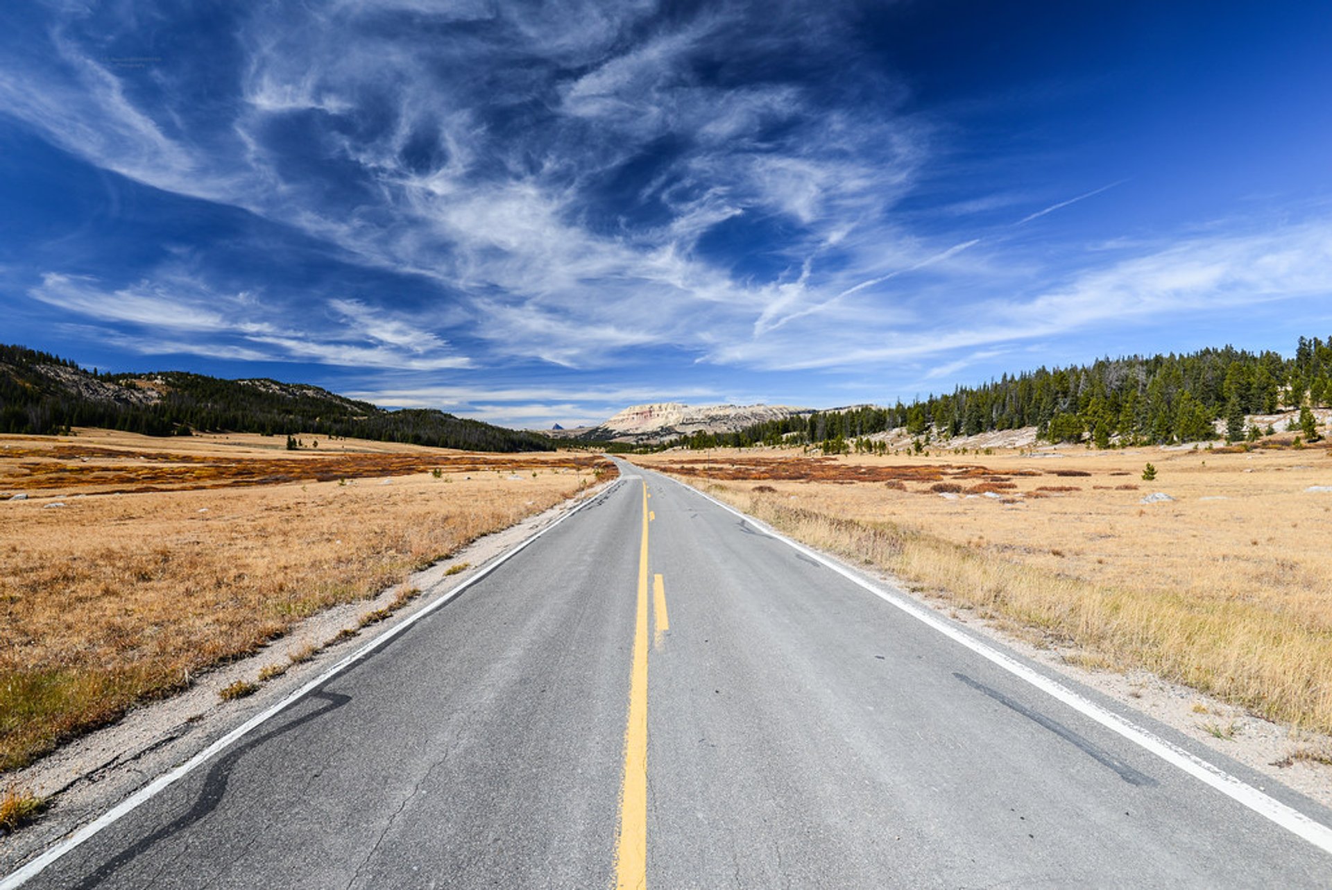
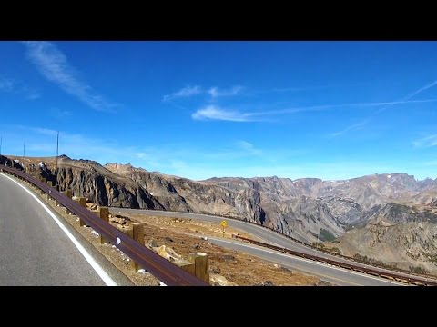
The highway is one of the most scenic routes in the United States. Stretching for 68 mi (109 km), it leads from the Northeast Entrance of Yellowstone National Park, through the historic mining communities of Cooke City and Silver Gate, passes by the Absaroka Range of the Rocky Mountains, follows through the Beartooth Wilderness and the Beartooth Pass over the Beartooth Plateau to Red Lodge.

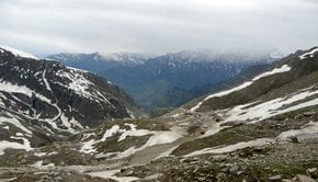
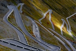
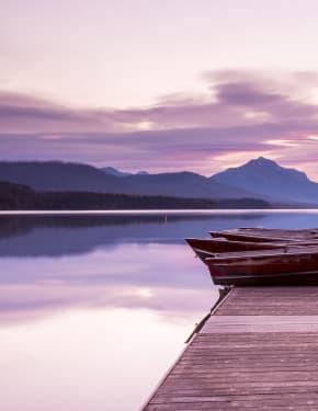
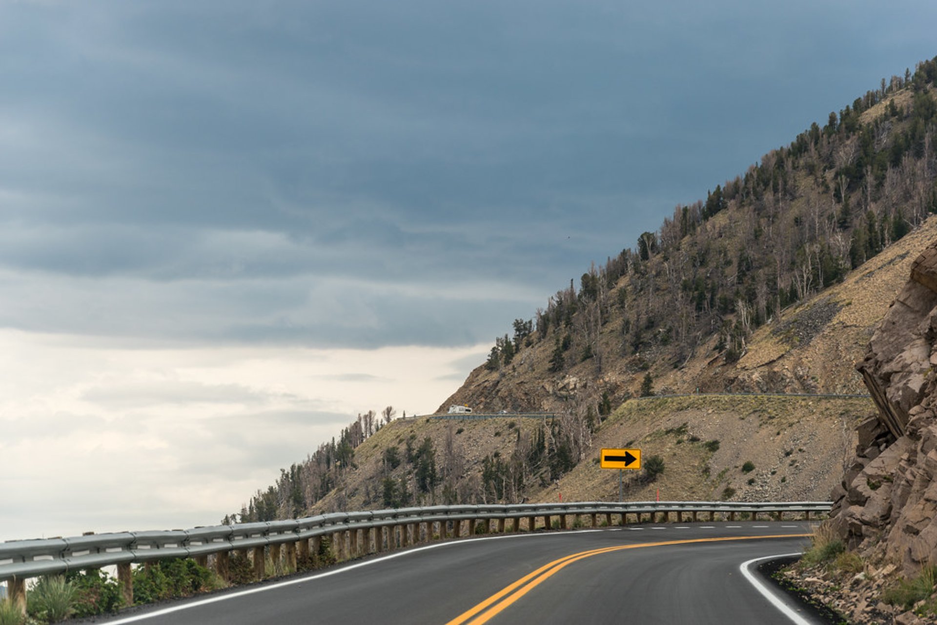
Beartooth Highway is the most elevated route in the Northern Rockies, climbing 10,947 ft (3,337 m) above sea level in Wyoming and 10,350 ft (3,155 m) in Montana. On the way, drivers pass by over 20 peaks that reach approximately 12,000 ft (3,658 m), about 10,000 mountain lakes, and 12 national forest camps. There are plenty of rest areas and spots with a scenic view ideal for taking pictures.

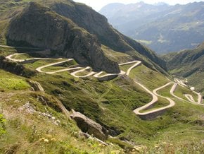
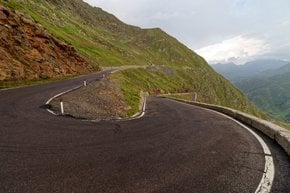
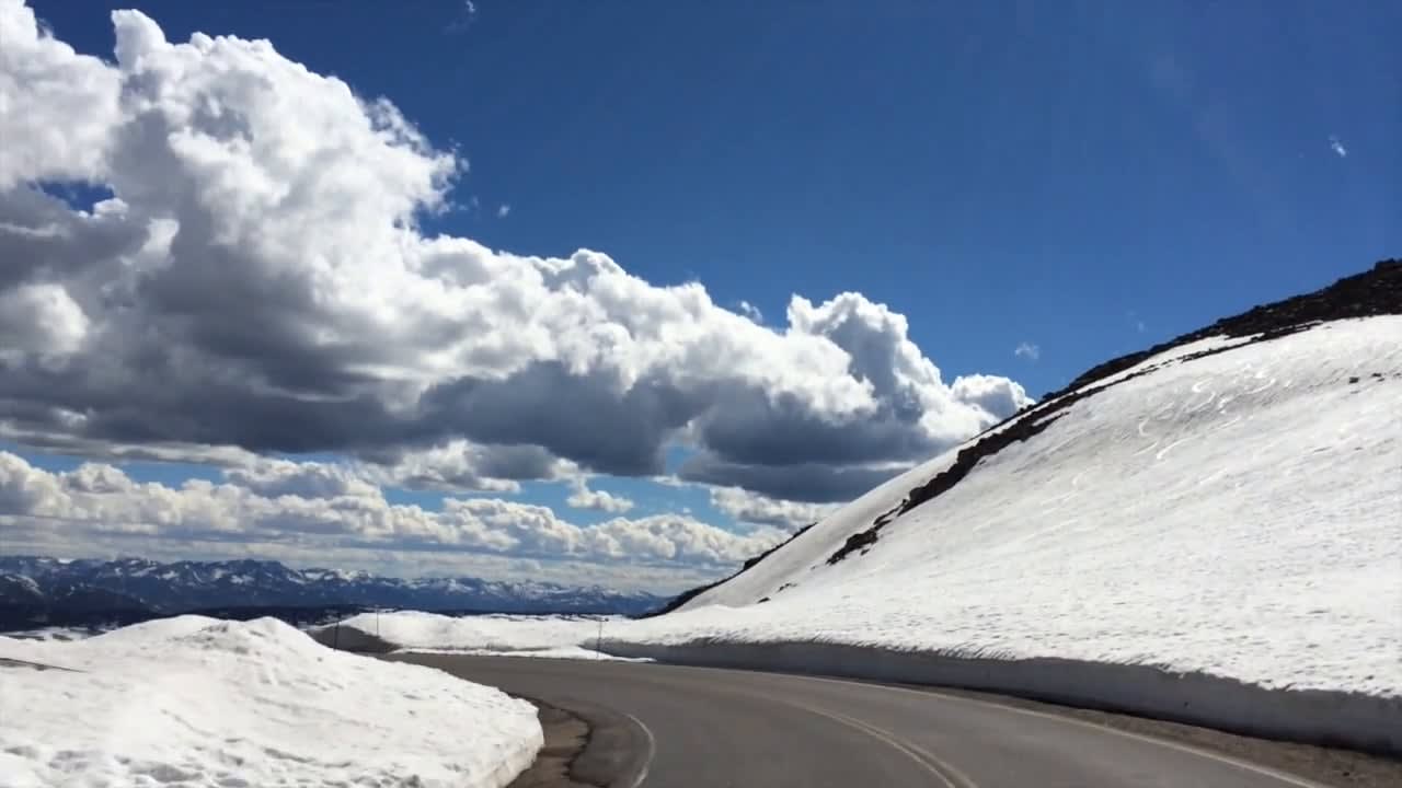
The road is usually open between Memorial Day and Columbus Day or late May to mid-October, yet snow and ice may shift the dates. When the weather is good, it takes about 2 hours to get from Red Lodge to Yellowstone National Park. But the high alpine climate often brings severe weather conditions and makes the route more challenging to follow. The travelers should be ready to deal with strong wind, thunderstorms, and heavy snowfalls at the top, even in summer. Also, there’s a risk of avalanches that may block the road. Hence, it’s crucial to check the weather conditions and make sure the way is open before starting off the trip. Besides, it’s better not to hit the road at night.

Beartooth Highway was opened in June 1936. For years, it’s been an attraction combining breathtaking views and risky climbs. It's dog-friendly, but on a leash only.

Practical info

When is the optimal time to travel on Beartooth Highway?

Late May to Mid-October is the best timeframe to journey on Beartooth Highway as long as you confirm if the route is open. The opening and closing dates can move due to weather, although they usually occur from Memorial Day to Columbus Day. Regardless of when your trip is, visitors should expect challenging weather, such as strong winds, thunderstorms, and heavy snowfall, so it's essential to review weather conditions beforehand. Show more

What is the destination of Beartooth Highway?

Beartooth Highway extends for 68 miles between Montana's Red Lodge and Cooke City-Silver Gate, passing through Wyoming's northwest section. The road leads travelers through the historic mining communities of Cooke City and Silver Gate, the Beartooth Wilderness, and the Beartooth Pass over the Beartooth Plateau straight to Red Lodge. In addition, the Northeast Entrance of Yellowstone National Park is accessible from this route. Show more

How long does it take to complete Beartooth Highway from Red Lodge to Yellowstone National Park?

Traveling from Red Lodge to Yellowstone National Park's Northeast Entrance should usually take two hours, but that time frame can fluctuate due to traffic, weather conditions, and how often individuals stop. Because Beartooth Highway is a scenic route, most travelers savor the breathtaking sights rather than hurrying to arrive somewhere. Show more

What type of weather should travelers prepare for while navigating Beartooth Highway?

While traversing Beartooth Highway, prepare for intense weather conditions, including powerful winds, thunderstorms, and heavy snowfall, specifically near the top. Additionally, climate conditions can change rapidly, so checking forecasts before embarking is vital. Moreover, clothing suitable for warmth must accompany travelers even if conditions are favorable at the beginning of the journey. Show more

What attractions and remarkable features can individuals encounter during their trip along Beartooth Highway's 68 miles?

Beartooth Highway is a gorgeous 68-mile scenic route that passes through over 20 12,000-ft-high mountain peaks, about 10,000 mountain lakes, and 12 national forest camps. Access breathtaking views of the Rocky Mountains, such as the Beartooth Pass over the Beartooth Plateau. Besides countless scenic viewpoints ideal for taking pictures and admiring the majestic sights, the road is pet-friendly, but keep dogs leashed. Show more

Ask a question

Find hotels and airbnbs near Beartooth Highway (Map)

Last updated: by Eleonora Provozin