Best time to visit California

Glendora Mountain Road in California

Alpine scenery is just an hour away from downtown Los Angeles

Best time: all year round

Glendora Mountain Road

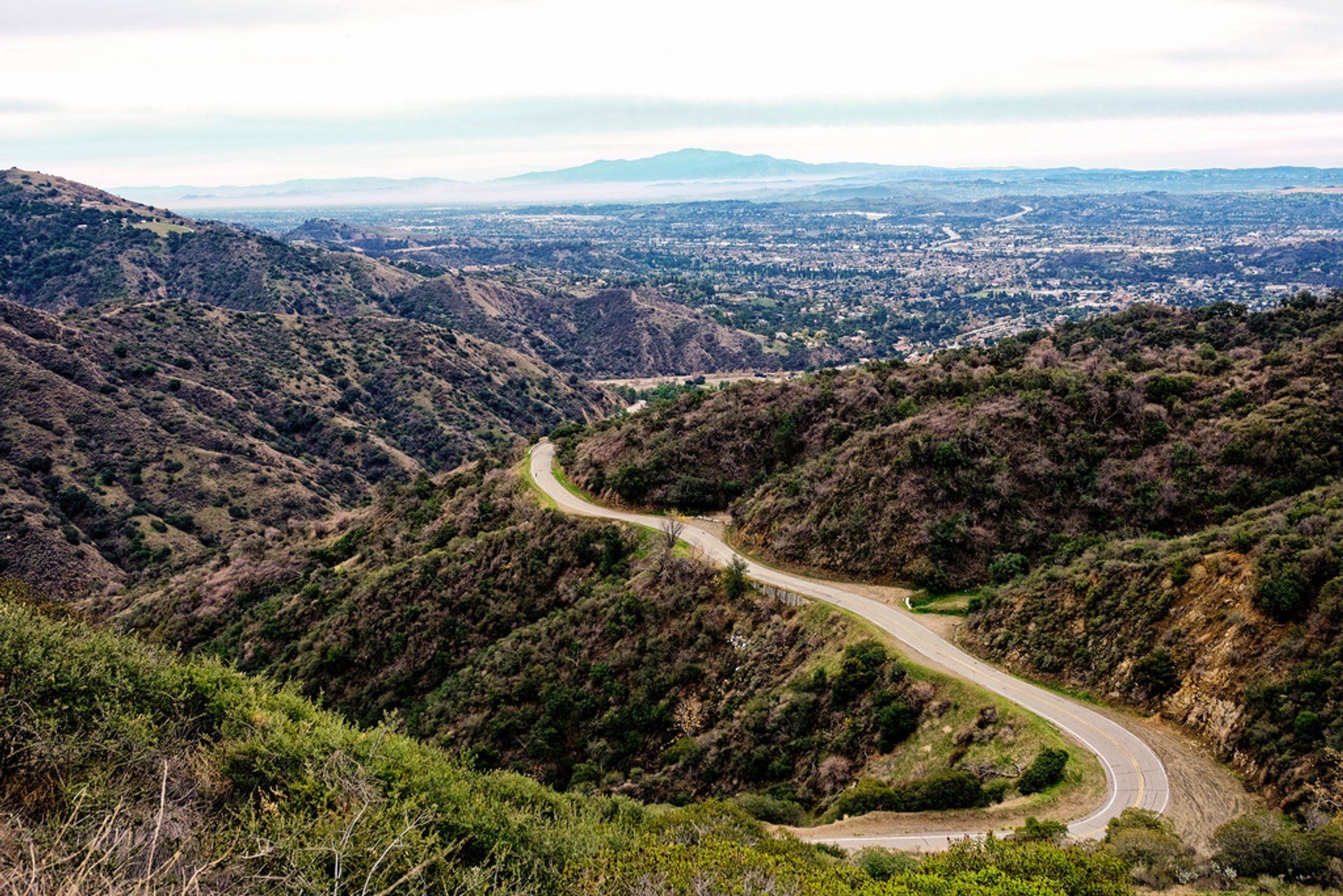
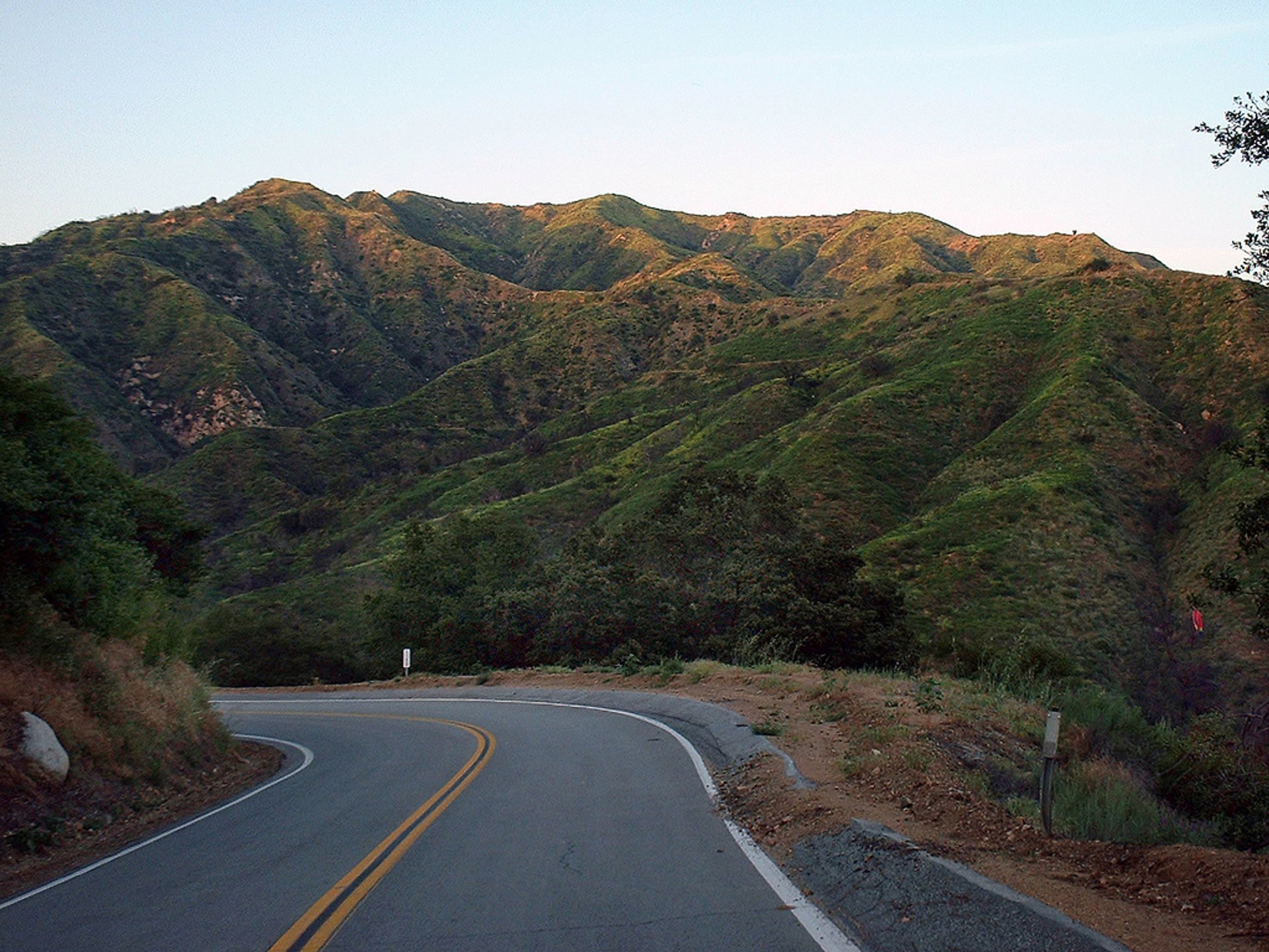
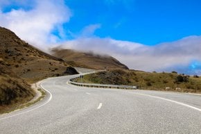
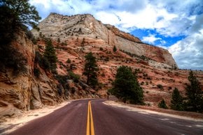
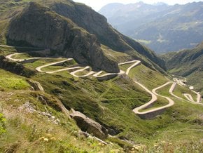
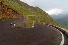
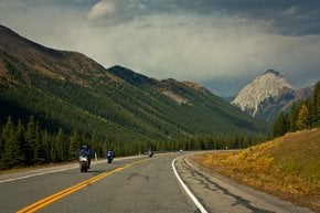
Glendora Mountain Road runs in the San Gabriel Mountains of Southern California. It is very popular with motorcyclists, cyclists, and skateboarders due to picturesque panoramic views, hairpin turns and climbs. It also was used for illegal car races that often led to serious accidents. The road doesn't have really steep grades, but there is a series of sharp turns and descents near Mt. Baldy Village.

Glendora Mountain Road stretches for 23 km (14.6 mi) starting in the city of Glendora and into granite peaks and canyons of San Gabriel Mountains. At the Horse Canyon Saddle the road forks into the Glendora Mountain Road and Glendora Ridge Road, the latter leading to Mount Baldy Village at an elevation of 1,278 m (4,193ft). Once you get to the village, you can continue up along Mt Baldy Rd that ends with dirt trail and ski lifts, or you can descend Glendora Ridge Road or the other side of Mt Baldy Rd.

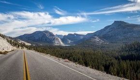
The paved road lies at a low enough elevation to escape serious snowfalls so it can be used year round. Drivers are rewarded with panoramic outlooks of Los Angeles Basin, Mount San Antonio (10,064 ft or 3,068 m), and the Angeles National Forest. This area is perfect for backpacking, hiking or any kind of outdoor activity.

Every May, Glendora Mountain Road attracts the world’s best pro cyclists during the epic Tour of California race.

Practical info

What is Glendora Mountain Road and where is it located?

Glendora Mountain Road is located in San Gabriel Mountains in Southern California. It is a 23-kilometer (14.6 miles) paved road offering picturesque views of the Angeles National Forest and Mount San Antonio. This road runs from Glendora city and stretches towards the granite peaks and canyons of the San Gabriel Mountains. Show more

What outdoor activities can be done in the area?

The area surrounding Glendora Mountain Road offers immense opportunities for outdoor enthusiasts. It's an excellent spot for hiking, backpacking, and motorcycling with some challenging trails. The road is renowned for hairpin turns and climbs that attract skateboarders and cyclists. Visitors can also enjoy panoramic views of the Los Angeles Basin and the Angeles National Forest from several beautiful vista points dotted along the road. Show more

When is the best time to go to avoid snowfall?

Glendora Mountain Road is accessible year-round as it lies at a low enough elevation to avoid snowfall. However, it is better to visit during the summer or fall for the best weather and views. In summer, the area can get very hot, so make sure to bring plenty of water for the trip. Show more

Where does Glendora Mountain Road lead to?

Glendora Mountain Road branches out at Horse Canyon Saddle. The one stretching towards Mt Baldy Road terminates with a dirt trail and ski lifts. The other one leads to Glendora Ridge Road, offering some of the best views of the San Gabriel Mountains and the Angeles National Forest. It stretches to Mount Baldy Village, situated at an elevation of 1278 meters (4193 ft). Show more

What event takes place on Glendora Mountain Road every May?

Glendora Mountain Road hosts the annual Tour of California race in May, attracting elite pro cyclists worldwide. It offers a fantastic opportunity to witness the best cyclists racing through one of the most scenic routes. The event prominently showcases Glendora Mountain Road’s beauty and challenges, and visitors can enjoy the excitement and energy of the region during the race. Show more

Ask a question

Find hotels and airbnbs near Glendora Mountain Road (Map)

Last updated: by Eleonora Provozin