Best time to visit New Zealand

Lindis Pass in New Zealand

The highest road on the South Island of New Zealand

Best time: all year round

Lindis Pass
Lindis Pass
Lindis Pass
Lindis Pass
Lindis Pass

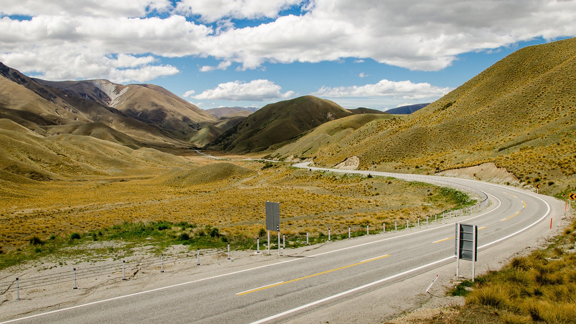
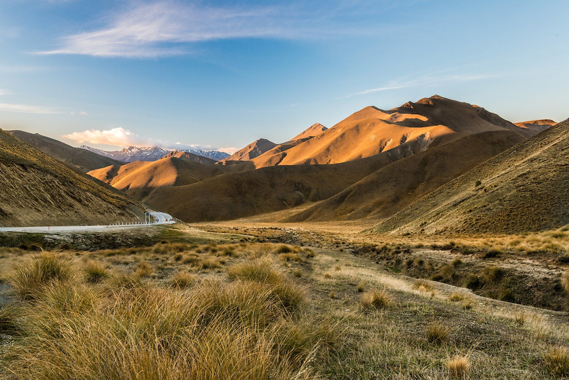
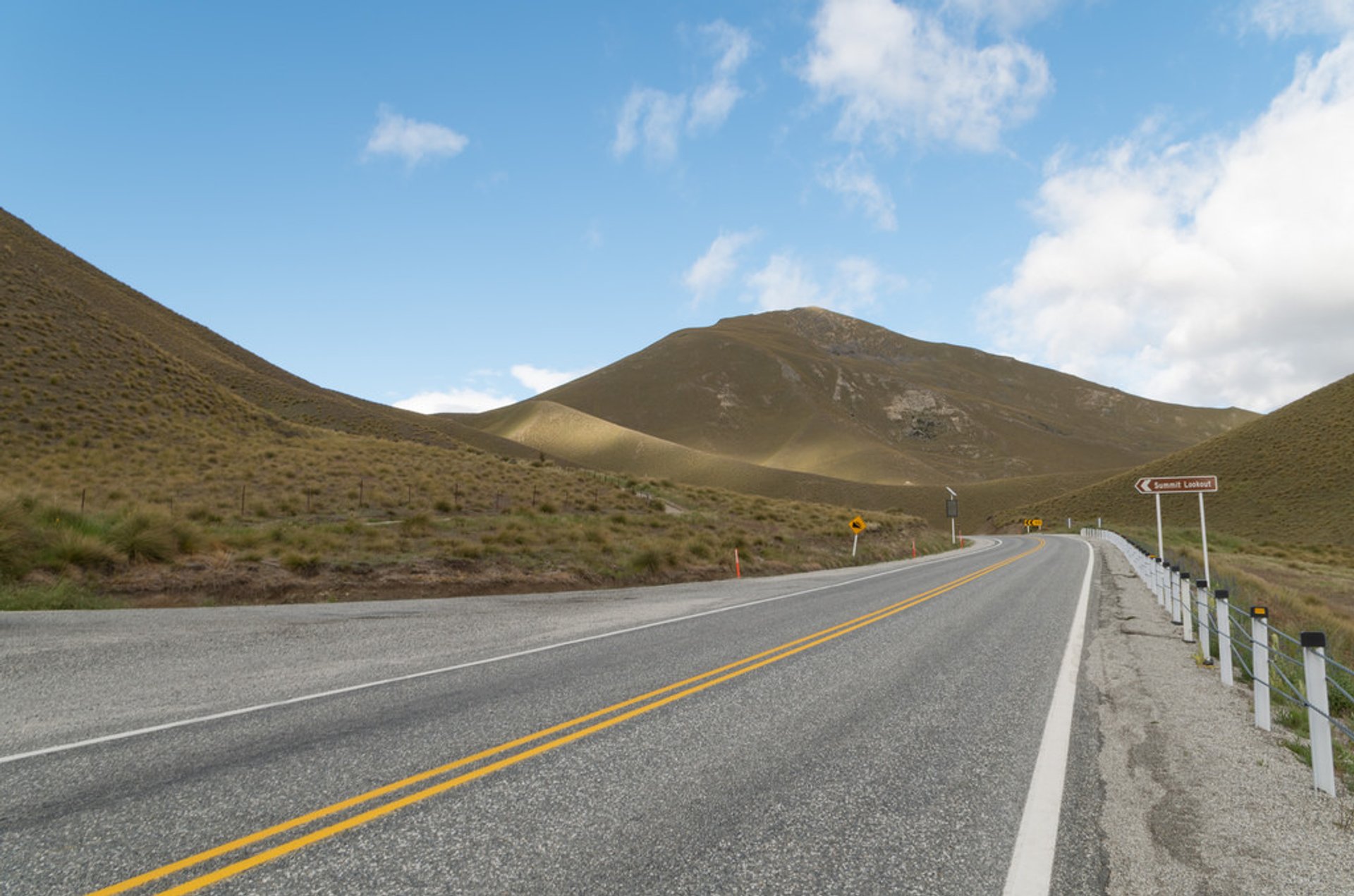
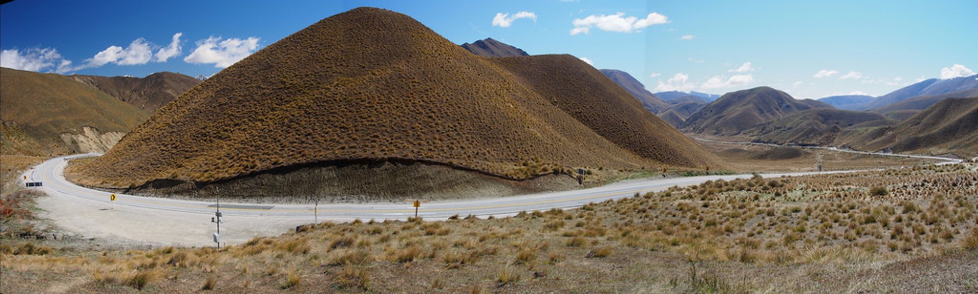
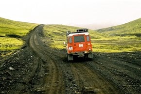
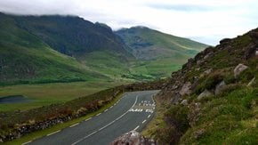
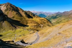
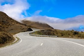
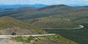
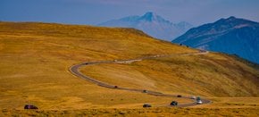
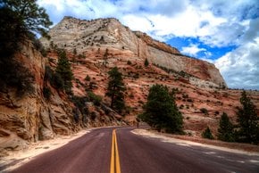
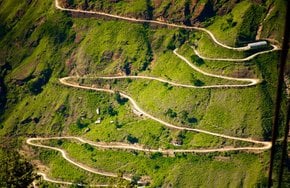
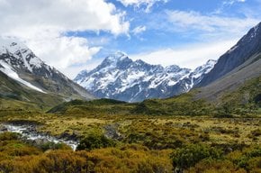
Lindis Pass lies between the valleys of the Lindis and Ahuriri Rivers in the South Island of New Zealand. State Highway 8 goes over the pass connecting the towns of Cromwell, Central Otago, and Omarama, North Otago, to the Mackenzie Basin in the Canterbury Region. Lindis Pass has an elevation of 971 m (3,186 ft) being the highest point on the South Island that can be accessed by car.

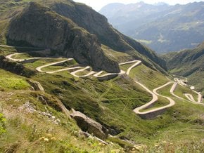
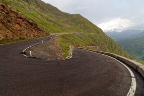
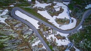
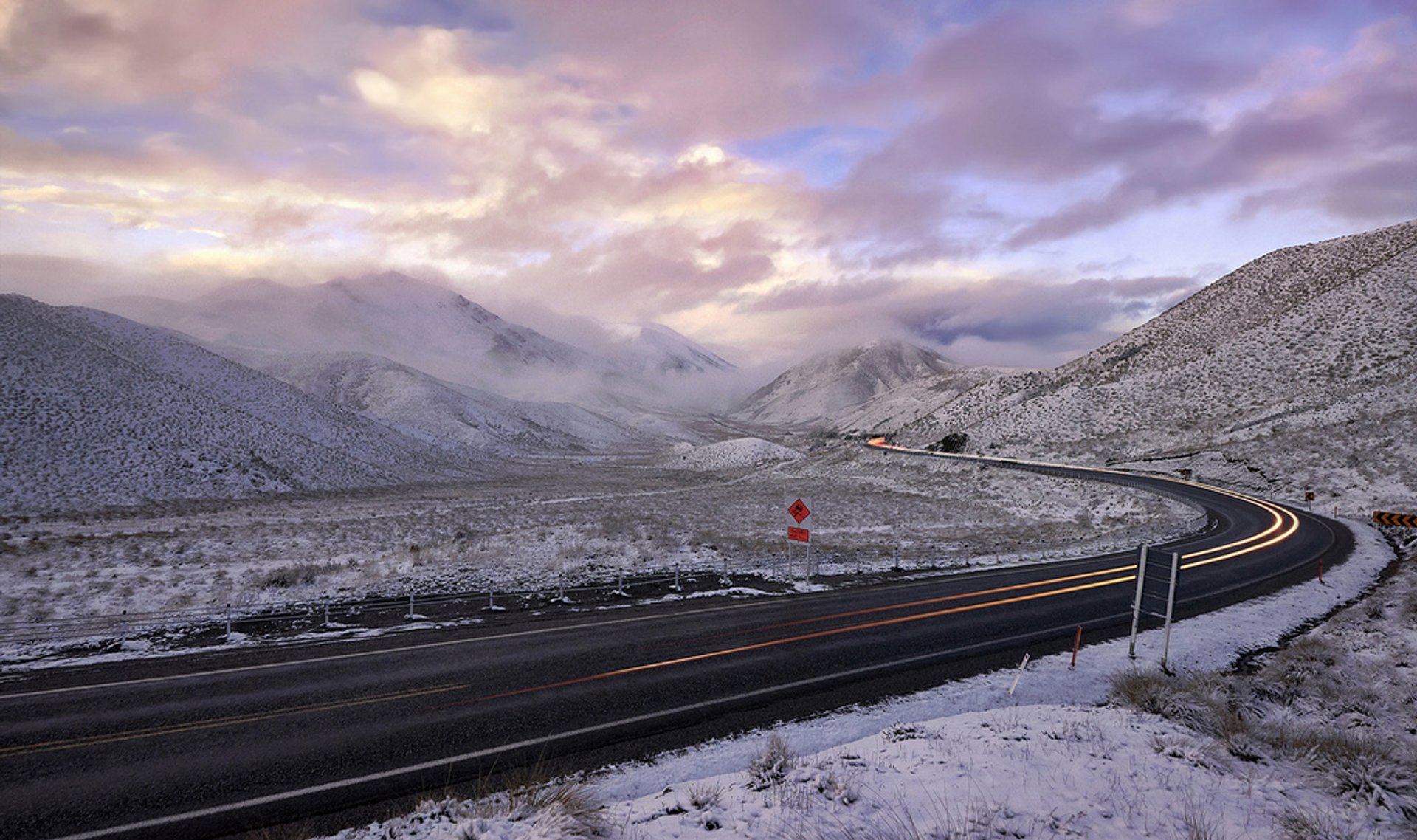
To get to Lindis Pass from Christchurch, drive to Lake Tekapo, then to Lake Pukaki, Twizel and Omarama. State Highway 8 South goes from Omarama to Lindis Pass. On this 63-km drive, you may drive at the speed ranges of 60-100 km/h (37-62 mph). The paved road is open year round, but drivers can see snow in this mountain area.

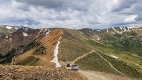
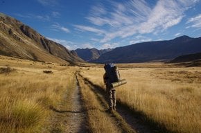
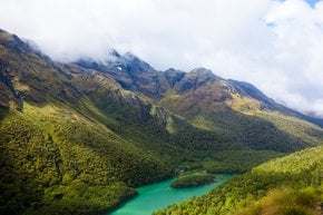
The highway goes along beautiful Lindis Conservation Area with vast alpine areas of tussock grassland. It is gorgeous all year round, but when the mountains are covered in snow, it's especially picturesque. This area is excellent for hiking, mountain biking, horseback riding, and bird watching. Birders can spot species like piwakawaka (fantail), karearea (falcon), titipounamu (rifleman), and riroriro (grey warbler). Hiking routes begin on the Tarras side of the Lindis Pass.

Practical info

What is Lindis Pass in New Zealand?

Situated between the valleys of the Lindis and Ahuriri Rivers in the South Island of New Zealand, Lindis Pass is a high mountain pass with an elevation of 971 meters (3,186 ft) that can be accessed by car. This 63 km pass has a paved road open year-round, and visitors can see snow in this mountain area. Show more

How can I get to Lindis Pass from Christchurch?

To reach Lindis Pass from Christchurch, travelers will drive to Lake Tekapo, then to Lake Pukaki, Twizel and Omarama, where State Highway 8 South goes leads to Lindis Pass. The 63-km drive offers speed ranges of 60- 100 km/h (37-62 mph). Show more

When is the best time to visit Lindis Pass?

While Lindis Pass is stunning all year long, it's particularly striking during the winter months when snow covers the mountains. For skiing, July to September is the best time, while the summer months are ideal to enjoy the vast alpine areas of tussock grassland. Show more

Where is Lindis Conservation Area located?

In New Zealand's South Island, Lindis Conservation Area is located along Lindis Pass, offering picturesque views of the vast alpine areas of tussock grassland. Visitors have plenty of activities to engage in, including hiking, bird watching, mountain biking, and horseback riding. Show more

What activities can I do at Lindis Pass?

Travelers can participate in several activities when visiting Lindis Pass, such as hiking in the vast alpine areas of tussock grassland or bird watching, with the opportunity to spot species like the piwakawaka (fantail), titipounamu (rifleman), karearea (falcon), and riroriro (grey warbler). Winters offer skiing and snow adventures. Show more

Ask a question

Find hotels and airbnbs near Lindis Pass (Map)

Last updated: by Eleonora Provozin