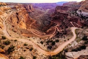
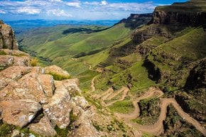
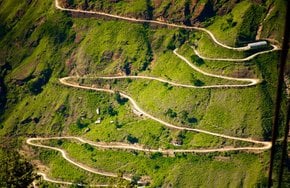
Best time to visit South Africa

Swartberg Pass in South Africa

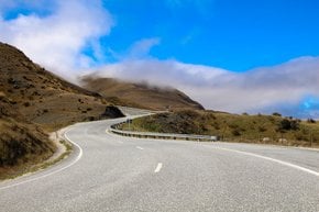
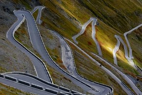
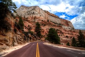
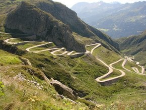
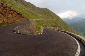
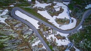
A curvy road with hairpin bends and unique colorful cliffs

Best time: all year round

Swartberg Pass
Swartberg Pass
Swartberg Pass

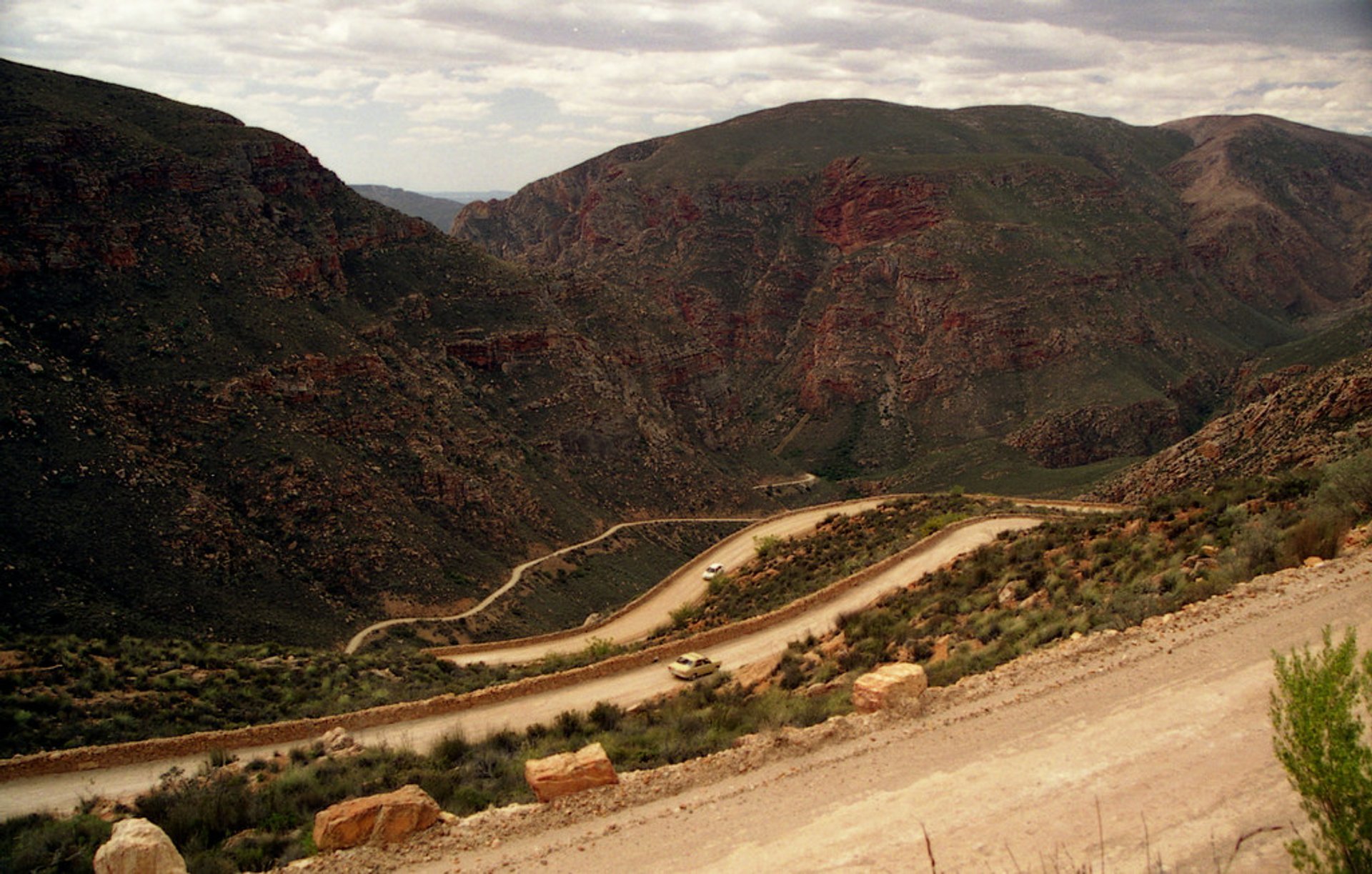
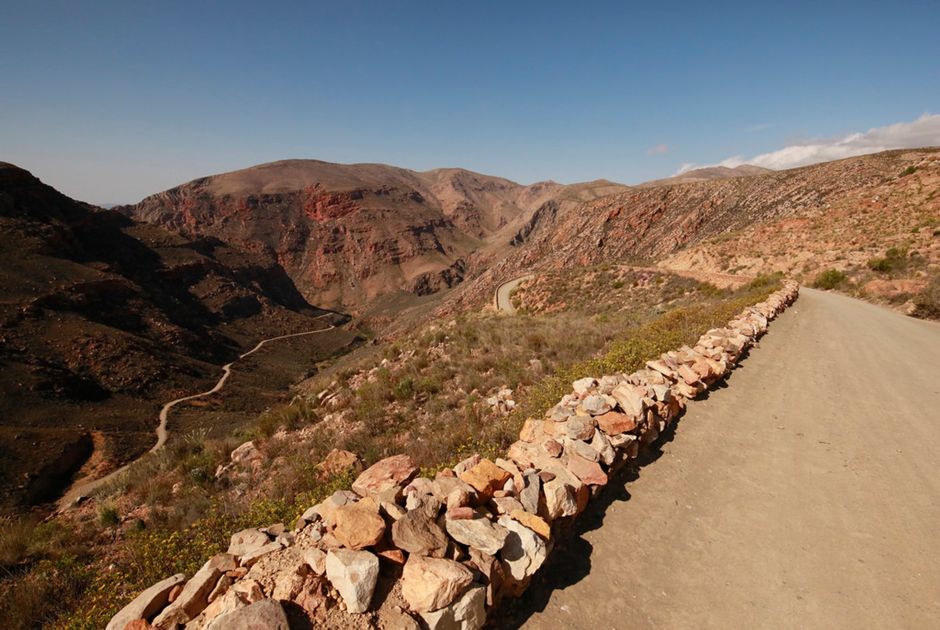
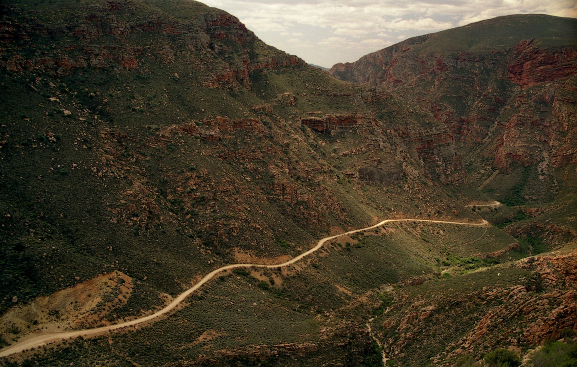
The Swartberg Pass is located on the R328 road in Swartberg mountain range, in the Little Karoo, Western Cape province of South Africa. With a maximum elevation of 1,583 m above sea level, the road climbs 1,000 meters in 12 km. The gravel road is one of the steepest in South Africa. However, it is open year round and doesn't require a 4WD vehicle to drive through the pass. The road starts in Oudtshoorn in the south and goes to Prince Albert in the north.

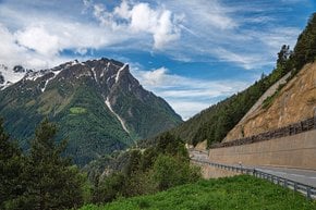
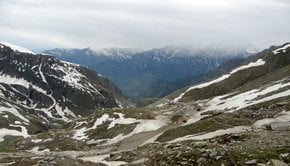
The road over Swartberg pass was built in 1888 by Thomas Bain, son of Andrew Geddes Bain, a famous South African explorer, geologist, and road engineer. The road still has some of the original dry stone retaining walls, that are over 100 years old. Swartberg is a UNESCO World Heritage Site. The Swartberg range is one of the best-exposed fold mountain chains on the planet, a truly unique and beautiful geological formation with remarkable colors of quartzite cliffs. The Little Karoo is a semi-arid area of South Africa with interesting plants and species. Not to mention breathtaking views of waterfalls and valleys. Swartberg Pass is definitely one of the most spectacular mountain passes in South Africa.

Practical info

When is the best time to drive Swartberg Pass?

Swartberg Pass is best experienced during the milder months of both autumn and spring (April to May and October to November, respectively). During these times, there are beautiful displays of flora and fauna in the Little Karoo region that surrounds the pass, and it is the best time for outdoor adventurers and sightseeing. Show more

Where can I get the best panoramic view of Swartberg Pass?

The Swartberg Eagles Nest has an amazing panoramic view of Swartberg Pass, and it can easily be accessed after you drive through the pass. The view from this location is an awe-inspiring sight that is perfect for photos and taking a moment to soak in the beauty of the surrounding mountains. Show more

What is the length of the Swartberg Pass route?

The Swartberg Pass route stretches for around 27 kilometers and reaches an altitude of 1,583 meters above sea level, covering the distance between the Western Cape towns of Oudtshoorn and Prince Albert. It takes an estimated 60 minutes to drive through the route, and the scenery along the way is a beautiful sight that is not to be missed! Show more

What type of vehicles are allowed on the Swartberg Pass road?

The Swartberg Pass is a gravel road, so most vehicles can traverse it with ease. The only vehicles that are prohibited from driving through the pass are large trucks and buses, as they would find the steep inclines and sharp turns difficult to navigate. However, it is recommended that you have a sturdy and properly maintained vehicle with good tires, although a 4-wheel-drive is not a requirement. Show more

What are the safety precautions to consider when driving through Swartberg Pass?

In order to ensure that the driving experience along Swartberg Pass is safe and pleasurable, it is important to observe the speed limits and traffic signs, drive carefully around the hairpin bends, and be aware of any approaching traffic, possible wild animals, or pedestrians. It is also imperative to pack enough food and water, as there are not many amenities along the route, and ensure that the vehicle is in good working order with suitable tires, brakes, and lights, and have an emergency plan in place in case of any mishap. Show more

Ask a question

Find hotels and airbnbs near Swartberg Pass (Map)

Last updated: by Eleonora Provozin